Giant's Castle Pass
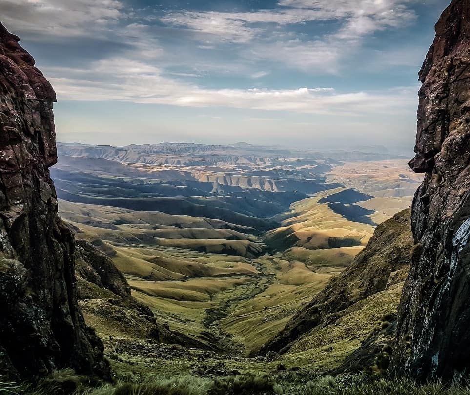
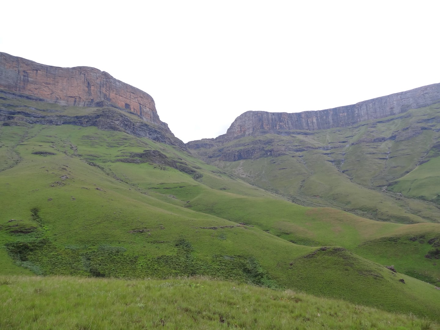
One of the most identifiable passes of the Drakensberg Mountains, Giant's Castle Pass is a steep, rocky ascent to 3 102m offering stunning views.
Some say it's an extreme 4 hr (6 km) hike from Giant's Hut below, others will say an easy 2hrs, we would say a 3 hr moderately difficult hike with a full backpack.
Listing Details
29°20'55.4"S 29°27'51.6"E
-29.348717, 29.464333
Pass Rating - 8/10 | Difficulty Rating - 6/10
Pass Distance & Altitude: 2km and 762m in altitude.
Pass Route: Starting from the the contour path intersection for Giants Ridge and Giant's Hut follow the contour path heading towards Giant's Castle Pass. After walking 1.9km's, having crossed a stream four times, the uphill path can be seen to your left (if you continue straight you will end up at the base of Langalibalele Pass).
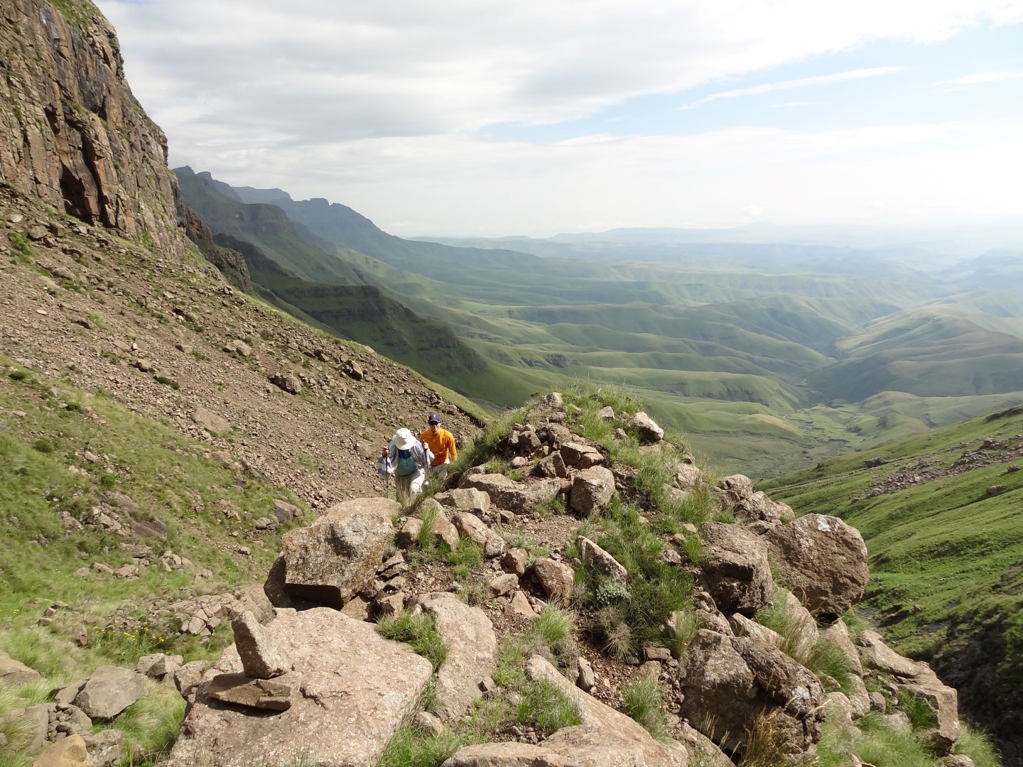
Follow the path to your left heading uphill until reaching a large boulder. From here walk towards the cairns upwards and to your left (on the southern slope) with the river bed to your right which then levels off and contours down and right to a large bed of boulders in the center of the pass.
Water is generally available here, in winter months however it's best to ensure you have sufficient water starting from the base of the pass. Next is a bit of scrambling on top of the largest rock along the stream/river. After about 100 meters, walk towards the the cairns slightly to your right heading steeply up.
If you find yourself on lots of gravel after following the cairns head further to your right to find an easier route up this steep section. This route eventually flattens and the path becomes very clear heading towards the right of the final gully on your left. The final gully is a short but steep section and requires some easy climbing up a few boulders to the top at 3102 m.
Camping: At the start of the pass is a reasonably flat camping area and a stream. Once at the top there are plenty of areas to camp, a bit further along after the pass to the right is a better spot if the wind is blowing hard.
| Track length: | 2.03 km |
| Total ascent: | 760 m |
| Total descent: | 0 m |


