Cobham to Mzimkulwana Hut and Lakes Cave


A stunning 3 day hike. If you want a moderately easy hike, enjoy seeing Bushman Paintings want the luxury of a Hut on night 1 and enjoy caves as your accommodation on night 2 this is the hike for you.
The sunrise from Lakes Cave is brilliant and the colours of a sunrise on the berg mountains are brilliant.
The Hut can be quite cold as in a valley near a river so do take some warm clothes along also.
Listing Details
29°42'10.8"S 29°24'48.3"E
-29.702989, 29.413414
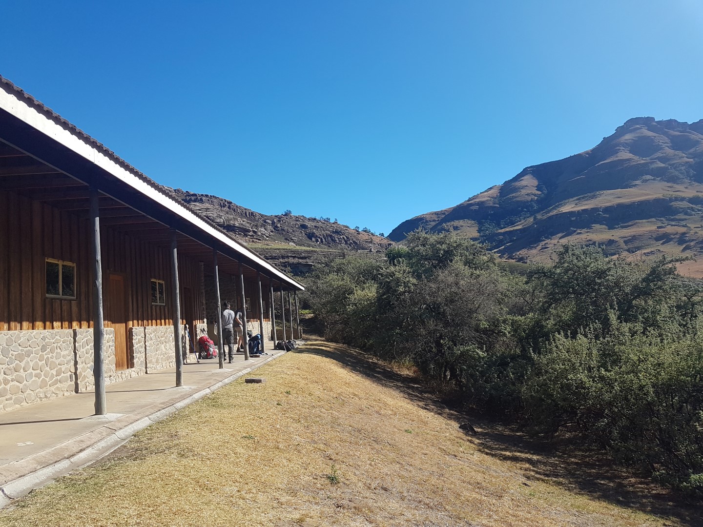
Day 1: From Cobham (North is Ndlovini Peak and to the right is Grandma Peak then Emerald Dome)
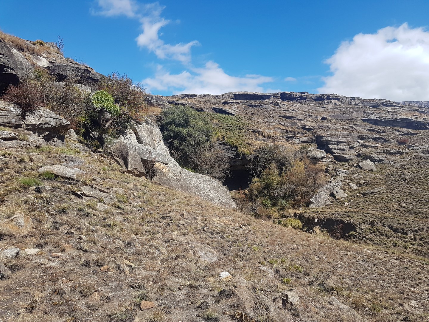
Cobham Parking Lot –> Allens Shelter (1km) -> Tortise Rocks (2.8km – 225m up) -> Bathplug Cave (4km) -> Mzimkhylwana Hut (8.64km)
From Hut
- South is Bamboo Mountain (4km)
- West is Little Bamboo Mountain (4.5km)
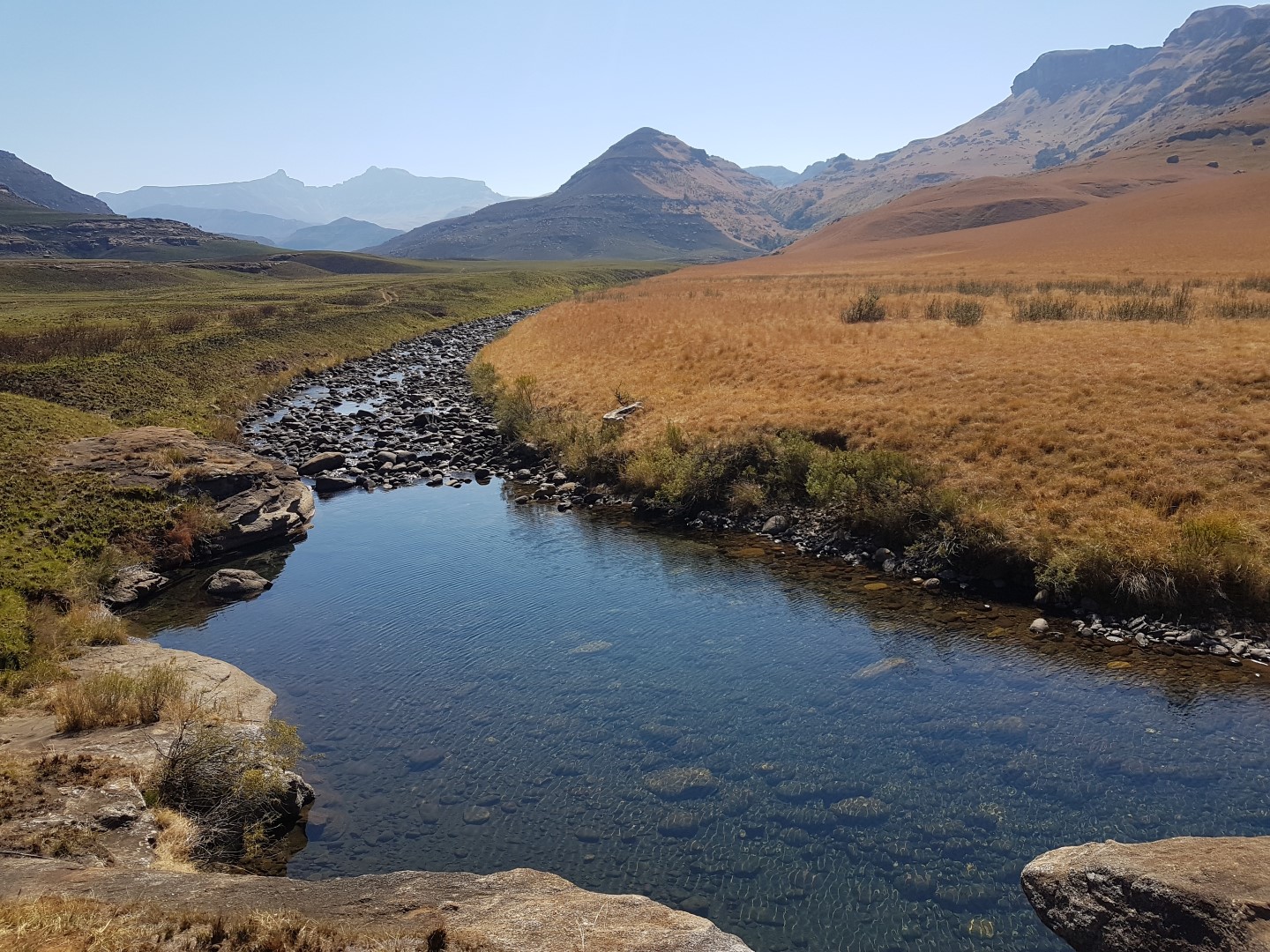
- River below hut is Mzimkhulwana River
- River above hut is Siphongweni River
- North / North South is eSiphongweni Peak which has Mpongweni Shelters and Siphongweni Cave (2.6km)
- North / North West The Pimple Mountain (1.3km)
- Behind The Pimple is Amakehla Pass (11km)
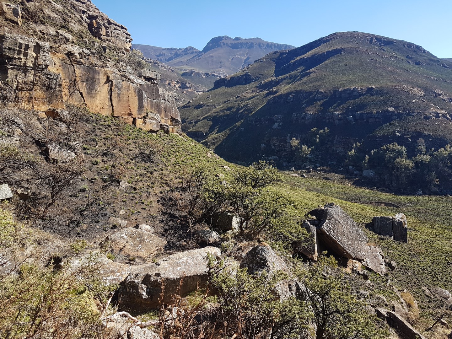
Day 2
Mzimkhylwana Hut -> Hike till level with The Pimple, then cross river up hill to Siphongweni Cave (3.5km – 350m up) -> Whale Back (5.4km) -> Titty (6.6km) -> The Policeman (7.6km) -> Lakes Cave (9.3km)
From Cave
- East is Camel Rock (850m)
- North West is Amakehla Pass (3.5 km) / Left is Minaret Pass (North view)
- Peaks North (NNE) is Hodgsons Peak South and North
- 3rd peak to the right is Sani Peak
- Left of Minaret Pass is The Block, Sandleni Pinnacle, No Mans Peak, Verkyker Buttress and Peak and Rhino Peak
- SW below is Weavers Cave (1.89km)
Day 3
Lakes Cave -> Nutcracker Cave (2.3km) -> C53 Shelter (4.8km) -> Monster Rocks (6.1km) -> Boundry Rock (7.7km) -> Cobham (12km)
| Track length: | 29.98 km |
| Total ascent: | 902 m |
| Total descent: | 903 m |