Injisuthi to Centenary Hut and Marble Baths Cave


A three day, two nights hike starting at Injisuthi Camp. Each day of this circular route has its own unique views and hiking challenges.
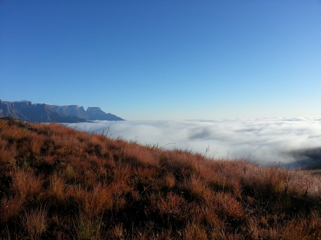
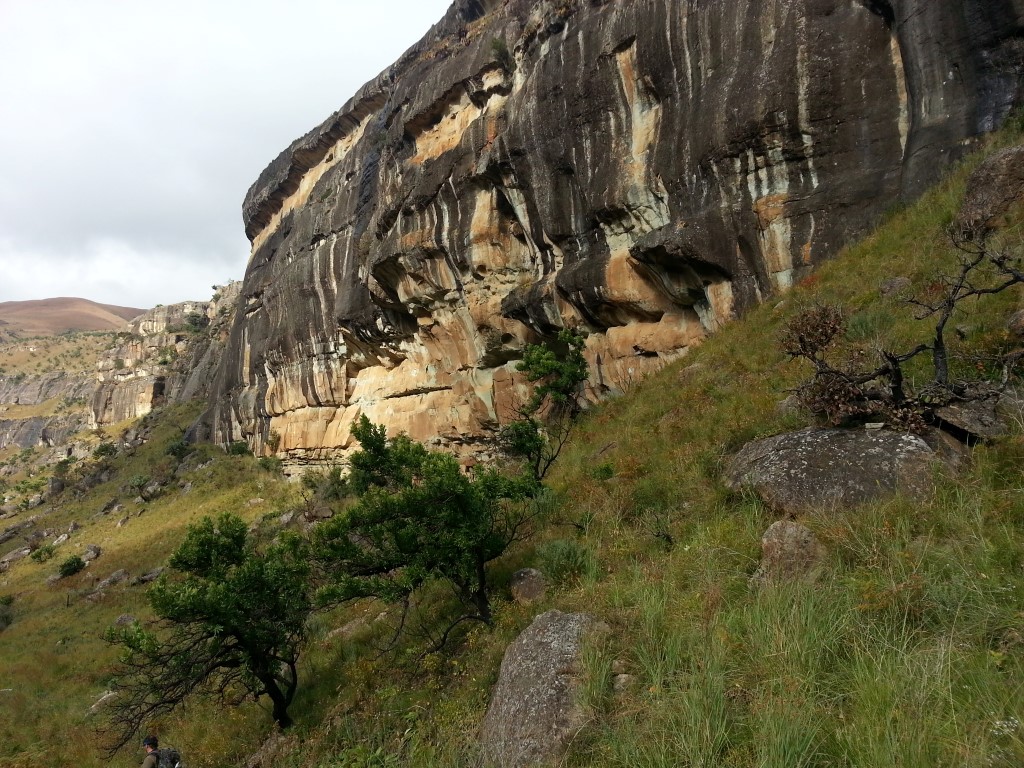
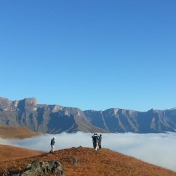
Day one to Centenary is a testing 10.5km to Centenary Hut, wake up the next morning to a stunning sunrise. Day 2 is the day without paths, a steep downhill and then a small climb near the end. Hiking sticks for the downhill are highly recommended.
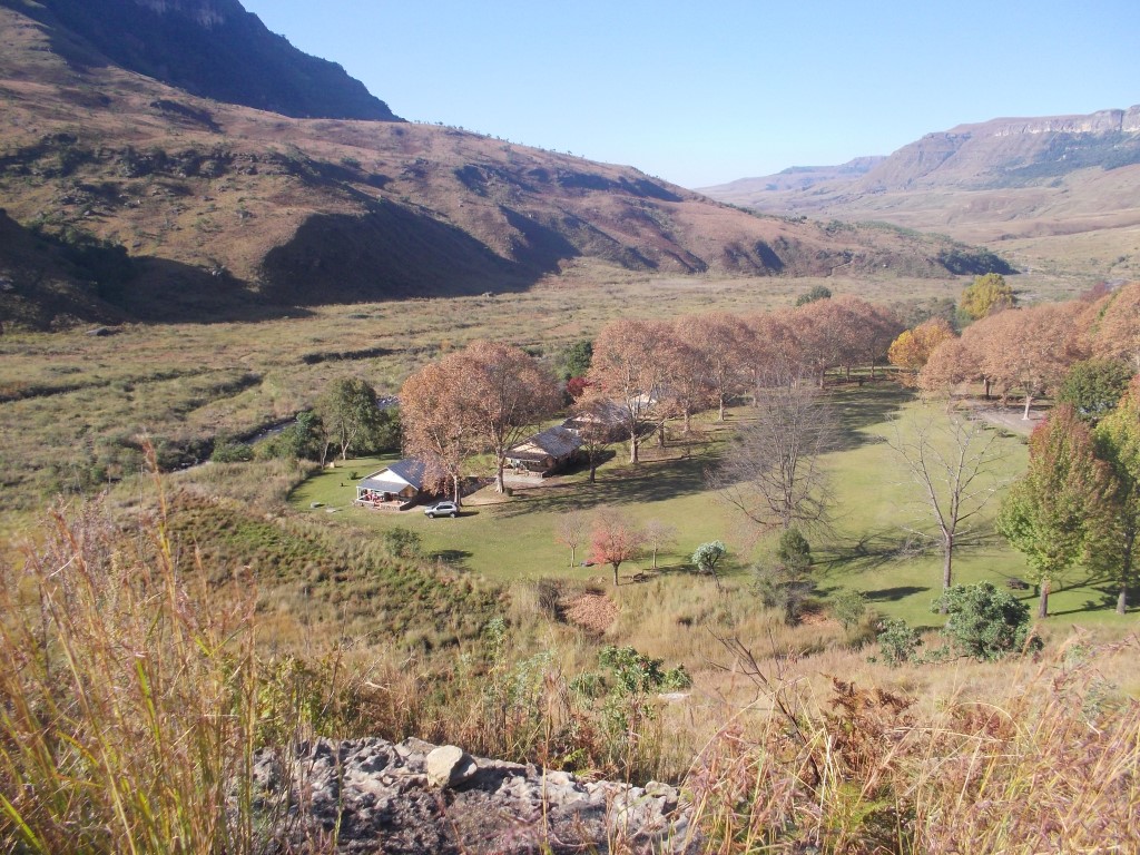
Day three is up and over a valley and then back down to Injisuthi camp with some of the best views of the Drakensberg. Its a 3 days you will forever remember.
Listing Details
Area
Location (Degrees)
29°07'08.6"S 29°26'19.6"E
Location (Decimal)
-29.119050, 29.438781
Cave Name
Max Number in Cave
6
Type of Hike
Overnight
Hike Grade
Total Hike Distance (Km's)
33.3
Total Hike Duration (Hrs)
19.0
Altitude
1,472
Hut Name
Max Number in Hut
8
Tags
Tracks
GPS Track Details
| Track length: | 33.37 km |
| Total ascent: | 1720 m |
| Total descent: | 1720 m |
Map
Reviews (1)
 by
chris wilding
by
chris wilding
Alternate route
I did a similar route, recently, but in reverse, and was interested to see how you dropped off the contour path to LIC. A very direct, downhill route I see! I took a more miandering, uphill route in the opposite direction. What are your thoughts about going up an over from LIC to Marble Baths, rather than back down the river valley? Thank you