Leslie's Pass
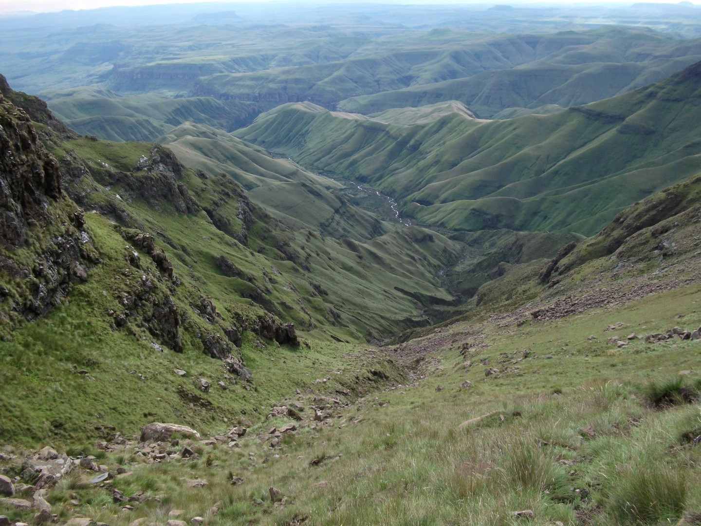
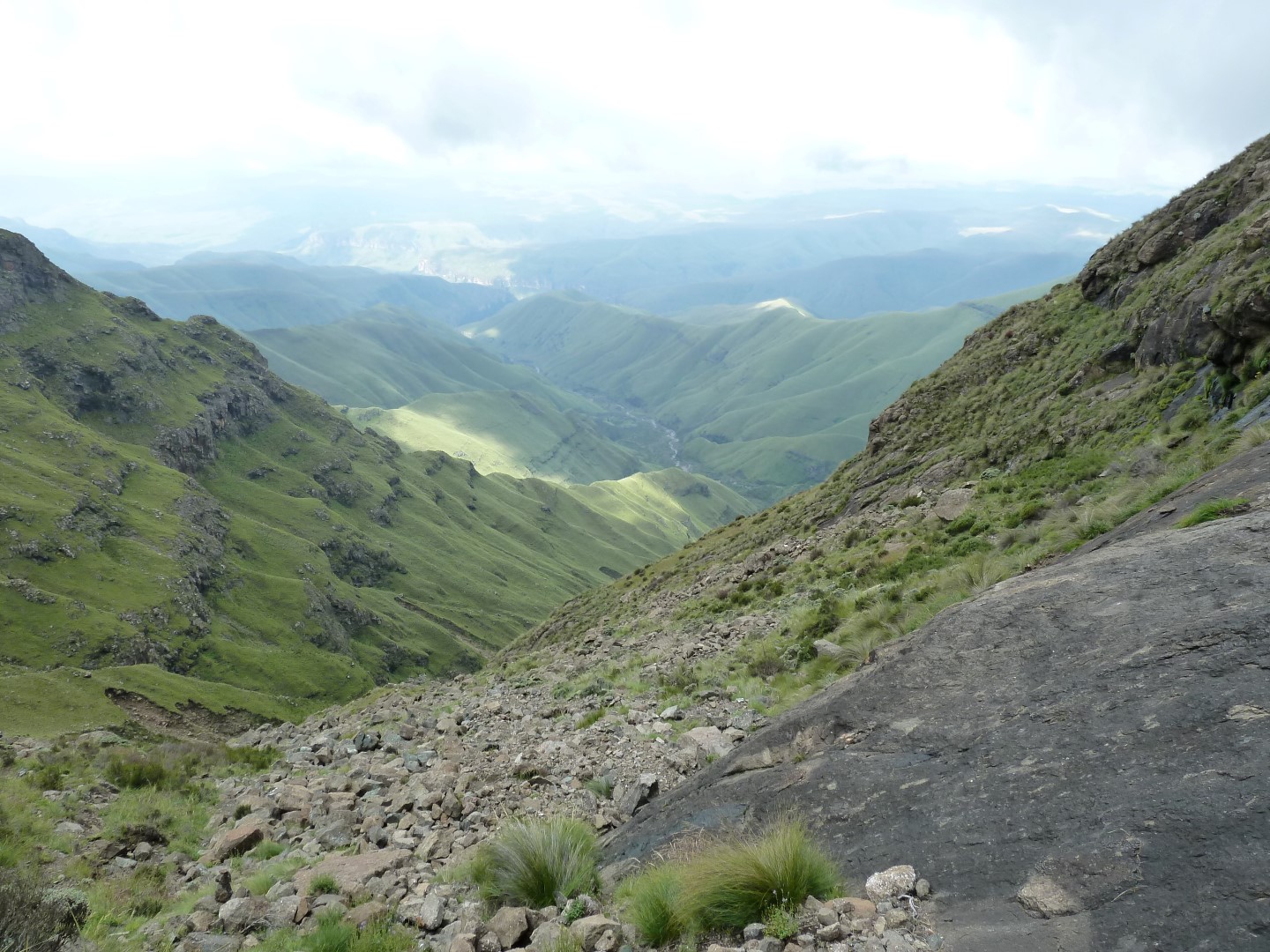
Leslie's Pass is relatively easy to hike, it is just very long. Leslie's and Injisuthi pass are the only routes to the top in the Injisuthi area.
Listing Details
Region
Area
Location (Degrees)
29°09'12.8"S 29°20'37.9"E
Location (Decimal)
-29.153550, 29.343850
Type of Hike
Day Hike, Overnight
Hike Grade
Hike Distance (Km's to destination)
2.6
Total Hike Distance (Km's)
5.2
Hike Duration (to destination)
3.0
Hike Duration (return)
3.0
Total Hike Duration (Hrs)
6.0
Explore
Passes
Altitude
3,073
Pass Name
Tags
Tracks
GPX track map
Elevation (altitude) diagram of the track
Track length and Trackpoint information
Information | Calculated value |
---|---|
Overall distance (metric) | 2.6 km |
Overall distance (imperial) | 1.6 miles |
Elevation / altitude data (metric)
Information | Calculated value |
---|---|
Altitude range (highest-lowest point) | 972 m |
Minimum altitude (lowest point) | 2099 m |
Maximum altitude (highest point) | 3071 m |
Uphill (addition of positive altitude changes) | 959 m |
Downhill (addition of negative altitude changes) | 0 m |
Elevation / altitude data (imperial)
Information | Calculated value |
---|---|
Altitude range (highest-lowest point) | 3189 ft |
Minimum altitude (lowest point) | 6886 ft |
Maximum altitude (highest point) | 10075 ft |
Uphill (addition of positive altitude changes) | 3146 ft |
Downhill (addition of negative altitude changes) | 0 ft |
Map
Reviews (1)

Best Day of my life
Pass was super difficult. Most pf my crew had tp turn around. Found a great 3 man cave, might have left a jiggie in the corner. Submit review See all 1 reviews