Rockeries Pass
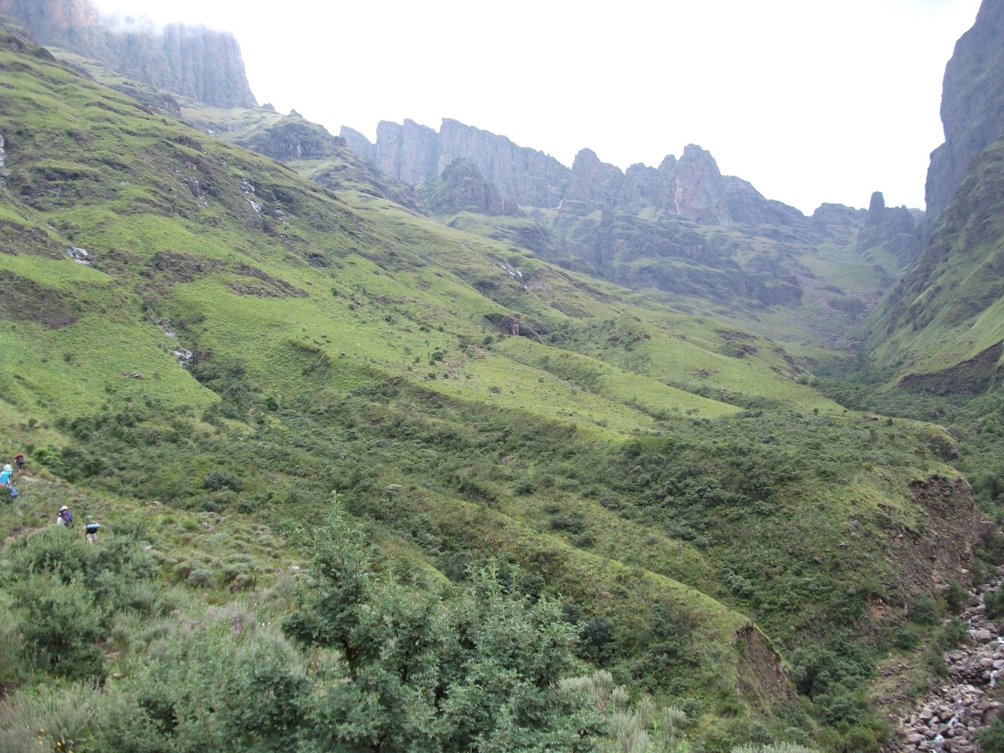
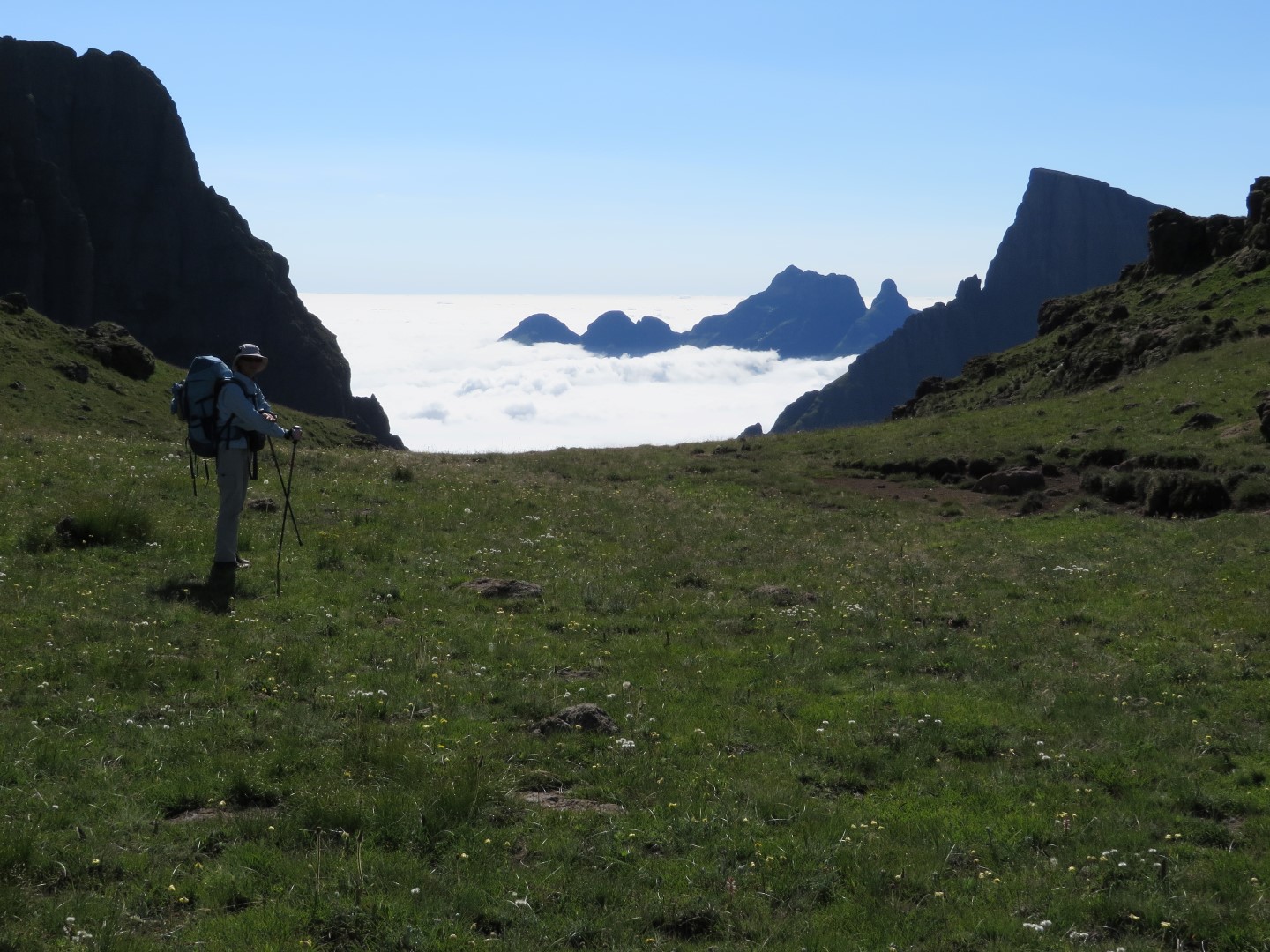
Rockeries Pass is a relatively easy way to reach the escarpment in the Mnweni area. Navigating your way along this pass is no problem at all because the path is clear.
Listing Details
Region
Location (Degrees)
28°53'50.0"S 29°01'41.8"E
Location (Decimal)
-28.897217, 29.028267
Type of Hike
Day Hike, Overnight
Hike Grade
Hike Distance (Km's to destination)
4.2
Total Hike Distance (Km's)
8.4
Hike Duration (to destination)
3.5
Hike Duration (return)
3.5
Total Hike Duration (Hrs)
7.0
Explore
Passes
Altitude
2,902
Pass Name
Tags
Tracks
GPX track map
Elevation (altitude) diagram of the track
Track length and Trackpoint information
Information | Calculated value |
---|---|
Overall distance (metric) | 4.2 km |
Overall distance (imperial) | 2.6 miles |
Elevation / altitude data (metric)
Information | Calculated value |
---|---|
Altitude range (highest-lowest point) | 987 m |
Minimum altitude (lowest point) | 1913 m |
Maximum altitude (highest point) | 2900 m |
Uphill (addition of positive altitude changes) | 965 m |
Downhill (addition of negative altitude changes) | 5 m |
Elevation / altitude data (imperial)
Information | Calculated value |
---|---|
Altitude range (highest-lowest point) | 3238 ft |
Minimum altitude (lowest point) | 6276 ft |
Maximum altitude (highest point) | 9514 ft |
Uphill (addition of positive altitude changes) | 3166 ft |
Downhill (addition of negative altitude changes) | 16 ft |
Map
Reviews (0)