Sterkhorn (Mount Memory)
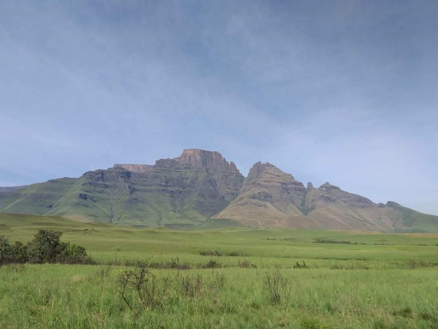
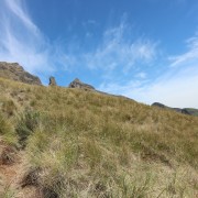
Sterkhorn (Mount Memory) is in the Monks Cowl area. At the top you will find the M.O.T.H memory cross.
For very fit and experienced hikers / trail runners Sterkhorn can be reached on a day hike.
Listing Details
Region
Area
Location (Degrees)
29°04'04.5"S 29°21'08.0"E
Location (Decimal)
-29.067919, 29.352217
Type of Hike
Day Hike
Hike Grade
Hike Distance (Km's to destination)
8.3
Total Hike Distance (Km's)
16.6
Hike Duration (to destination)
5.0
Hike Duration (return)
4.0
Total Hike Duration (Hrs)
9.0
Explore
Peaks
Altitude
2,973
Tags
Tracks
GPX track map
Elevation (altitude) diagram of the track
Track length and Trackpoint information
Information | Calculated value |
---|---|
Overall distance (metric) | 8.1 km |
Overall distance (imperial) | 5 miles |
Elevation / altitude data (metric)
Information | Calculated value |
---|---|
Altitude range (highest-lowest point) | 1389 m |
Minimum altitude (lowest point) | 1489 m |
Maximum altitude (highest point) | 2878 m |
Uphill (addition of positive altitude changes) | 1431 m |
Downhill (addition of negative altitude changes) | 45 m |
Elevation / altitude data (imperial)
Information | Calculated value |
---|---|
Altitude range (highest-lowest point) | 4557 ft |
Minimum altitude (lowest point) | 4885 ft |
Maximum altitude (highest point) | 9442 ft |
Uphill (addition of positive altitude changes) | 4695 ft |
Downhill (addition of negative altitude changes) | 148 ft |
Map
Reviews (0)