Bannerman Hut and Bannerman Pass Circular Route
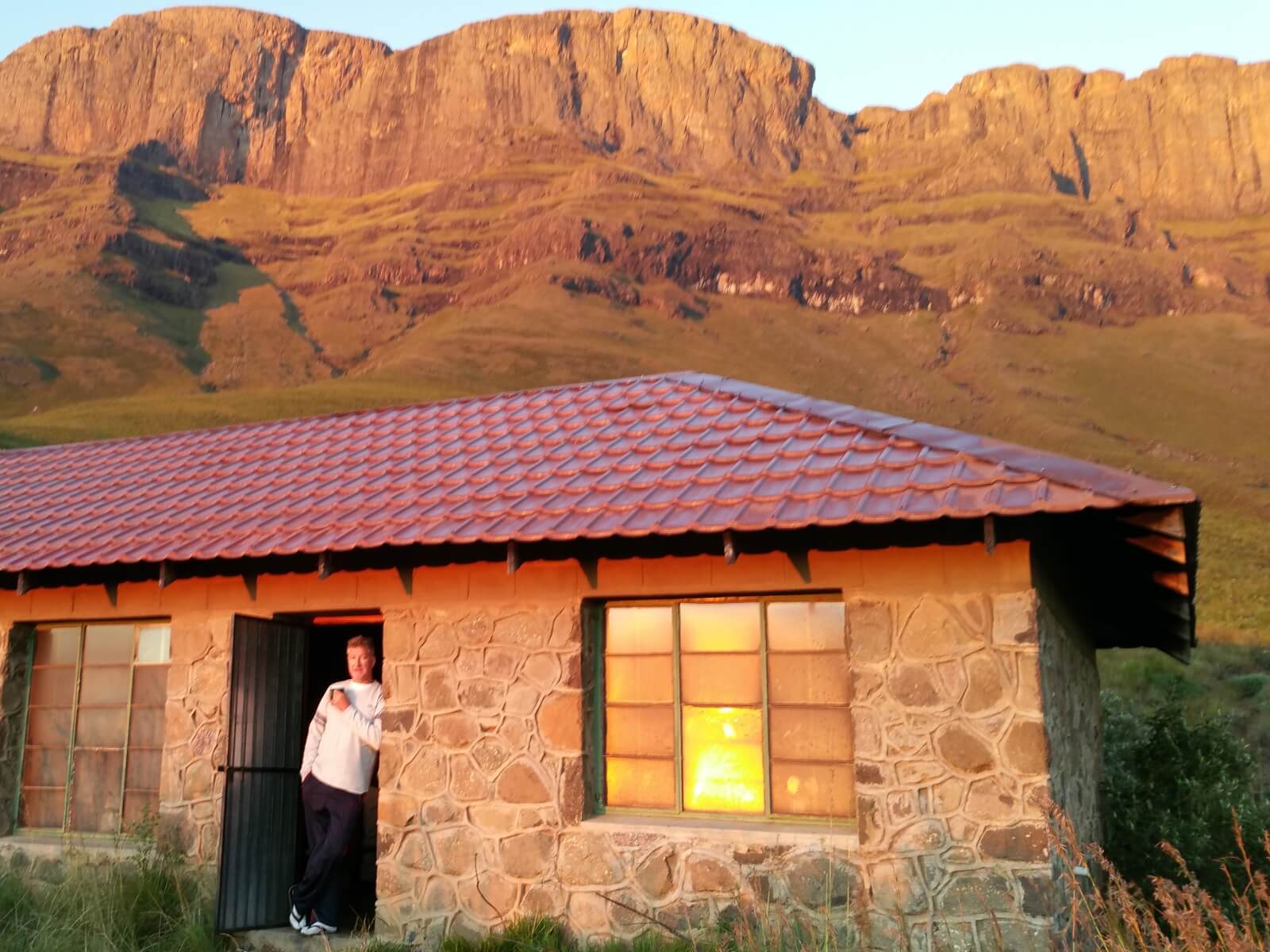


If you only ever do one overnight hiking trip in the Drakensberg then this is at the top of the list. The hike to Bannerman Hut on day one is 10km and a climb, most people will be fine.
Sleep in relative luxury and in the morning hike up Bannerman Pass. You have plenty time to get to the top and back before sunset for your second night at Bannerman Hut, take it slow and enjoy every second.
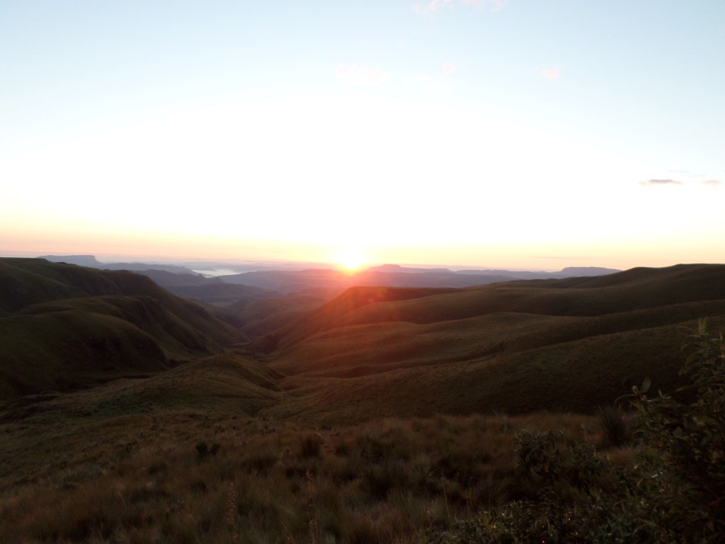
Day three, return via Langalibalele Ridge, mostly downhill, the views all the way down will have you in awe.
Listing Details
Area
Location (Degrees)
29°16'12.29"S,29°31'11.87"E
Location (Decimal)
-29.270074,29.519973
Type of Hike
Overnight
Hike Grade
Total Hike Distance (Km's)
29.6
Total Hike Duration (Hrs)
15.0
Explore
Caves, Huts, Passes, Peaks
Altitude
1,747
Pass Name
Tags
Tracks
GPS Track Details
| Track length: | 29.70 km |
| Total ascent: | 1575 m |
| Total descent: | 1576 m |
Map
Reviews (0)