
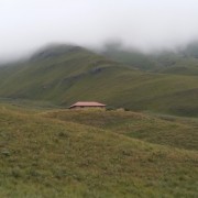
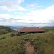
Bannerman Hut Hike


 A 10 km hike, mostly uphill to the best overnight hut in the Drakensberg. The hike starts at the day picnic spot at Giants Castle. A short downhill and then a mostly gentle climb for about 4km's.
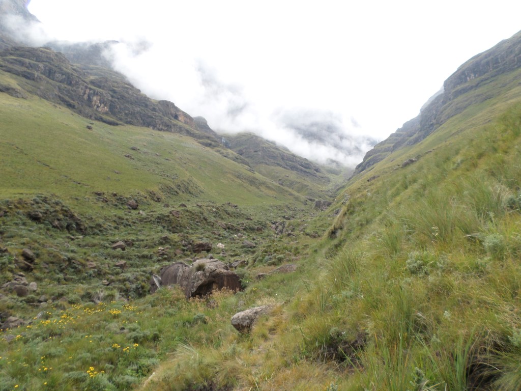
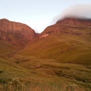
The last 5km's are along the contours to the Hut, enjoy the views on the way. The sunrise that awaits you from the hut in the morning is spectacular.
Region
Area
Location (Degrees)
S29 15.198 E29 25.188
Location (Decimal)
-29.253300, 29.419800
Type of Hike
Day Hike, Overnight
Hike Grade
Hike Distance (Km's to destination)
10.0
Total Hike Distance (Km's)
20.0
Hike Duration (to destination)
4.0
Hike Duration (return)
3.5
Total Hike Duration (Hrs)
7.5
Explore
Huts
Altitude
2,265
Pass Name
Tags
Tracks
| distance | duration | avg. speed | trackpoints | trackpt. distance |
|---|---|---|---|---|
| 10 km | n/a | n/a km/h | 405 | 24.65 m |
| altitude range | lowest point | highest point | uphill | downhill |
|---|---|---|---|---|
| 572 m | 1691 m | 2263 m | 608 m | 109 m |