
Bannerman Hut via Langalibalele Ridge


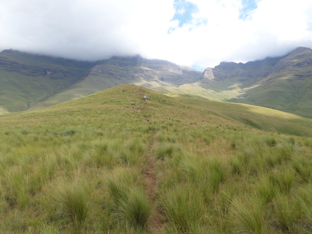


 The long way to get to Bannerman Hut, 14km's, 609m uphill most of which is in the 1st half of the hike, its pretty flat thereafter.
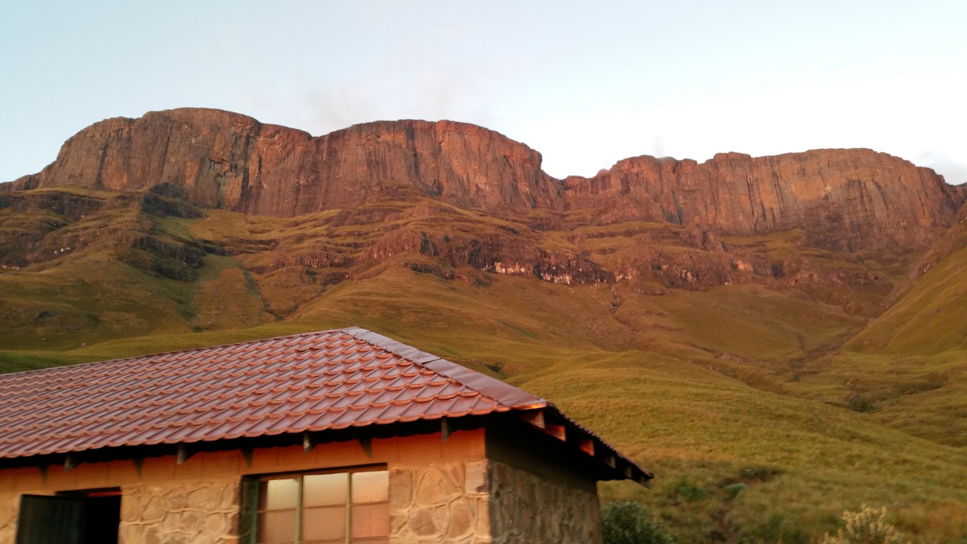
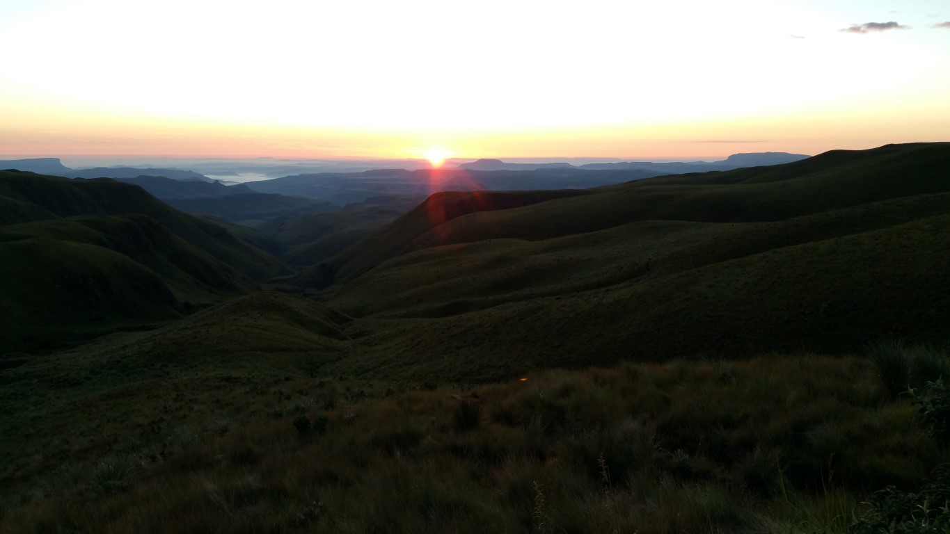
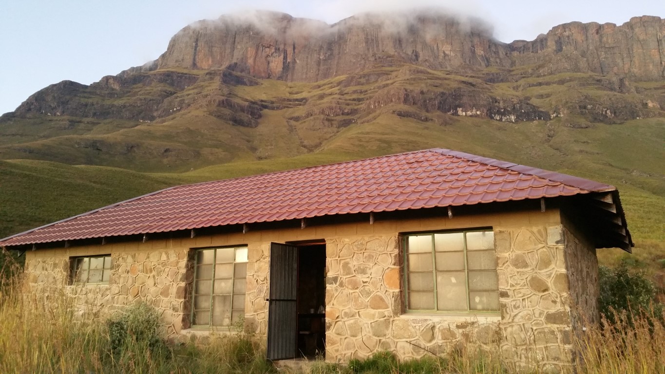
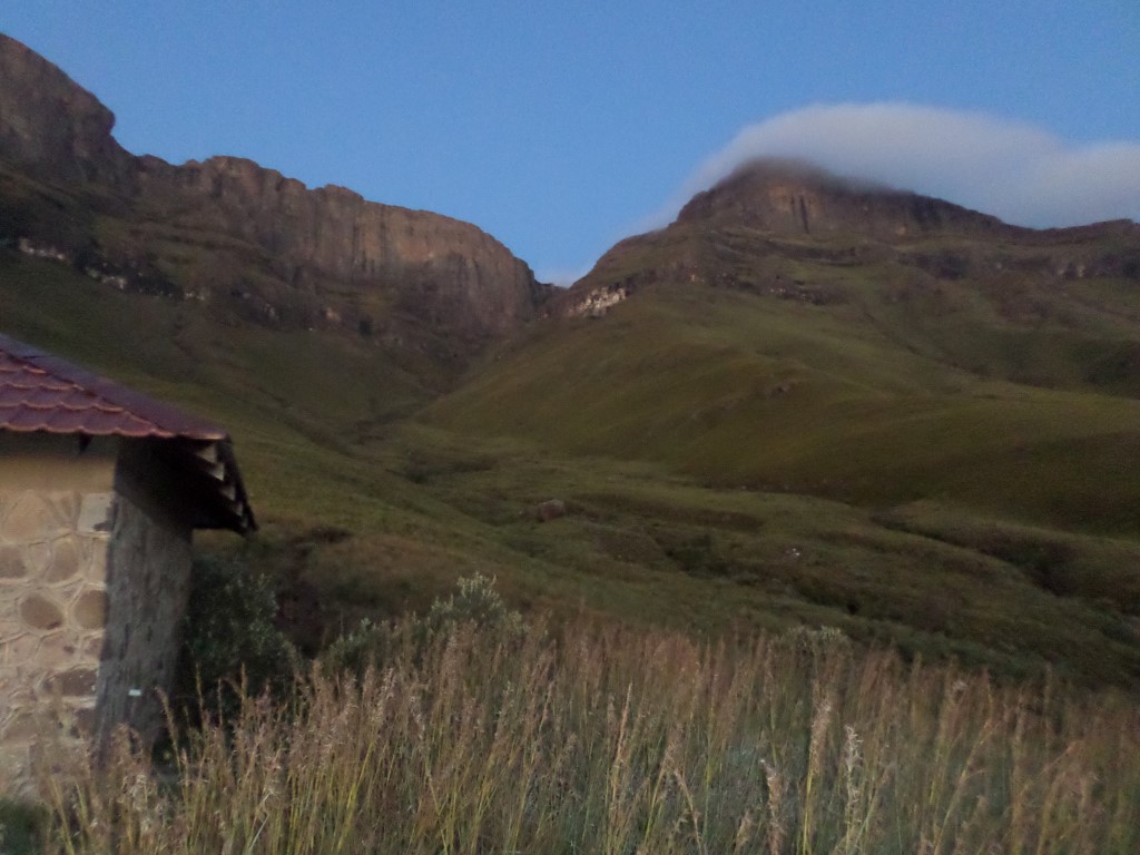
The views from Bannerman Hut and the relative luxury of the hut overnight will make the hike worth while.
Region
Area
Location (Degrees)
S29 15.198 E29 25.188
Location (Decimal)
-29.253300, 29.419800
Type of Hike
Day Hike, Overnight
Hike Grade
Hike Distance (Km's to destination)
14.9
Total Hike Distance (Km's)
29.8
Hike Duration (to destination)
6.0
Hike Duration (return)
5.0
Total Hike Duration (Hrs)
11.0
Explore
Caves, Huts, Passes
Altitude
2,265
Tags
Tracks
| distance | duration | avg. speed | trackpoints | trackpt. distance |
|---|---|---|---|---|
| 14.9 km | n/a | n/a km/h | 389 | 38.36 m |
| altitude range | lowest point | highest point | uphill | downhill |
|---|---|---|---|---|
| 527 m | 1736 m | 2263 m | 601 m | 108 m |