Bushman's Cave (via Slab Cave) Hike


This is a moderate hike of 9.6km to Bushmans Cave. You can either return the same day, overnight in the Cave or make this day 1 of a multi day hike in the Bushman's Nek area.
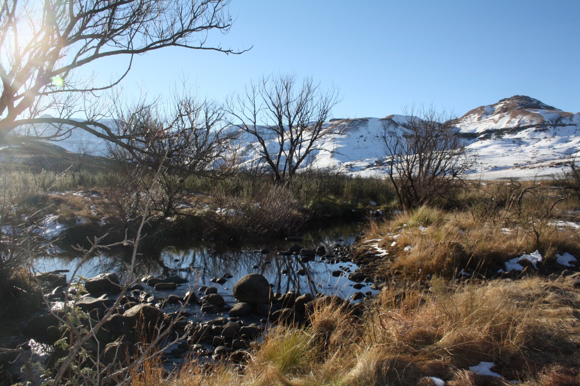
The views in the valley along the way are stunning and once just above the Cave the southern escarpment views towards Rhino and Hodgson's peaks await you.
Listing Details
29°48'30.2"S 29°08'03.3"E
-29.808400, 29.134250
The route starting at the Bushman's Nek Office where you fill in the mountain register passes the South African border post. You then cross the stream twice and turn right (if you go straight you are heading towards Tarn Cave and would cross the stream a third time) thus walking with Bushmans River on your right. To your right on the other side of the river you will see Bushman's Nek Hut as you walk along a slightly upward path.
Over the next 5km's you will cross the Bushman's river 3 times and then reach Slab/Halfway Cave. A good spot for a lunch break.
The gradient gets steeper from here as you wind your way up the valley to Bushmans Cave about 4.5km from Slab/Halfway Cave. The top of Ngwangwane Pass (Bushman's Pass) is only 930m from the cave. A few meters above the cave are excellent views along the southern escarpment towards Rhino and Hodgson's peaks.
| Track length: | 9.63 km |
| Total ascent: | 530 m |
| Total descent: | 11 m |