Bushman's Nek Pass Hike


The Bushman's Nek Pass is suitable for hiking and horse riding. The hike from Bushamn's Nek camp to the top of the pass is 8km with a total elevation gain of 679m making this a moderatley difficult hike.
The first half of the hike takes you past Cedric's Pool and is relatively flat, the next 3km are steep to the top of the pass and the final 2km to the Lesotho border is relatively flat.
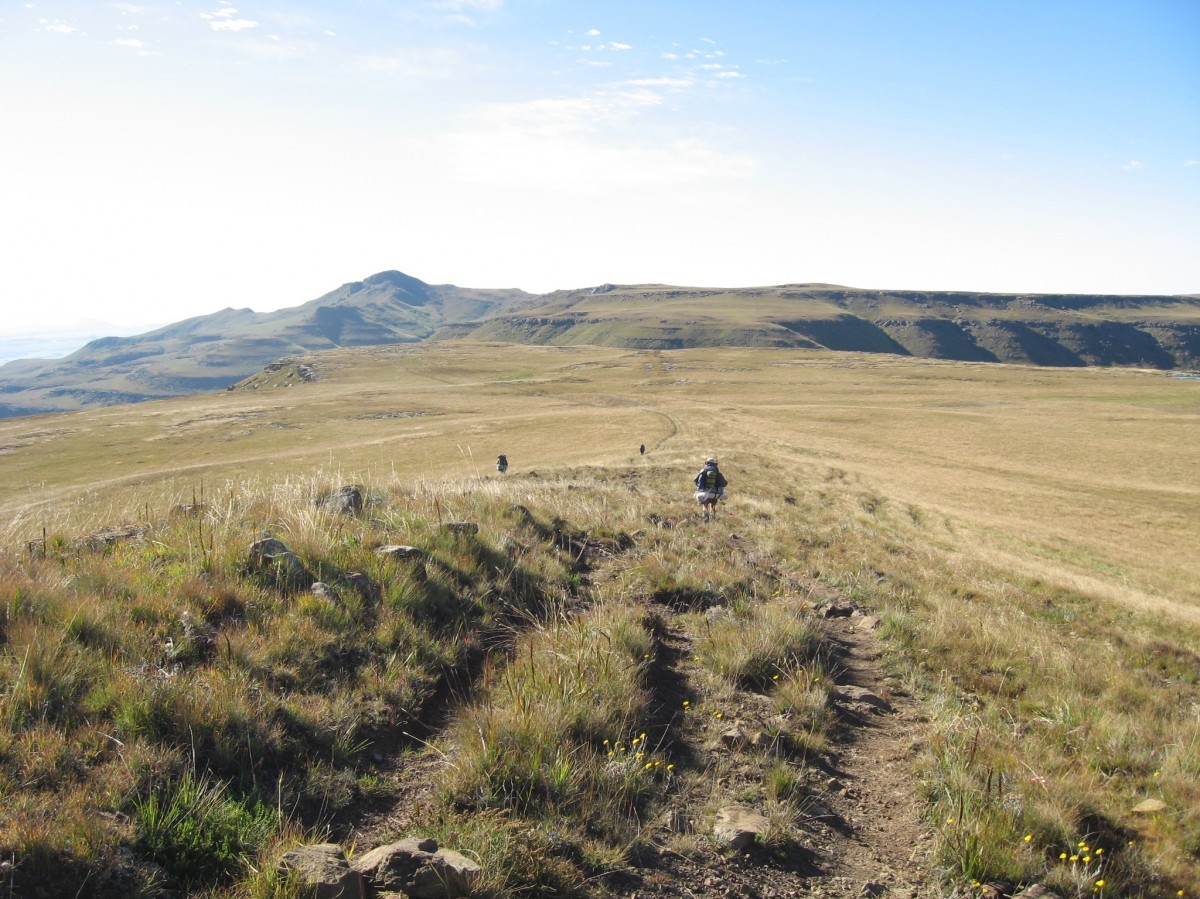
The view overlooking Bushman's Nek and Lesotho make this hike well worth the effort.
Listing Details
29°52'26.4"S 29°09'55.2"E
The route starting at the Bushman's Nek Office where you fill in the mountain register passes the South African border post. You then cross the stream three times (a turn to the right after the second stream takes you towards Bushman's Cave.)
You follow the path with the Ngwangwane River on your right and after 4.5km is a turn to the right for Cedric's Pool, perhaps a good spot for a rest before starting the hike up the hill.
Follow the path up the hill for roughly 3km (this is the steepest section of the hike) after which you are at the top of the pass. From here only a short way until you reach Lesotho, 2km along the ridge in an Easterly direction, if you turn left when at the top of the pass (North Easterly direction) then you would be heading towards Jonathan's Gate at the Lesotho Border.
| Track length: | 9.93 km |
| Total ascent: | 678 m |
| Total descent: | 0 m |