Caracal Cave Hike


Caracal Cave easily accommodates 8 people and is approximately 5.2km's from the Highmoor Reserve parking area. This is a relatively easy hike to the Cave and a bit of a climb back to the parking area.
This is a very comfortable cave. Water supply is seasonal, although water flowing over the top of the cave has been seen in winter months when there has been a wet summer. The cave is well sheltered from strong winds and rain.
Listing Details
-29.288953,29.599789
From the Highmoor Reserve car park head North West towards a gate and turn right at the sign. After 250m going downhill cross the stream over the wooden bridge and after another 250m after the stream crossing take the path to the left (the right leads to the small Kamloops Dam wall).
In front of you is the Salma Dam, cross the stream and walk past the dam (Salma Dam) turning right to cross the stream. The dam is now to your left. After a slight uphill you head slightly downwars towards the Shasta Dam which you pass on your left. After this dam is a small knoll on your right and the path turns right (the small path to your left is to Fulton's Rock). You are now walking along the spur, stop and enjoy the views to your left and right.
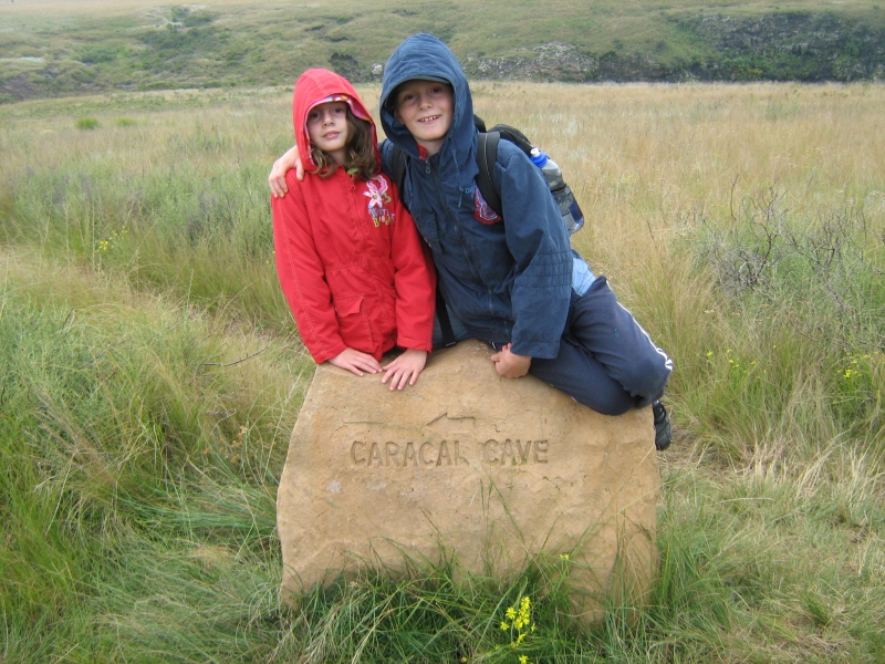
You then head down the hill towards Caracal Cave (have a look at the picture above - this is about 4km into the hike, you have 1.2km's to go). At the bottom of the hill the path goes above the cave and slightly past, you then turn left and go down to the cave on your left. Return via the same route.
| Track length: | 5.28 km |
| Total ascent: | 55 m |
| Total descent: | 177 m |