
Fairy Glen Hike
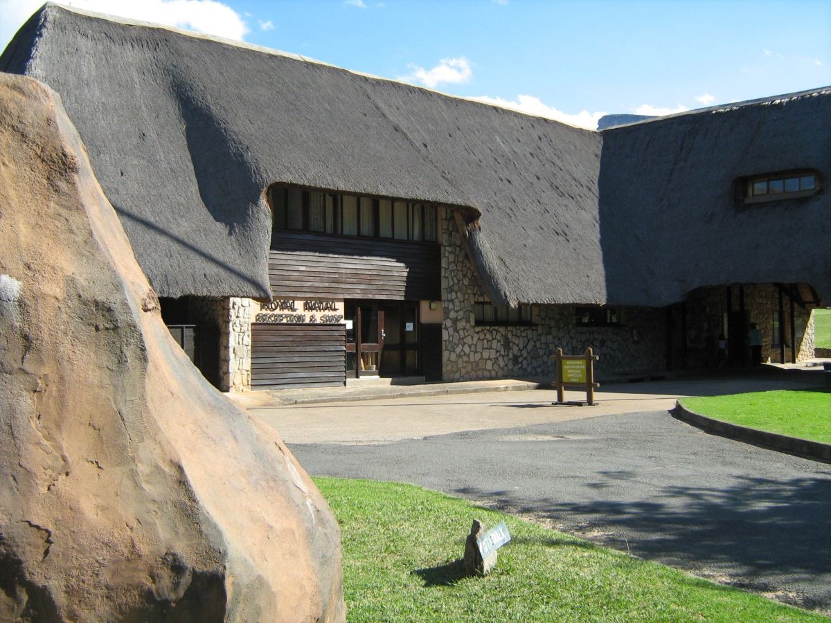
An easy 2.2km in total hike from the day parking area in Royal Natal. The path is uphill and then through the bush to the waterfall.
Region
Area
Location (Degrees)
28°41'00.0"S 28°57'00.0"E
Location (Decimal)
-28.683344, 28.950003
Type of Hike
Day Hike
Hike Grade
Hike Distance (Km's to destination)
1.1
Total Hike Distance (Km's)
2.2
Hike Duration (to destination)
0.5
Hike Duration (return)
0.5
Total Hike Duration (Hrs)
1.0
Explore
Waterfalls or Pools
Altitude
1,467
Tracks
| distance | duration | avg. speed | trackpoints | trackpt. distance |
|---|---|---|---|---|
| 1.1 km | n/a | n/a km/h | 120 | 9.52 m |
| altitude range | lowest point | highest point | uphill | downhill |
|---|---|---|---|---|
| 64 m | 1411 m | 1475 m | 65 m | 26 m |