Giant's Castle Main Cave & River Walk
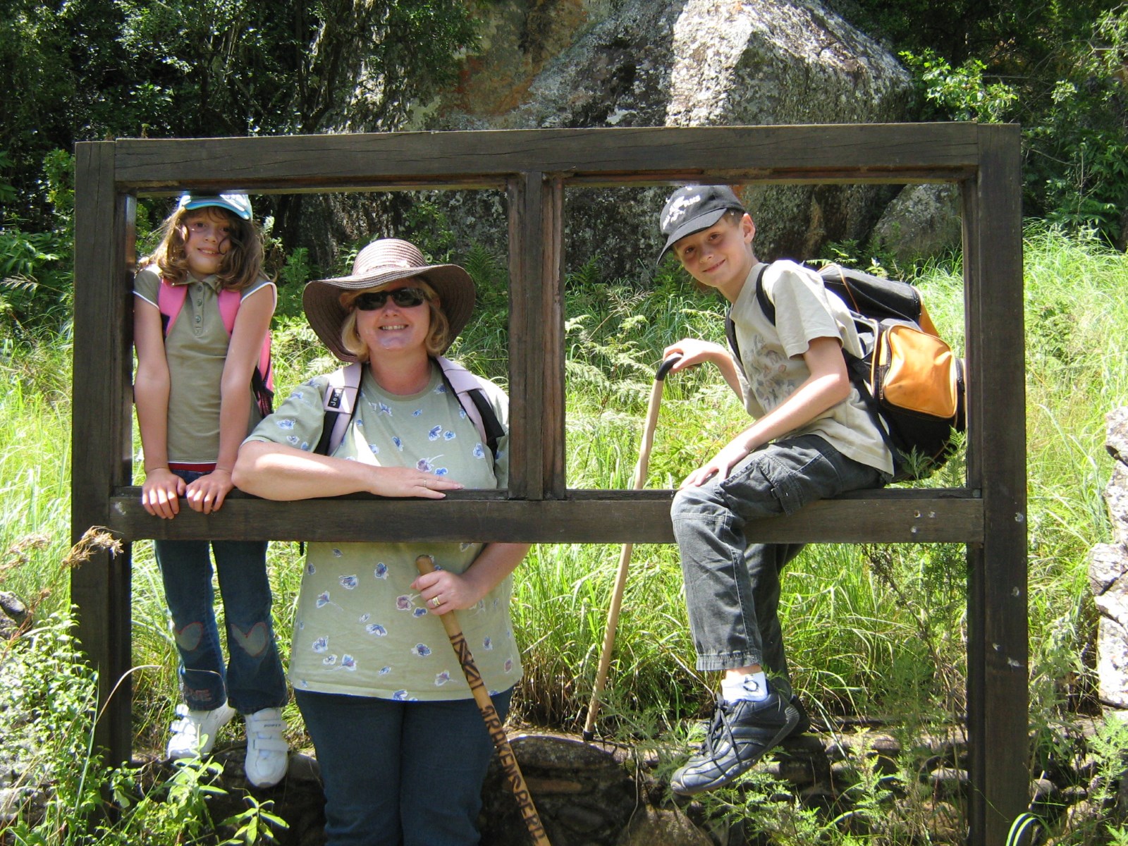


A hike to the main caves to see Bushman Paintings and then along the Bushman's river for a picnic. The circular route is 5.3km's and can be made shorter if required.
A great day out for all ages.
Listing Details
Area
Location (Degrees)
29°16'12.29"S,29°31'11.87"E
Location (Decimal)
-29.270074,29.519973
Type of Hike
Day Hike
Hike Grade
Total Hike Distance (Km's)
5.3
Total Hike Duration (Hrs)
3.0
Explore
Caves, Waterfalls or Pools
Altitude
1,747
Tracks
GPS Track Details
| Track length: | 5.30 km |
| Total ascent: | 132 m |
| Total descent: | 132 m |
Map
Reviews (1)
 by
Elize de Vries
by
Elize de Vries
Bishmans cave, river walk circular route
We did the hike on 25 May 2024. On the way there via the main caves hike we had a pleasant walk. Fairly easy but with some steep climbing up towards the caves. Please remeber to take a day pack with some snacks for energy an sufficient water. Shade is scarce on this walk, so take a hat. Coming back we took the riverview hike. This is an excellent and very scenic route as you make your way back walking directly next to the river in the valley. Fairly easy walk but it has a steep climb back to the camp. All in all we had a beautiful and peaceful hike. Enjoy yours!