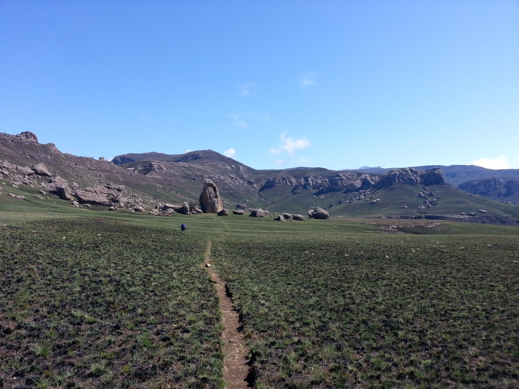
Giant's Cup Trail Hike Popular


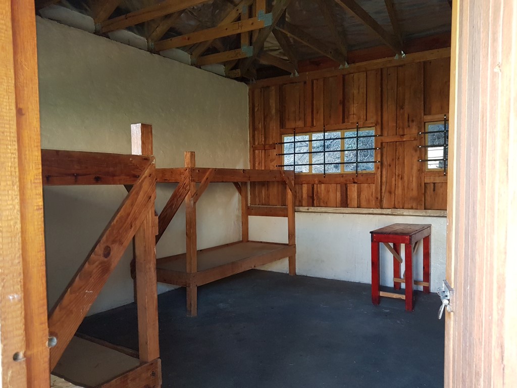

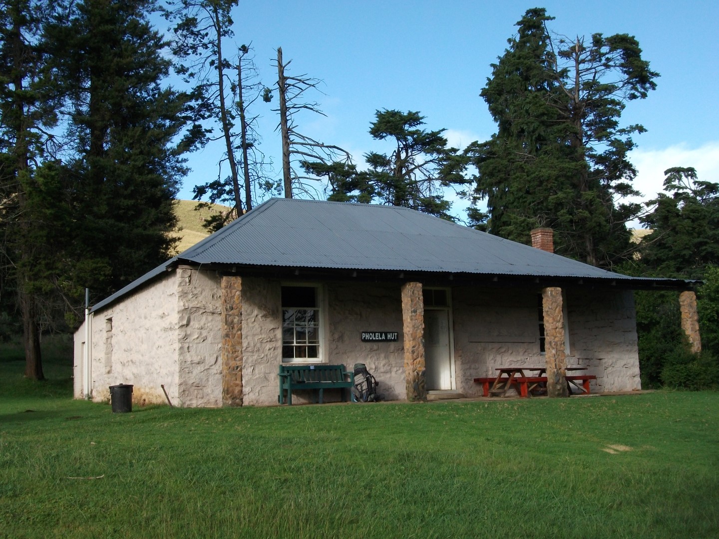


The Giants Cup trail is the only established trail in the Drakensberg. The hike is over 5 days (and 5 nights accommodation in the Drakensberg) and is 58.9km's in total. The first day is 12.8 km's and you stay in Pholela Hut. Day two is 8.8 km's and you stay in Mzimkhulwana Hut. Day 3 is 12 km's and you stay in Winterhoek Hut. Day 4 is 11.8 km's and you stay in Swiman Hut. The final day is 12.3 km's and you stay in Bushman's Nek Hut. The next morning 1.2km to the Bushman's Nek car park.
Over the 5 days the total elevation gain is 2031m and total elevation loss is 1912m. The hike is rated difficult as its over 5 days, each day itself is rated moderate.
Listing Details
Start: 29°37'48.5"S 29°24'41.9"E | End: 29°50'9.30"S,29°12'26.30"E
Start: -29.630144, 29.411628 | End: -29.835917,29.207308
| Track length: | 59.01 km |
| Total ascent: | 1839 m |
| Total descent: | 1722 m |
 by
Mew
by
Mew
by
Jocelyn