Meander Hut Hike


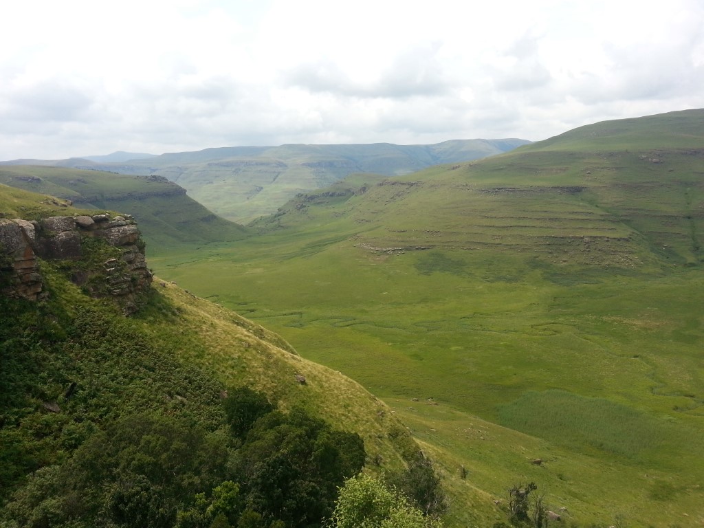


A relatively easy day hike for the family (probably 8 and above). A steep hill on the way to the hut but almost all downhill after. The views from the hut looking back towards Highmoor and into the valley below are worthwhile.
Meader Hut has been rebuilt.
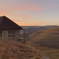
The second image in the gallery shows what the hut once looked like. The hut has been repaired to its former glory. It is a wonderful place to sleep over for the night, the sunrise in the morning into the valley is stunning.
Listing Details
Area
Location (Degrees)
29°16'45.79"S,29°30'32.92"E
Location (Decimal)
-29.279388,29.509145
Hike Grade
Total Hike Distance (Km's)
11.3
Hike Duration (return)
2.0
Total Hike Duration (Hrs)
4.5
Explore
Caves, Huts
Altitude
1,830
Hut Name
Tracks
GPS Track Details
| Track length: | 11.31 km |
| Total ascent: | 382 m |
| Total descent: | 382 m |
Map
Reviews (0)