Mzimkulwana Hut Hike


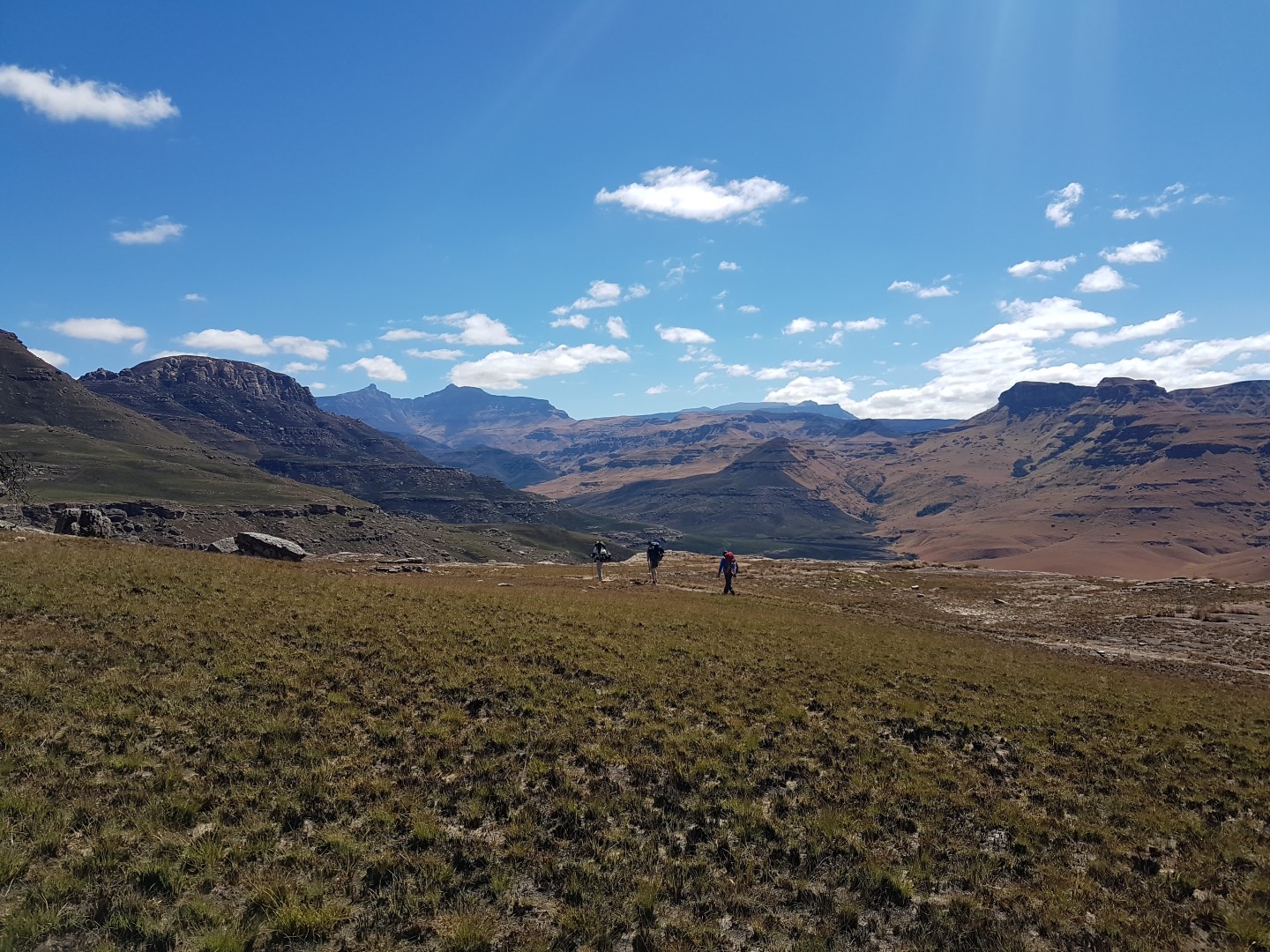


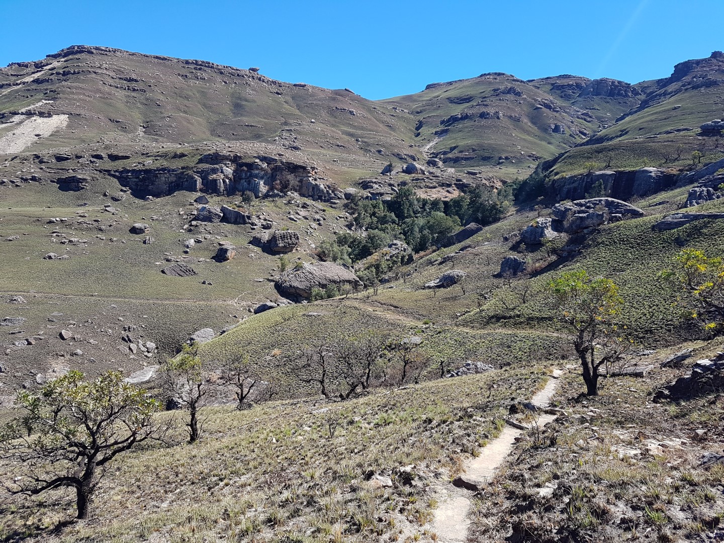


This is day 2 of the Giants Cup Trail hike. Its an easy hike of 8.6km to Mzimkulwana Hut. On the way you pass Bath Plug Cave which is a good spot for lunch.
The Hut can be quite cold as in a valley near a river so do take some warm clothes along also.
Listing Details
Area
Location (Degrees)
29°42'23.77"S, 29°21'22.15"E
Location (Decimal)
-29.706604,29.356154
Type of Hike
Day Hike, Overnight
Hike Grade
Total Hike Distance (Km's)
17.2
Hike Duration (return)
3.5
Total Hike Duration (Hrs)
7.0
Explore
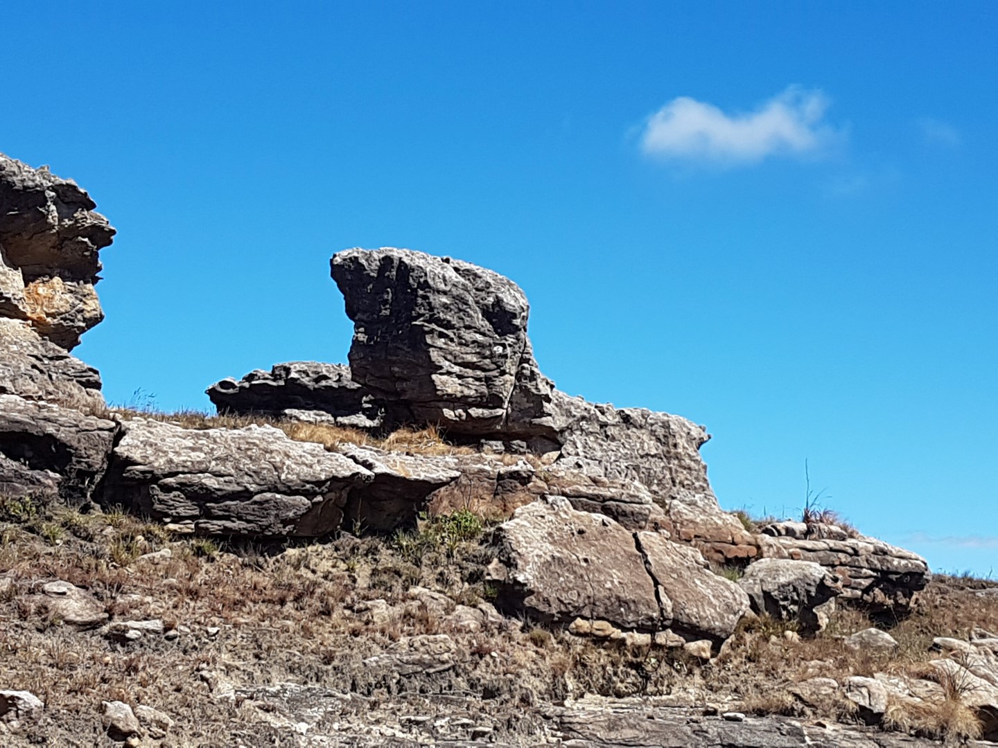
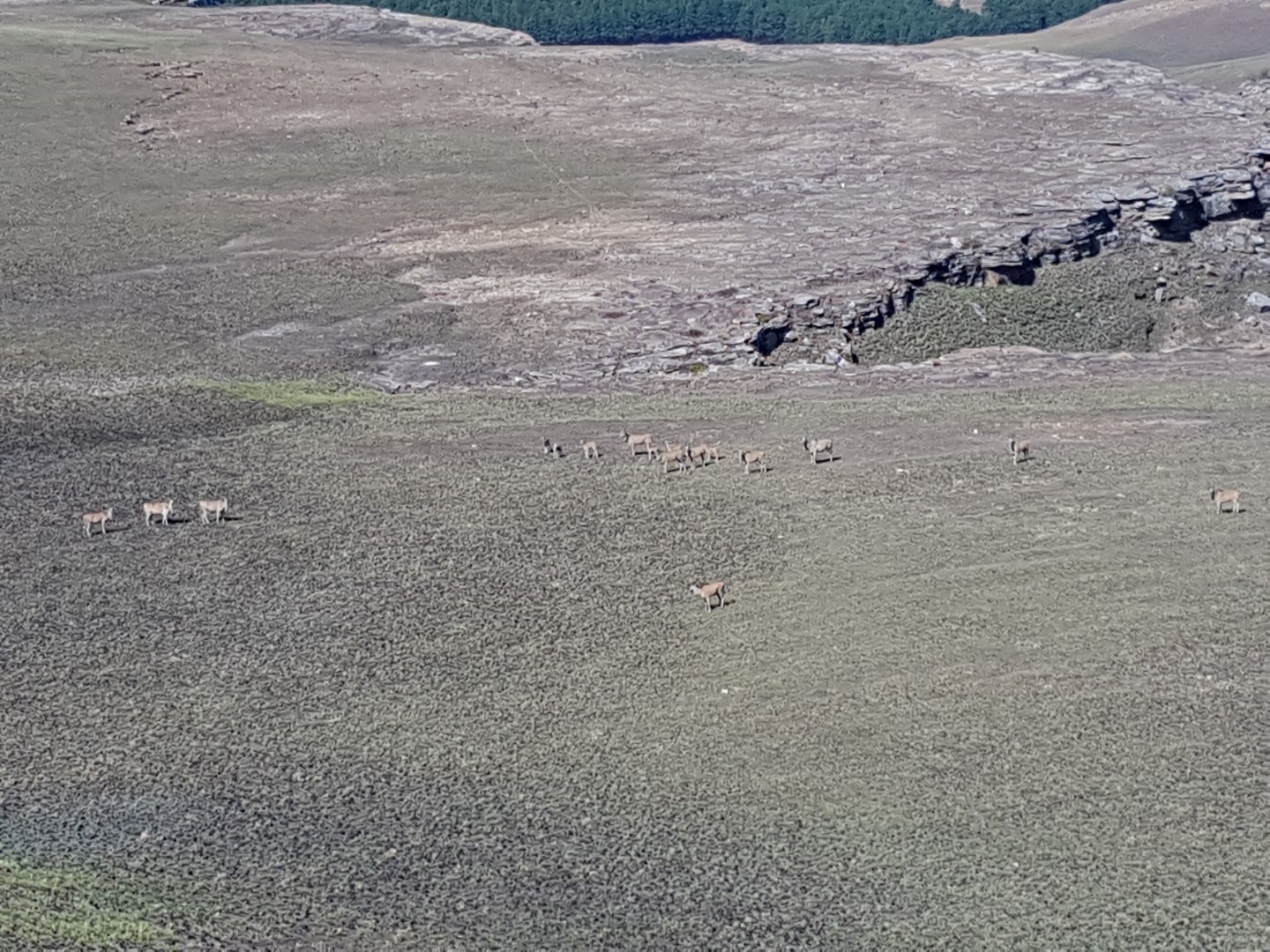
Bushman Paintings, Caves, Huts, Landmarks, Waterfalls or Pools, Vistas
Altitude
1,642
Hut Name
Max Number in Hut
30
Tags
Directions
Day 1: From Cobham (North is Ndlovini Peak and to the right is Grandma Peak then Emerald Dome)
Cobham Parking Lot –> Allens Shelter (1km) -> Tortise Rocks (2.8km – 225m up) -> Bathplug Cave (4km) -> Mzimkhylwana Hut (8.64km)
From Hut
- South is Bamboo Mountain (4km)
- West is Little Bamboo Mountain (4.5km)
- River below hut is Mzimkhulwana River
- River above hut is Siphongweni River
- North / North South is eSiphongweni Peak which has Mpongweni Shelters and Siphongweni Cave (2.6km)
- North / North West The Pimple Mountain (1.3km)
- Behind The Pimple is Amakehla Pass (11km)
Tracks
GPS Track Details
| Track length: | 8.63 km |
| Total ascent: | 252 m |
| Total descent: | 255 m |
Map
Reviews (0)