Mzimkulwana Hut to Lakes Cave


A 9.2km hike mostly uphill with a detour to Siphongweni Cave, the highlight of any trip to Cobham. The bushman paintings 100m from the Cave are some of the best you will ever see in the Drakensberg.
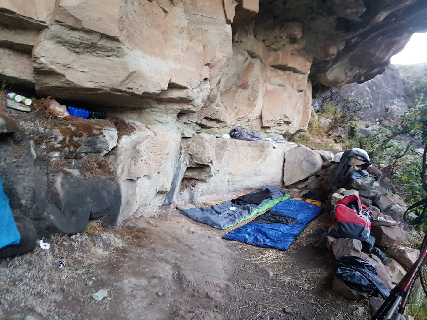
After Siphongweni Cave you pass The Policeman, an often photographed feature of the Drakensberg. Lakes cave offers good shelter from the elements and the views down the valley and from the ridge above the cave are brilliant.
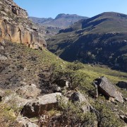
Pictured is Camels Hump as seen from Lakes Cave.
Listing Details
Area
Location (Degrees)
29°39'47.7"S 29°18'53.5"E
Location (Decimal)
-29.663250, 29.314850
Cave Name
Max Number in Cave
6
Type of Hike
Day Hike, Overnight
Hike Grade
Total Hike Distance (Km's)
18.4
Hike Duration (return)
4.0
Total Hike Duration (Hrs)
5.0
Explore
Bushman Paintings, Caves, Huts, Landmarks, Vistas
Altitude
2,126
Hut Name
Max Number in Hut
30
Tags
Directions
Mzimkhylwana Hut -> Hike till level with The Pimple, then cross river up hill to Siphongweni Cave (3.5km – 350m up) -> Whale Back (5.4km) -> Titty (6.6km) -> The Policeman (7.6km) -> Lakes Cave (9.3km)
From Cave
- East is Camel Rock (850m)
- North West is Amakehla Pass (3.5 km) / Left is Minaret Pass (North view)
- Peaks North (NNE) is Hodgsons Peak South and North
- 3rd peak to the right is Sani Peak
- Left of Minaret Pass is The Block, Sandleni Pinnacle, No Mans Peak, Verkyker Buttress and Peak and Rhino Peak
- SW below is Weavers Cave (1.89km)
Tracks
GPS Track Details
| Track length: | 9.27 km |
| Total ascent: | 622 m |
| Total descent: | 145 m |
Map
Reviews (0)