Thamathu Cave & Lammergeier Cave Hike


 A circular 3 day hike in the Bushman's Nek area. Day 1 is a moderately severe 4-5 hrs hike (10 km's) This hike follows a well-defined path on the northern flank of the Thomathu Ridge. The cave faces north-east and sleeps up to 12 people. The cave is not very deep though and strong winds can be a problem.
Day 2 hike to the top to Thomathu pass, then to Goats cave for lunch and then downhill to Lammergeier cave for the 2nd night. Day 3 hike down towards Cedric's pools and return to the car park.
If you are looking to spend a few days hiking in the Drakensberg and want to do it at your own pace giving you time to actually stop and enjoy the scenery and people you are with then this is a highly recommended hike option.
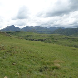
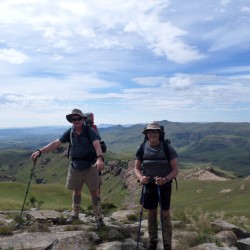
Day 1: Bushman's Nek Camp to Thamathu Cave (6.93km - 636m elevation gain)
Day 1 starts at the Bushman's Nek Office, where you fill in the mountain register. You pass the South African border post and then cross the stream twice and turn right (if you go straight you are heading towards Tarn Cave and would cross the stream a third time) thus walking with Bushman's River on your right. To your right on the other side of the river you will see Bushman's Nek Hut as you walk along a slightly upward path.
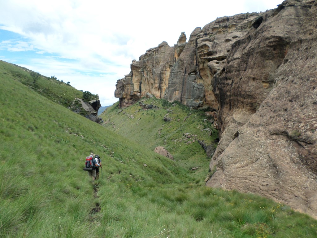
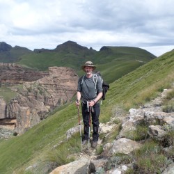
After 300m where you turned right after the 2nd river crossing the path has 2 options, straight ahead which takes you to Bushman's Cave and left up the hill in front of you, this is your route, turn left and start up the hill. After climbing the 1st hill the path flattens out for a short breather, then up the next hill. The path is visible all the way as you wind up this hill on the left hand side. At the top you have now done 3.2km, the views start to show themselves all around you.
A nice flat section is next and then up the next hill. You are heading in a West / North West direction all the way from here until just before Thamathu cave. The gradient over this next hill is pretty similar to what you have already climbed. At 5.8km (you only have 1.1km's to go) the path again has two options, a short steep uphill (this path is not well defined) of about 150m uphill or to continue straight along the contours of the hill you are on. Both will get you to Thamathu cave.
Choosing to go left and up the hill now means that after this uphill the rest of the hike to the cave is along the contour path. Choosing to go straight at this point seems easier but your last 300m will then be uphill to the cave. The choice is yours.
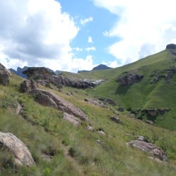
Day 2: Thamathu Cave to Lammergeier Cave via Thamathu pass (7km - 238m elevation gain to top of pass)
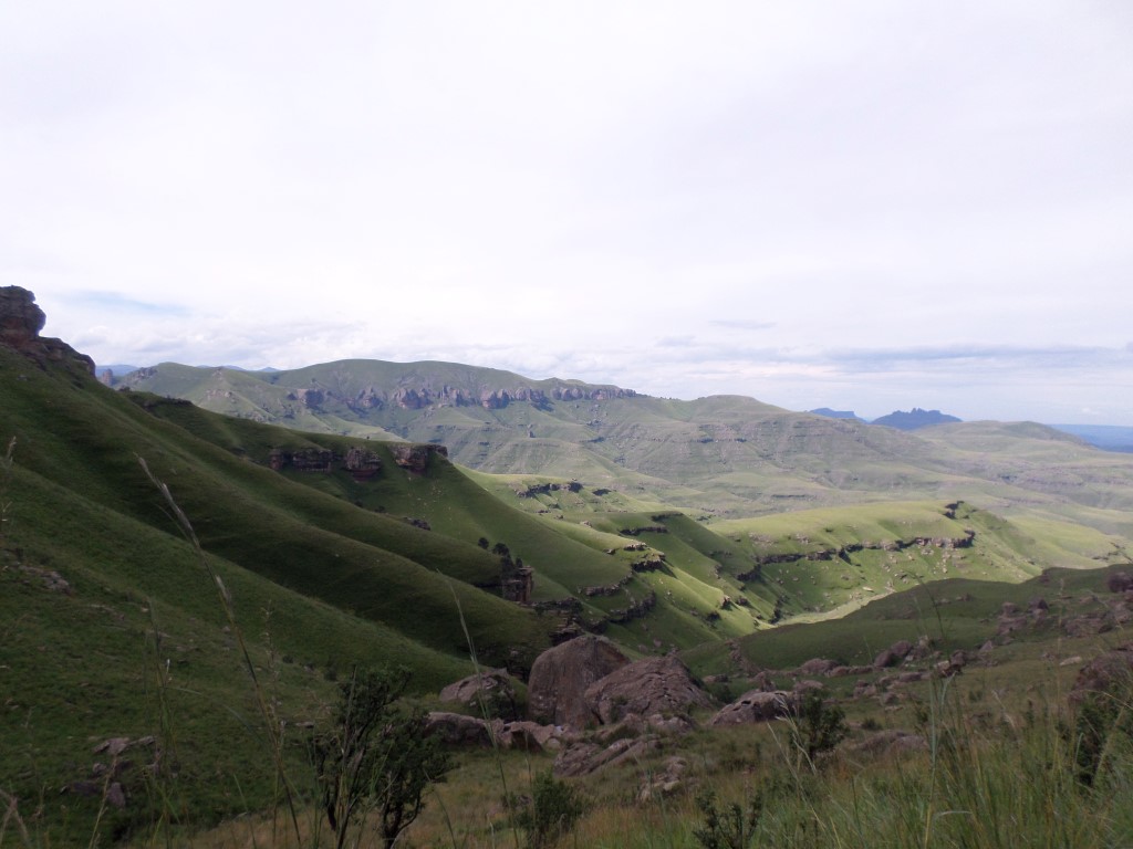
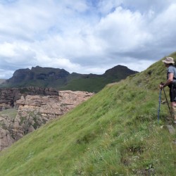
Your hike starts heading up the hill on your left looking from the cave (North West). After this first hill you gently climb for 3km to the top of Thamathu pass. The views are stunning and an a clear day you will see far into Lesotho.
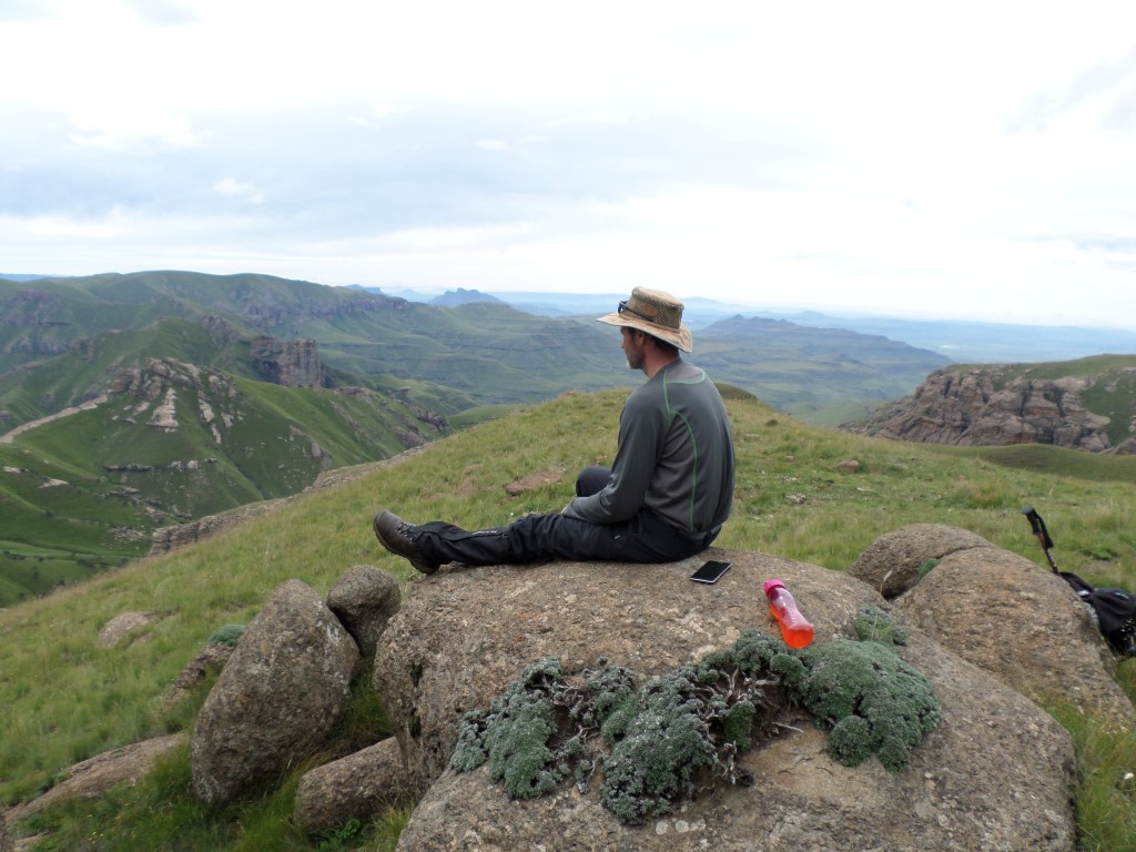
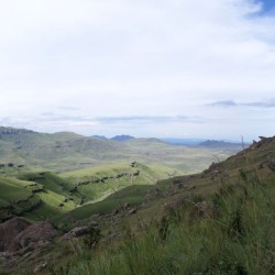
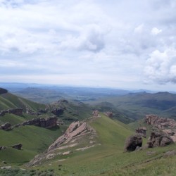
Returning back on this path about 300m you turn right (South West) and will see a contour path along the slope which will take you to Goats Cave, about 900 meters away. There are a couple goat paths above the proper path to Goats Cave. Once reaching Goats Cave lunch with stunning views is a good option. Next to you at Goats Cave is the top of Lammergeier Pass and looking West is Devils Knuckles. Looking in the same direction in the distance you may notice buildings on the flats after the valley, this is Sehlabathebe Lodge in Lesotho.
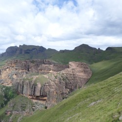
From Goats Cave its 1.1km's to Lammergeier Cave all downhill (220m elevation loss). Your route is South East into the small valley below Goats Cave. The path initially visible stops and only starts again just before the Cave. Along the way you will pass Surprise Cave (a small cave not great for sleeping in) on your right and a further 300m along is Lammergeier Cave on your right. This is a stunning cave to spend the night in.
Day 3: Lammergeier Cave to Bushman's Nek Camp (9.58km and an elevation loss of 687m)
Your hike starts downhill from the cave in the valley (North East). A while later the path seems to disappear, continue along the side of the hill and soon you will see a large flat with a large pool of water (usually full of water). Continue towards this and slightly to the left of the water after passing it. When getting to the edge of the hill look around and you will see the path again leading you down this hill. The path does disappear every now and then when in the gully section down the hill. You will see a stream crossing lower down, thus knowing you are heading in the right direction.
Just after the stream crossing is Mystery Shelter (on your left). After 2km heading down the valley you will cross the Ngwangwane River and are almost at Cedric's Pool. The pool is a couple meters below the path level, walk down the path to the pool. This is a good place to cool off and relax.
After Cedric's Pool its a flat 4.5 km's to Bushman's Nek camp heading in as Easterly direction.
| distance | duration | avg. speed | trackpoints | trackpt. distance |
|---|---|---|---|---|
| 20.3 km | n/a | n/a km/h | 847 | 23.92 m |
| altitude range | lowest point | highest point | uphill | downhill |
|---|---|---|---|---|
| 864 m | 1755 m | 2619 m | 896 m | 891 m |