Thamathu Pass Hike


Thamathu is a long pass up from Bushman's Nek up the ridge to the top of the escarpment. It is a relatively easy pass. The views on the way up and at the top are lovely.
Along the way you pass Thamathu Cave, a good place to have a rest and take in the views before doing the final 3 km's.
Listing Details
29°49'14.4"S 29°07'58.9"E
-29.820667, 29.133017
Bushman's Nek Camp to Thamathu Pass (9.3km - 807m elevation gain)
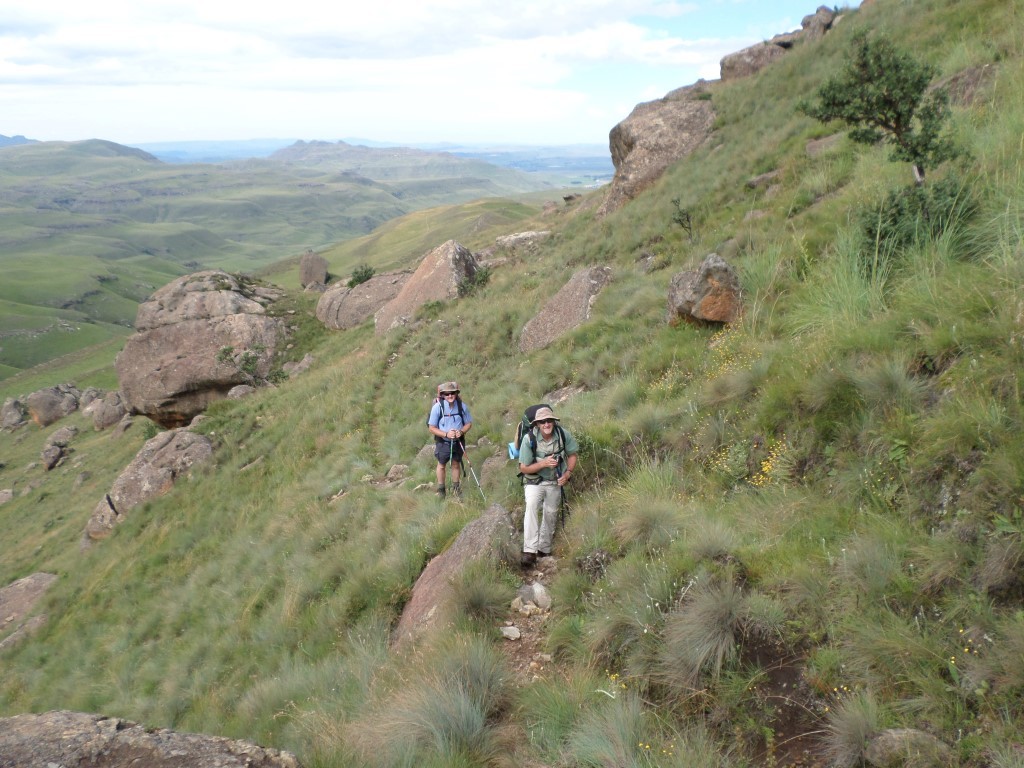
Start at the Bushman's Nek Office, where you fill in the mountain register. You pass the South African border post and then cross the stream twice and turn right (if you go straight you are heading towards Tarn Cave and would cross the stream a third time) thus walking with Bushman's River on your right. To your right on the other side of the river you will see Bushman's Nek Hut as you walk along a slightly upward path.
After 300m where you turned right after the 2nd river crossing the path has 2 options, straight ahead which takes you to Bushman's Cave and left up the hill in front of you, this is your route, turn left and start up the hill. After climbing the 1st hill the path flattens out for a short breather, then up the next hill. The path is visible all the way as you wind up this hill on the left hand side. At the top you have now done 3.2km, the views start to show themselves all around you.
A nice flat section is next and then up the next hill. You are heading in a West / North West direction all the way from here until just before Thamathu cave. The gradient over this next hill is pretty similar to what you have already climbed. At 5.8km (you only have 1.1km's to go) the path again has two options, a short steep uphill (this path is not well defined) of about 150m uphill or to continue straight along the contours of the hill you are on. Both will get you to Thamathu cave.
Choosing to go left and up the hill now means that after this uphill the rest of the hike to the cave is along the contour path. Choosing to go straight at this point seems easier but your last 300m will then be uphill to the cave. The choice is yours.
After the cave head up the hill on your left looking from the cave (North West). After this first hill you gently climb for 3km to the top of Thamathu pass. The views are stunning and an a clear day you will see far into Lesotho.
| Track length: | 9.29 km |
| Total ascent: | 811 m |
| Total descent: | 26 m |