Drakensberg GPS Tracks & Trail Running FKTs Leaderboard

Most Popular Tracks

#
Title
Category
1
Mnweni Marathon Drakensberg Trail Running
2
Drakensberg Grand Traverse FKT Drakensberg Trail Running
3
Mafadi / Ntheledi Peak Trail Run FKT Drakensberg Trail Running
4
Cathedral Peak Trail Run FKT Drakensberg Trail Running
5
Fern Forest and Blue Grotto Loop Trail Run FKT Drakensberg Trail Running

Most Downloaded Tracks

#
Title
Category
1
Mnweni Marathon Drakensberg Trail Running
2
Drakensberg Grand Traverse FKT Drakensberg Trail Running
3
Mafadi / Ntheledi Peak Trail Run FKT Drakensberg Trail Running
4
Cathedral Peak Trail Run FKT Drakensberg Trail Running
5
Rhino Peak Trail Run FKT Drakensberg Trail Running

Latest Tracks

#
Title
Category
1
Thabana Ntlenyana Peak Trail Run FKT Drakensberg Trail Running
2
Champagne Castle Peak Trail Run FKT Drakensberg Trail Running
3
Mont-Aux-Sources Peak Trail Run FKT (from Sentinal Car Park) Drakensberg Trail Running
4
Namahadi Peak Trail Run FKT Drakensberg Trail Running
5
Mafadi / Ntheledi Peak Trail Run FKT Drakensberg Trail Running

Thabana Ntlenyana Peak Trail Run FKT

Fastest Known Times (KFT):

1.Unknown

thabana ntlenyana
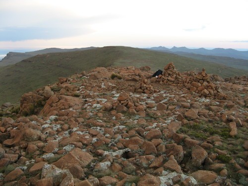
Thabana Ntlenyana, which literally means "Beautiful little mountain" in Sotho language, is the highest point in Lesotho and the highest mountain in Southern Africa. The track is from the border post at Sani Top.


Like it on Facebook, Tweet it or share this track on other bookmarking websites.


Min Elevation
2783 m
Total Distance
34.49 km
Max Elevation
3475 m
Total Time
4h 03m 35s
Total Elevation Gain
1169 m
Way Points
0
Total Elevation Loss
1169 m
Track Points
594
Max Speed
10.08 km/hr
Route Points
0
Average Speed
8.49 km/hr
Values not available in the file may shown as 0.

This track was downloaded 81 time(s).

google
300px
http://{s}.tile.openstreetmap.org/{z}/{x}/{y}.png
© OpenStreetMap contributors
Distance: {0} {2} Elevation: {1}
Distance: {0} {2} Speed: {1}
Distance: {0} {2} Heart Rate: {1}
Distance: {0} {2} Cadence: {1}
https://drakensberghikes.com/media/com_gpstools/markers/02marker.png
https://drakensberghikes.com/media/com_gpstools/markers/default.png
#0000FF
#0000FF,#c1392b,#ffbe00,#2d3e50,#27ae61,#74065f,#2998d8
0
3
50
google.maps.MapTypeId.HYBRID
1
1
1
1
1
1
1
google.maps.ZoomControlStyle.DEFAULT
google.maps.MapTypeControlStyle.DEFAULT
Distance
Elevation
Speed
Heart Rate
km
kmph
m
km
Miles
m
ft
mile/hr
ft/sec
km/hr
m/s
/index.php?option=com_gpstools&task=rating.rate&id=27&format=json

We use cookies on our website. Some of them are essential for the operation of the site, while others help us to improve this site and the user experience (tracking cookies). You can decide for yourself whether you want to allow cookies or not. Please note that if you reject them, you may not be able to use all the functionalities of the site.