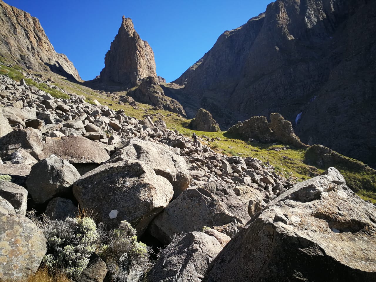
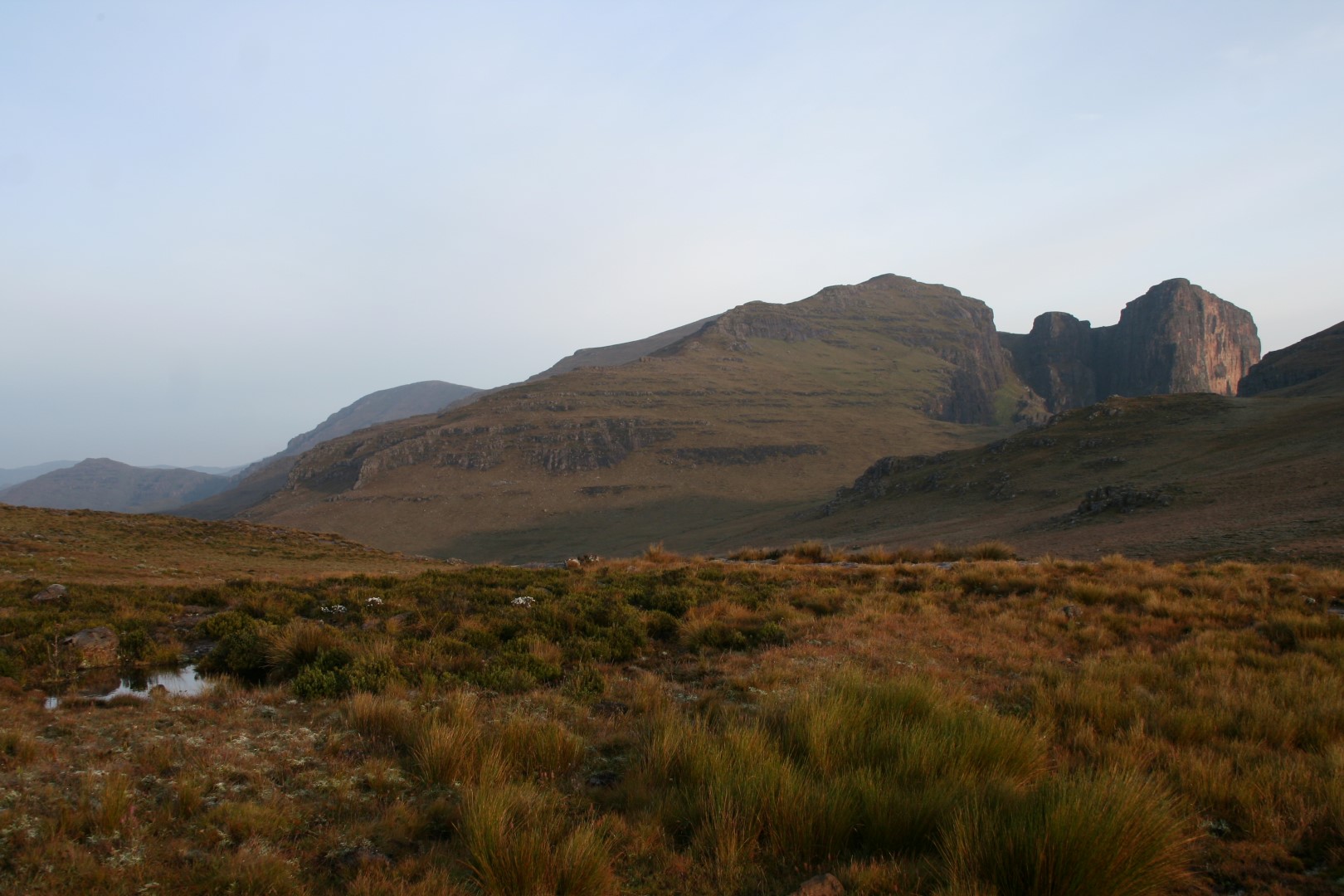
Ship's Prow South Pass is a long, steep mountain route. The North Fork is a different route with loose rock and rockfall hazards; identify the correct fork when planning your outing.
The recorded top-out altitude is 3292m. Allow for a strenuous ascent or descent, with sections where there may be no clear path.
Share your experience through our contact form. Include this listing’s name or page URL and the name you would like displayed. Reviews are checked before publication.
We use cookies and similar technologies to improve your experience on our website.
Read our Privacy Policy.