Gxalingenwa Cave via Pholela Shelter


12.5 kms (5 hours) via Pholela Hut and an elevation gain of 530m.
The hike via Pholela Cave follows day 1 of the giants cup trail in reverse for the first 7.25km's and then you turn left (continue straight) and follow Gxalingenwa River up the valley.
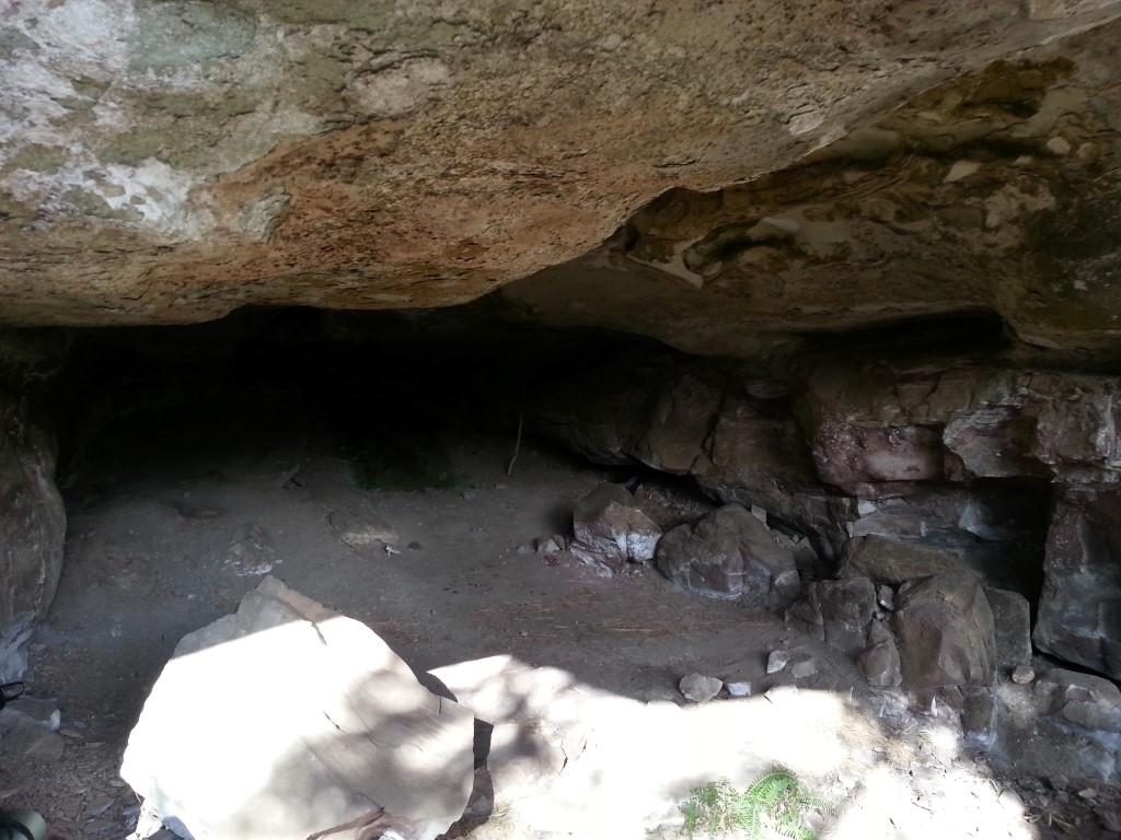
The cave is a real cave with great views into the valley. It's worth staying overnight and making a weekend out of your hike.
Listing Details
Area
Location (Degrees)
29°38'09.4"S 29°21'44.2"E
Location (Decimal)
-29.635933, 29.362283
Cave Name
Max Number in Cave
10
Type of Hike
Day Hike, Overnight
Hike Grade
Total Hike Distance (Km's)
25.0
Hike Duration (return)
4.5
Total Hike Duration (Hrs)
9.5
Explore
Caves, Vistas
Altitude
2,072
Tags
Tracks
GPS Track Details
| Track length: | 12.53 km |
| Total ascent: | 629 m |
| Total descent: | 198 m |
Map
Reviews (0)