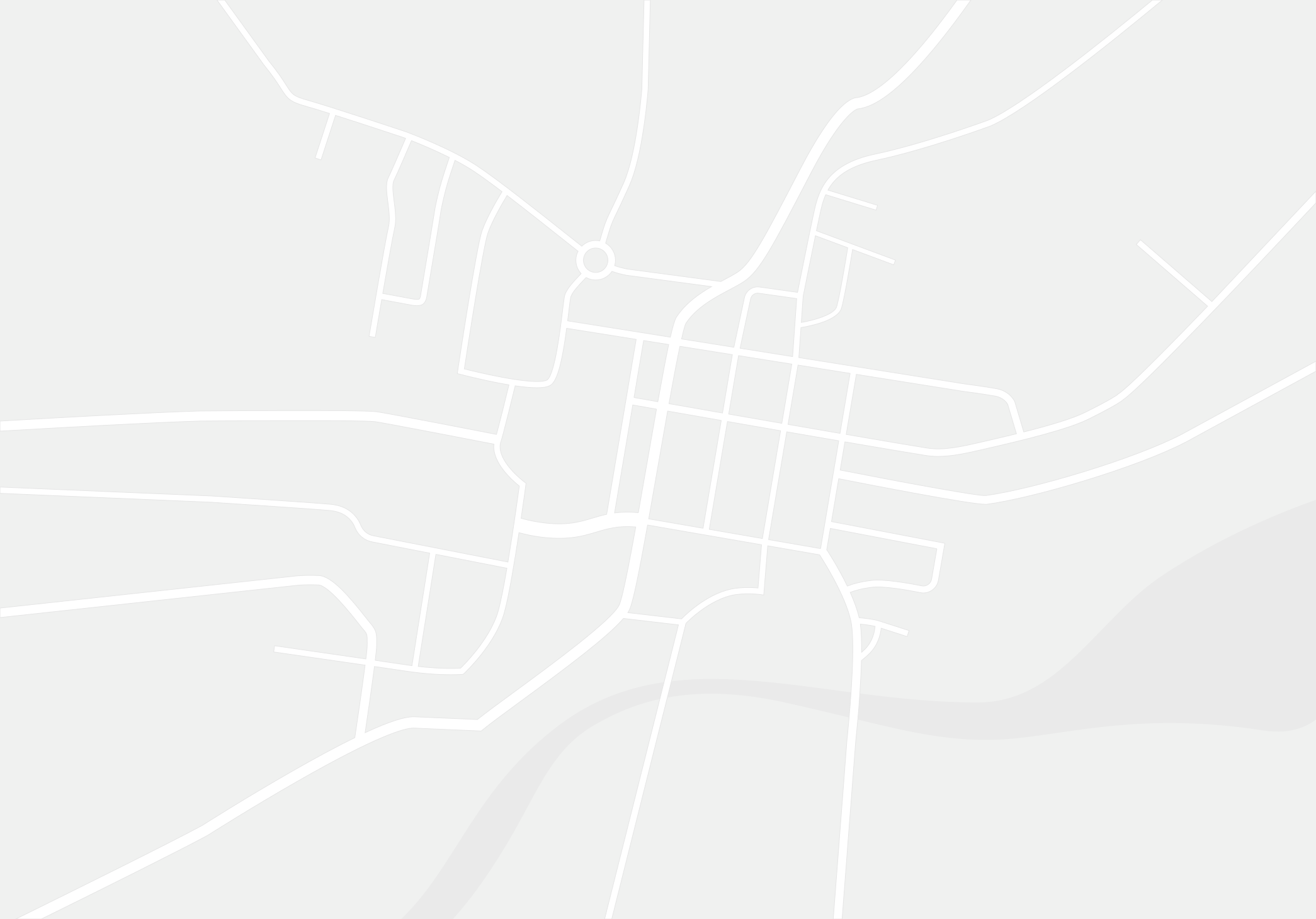
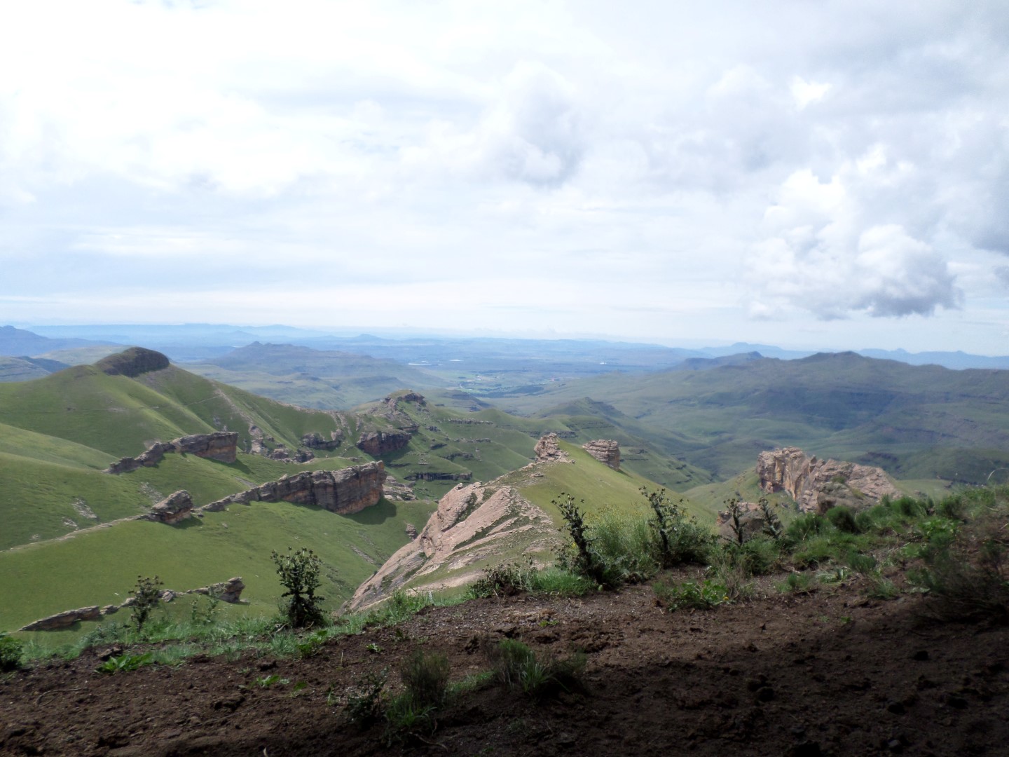
From Bushman’s Nek camp, this very strenuous 10.6 km hike gains 859 meters. There is no path in places, so navigation skills and a detailed map are essential. Allow for a demanding ascent and the return journey.
At the top of the pass you will see Goats Cave on your right.
Explore the Bushman’s Nek area: Read our Bushman’s Nek Nature Reserve guide for more walks, caves and mountain routes in this part of the southern Drakensberg.
GPS track
GPS Track Details
| Track length: |
10.65 km |
| Total ascent: |
870 m |
| Total descent: |
19 m |
The route starting at the Bushman's Nek Office where you fill in the mountain register passes the South African border post. You then cross the stream three times (a turn to the right after the second stream takes you towards Bushman's Cave.)
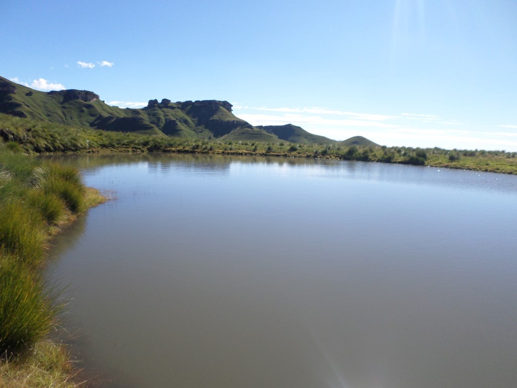
You follow the path with the Ngwangwane River on your right. At 4 km you cross the river and turn to your right, after 500m walking towards the river (on your right) you will find Cedric's Pool. The pool is a couple meters below the path level, walk down the path to the pool.
After Cedric's Pool follow the path for 500m to the right staying close to the Ngwangwane River on your right. You cross the river and walk up a small hill which then opens up into a new valley, at this point you follow the path heading North West. Walk 2km along the valley passing Vast Cave (about 1.2 km to your right) and then just past Mystery Shelter where you cross a stream.
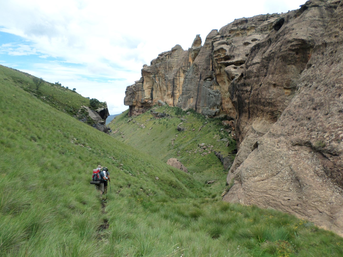
Head up the steep gully after crossing the stream (thus cross the stream and turn right), this is steep and no path will be seen just after starting up the gully. You are 7.6km into the hike at the stream, only 2 km to go, all uphill.
Walk about 500m uphill and then up a second hill for another 300m and you will be on a flat section (North West is your general direction). A large pool of water (usually full of water) will be ahead on the left. Walk past the water staying on the right of it and up into the valley ahead of you (slightly to your right). Walk up the hill taking you into the valley as it narrows and about 400m further along a path shows again and you are now only 200m from Lammergeier Cave which is on your left.
Continue up the hill, you will see Goats Cave at the top, only 1.1 km and 220m elevation to go. This section is very steep, the views and a welcome rest await you at the top of Lammergeier Pass.