
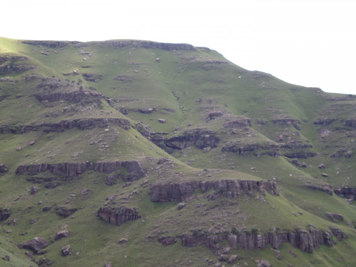
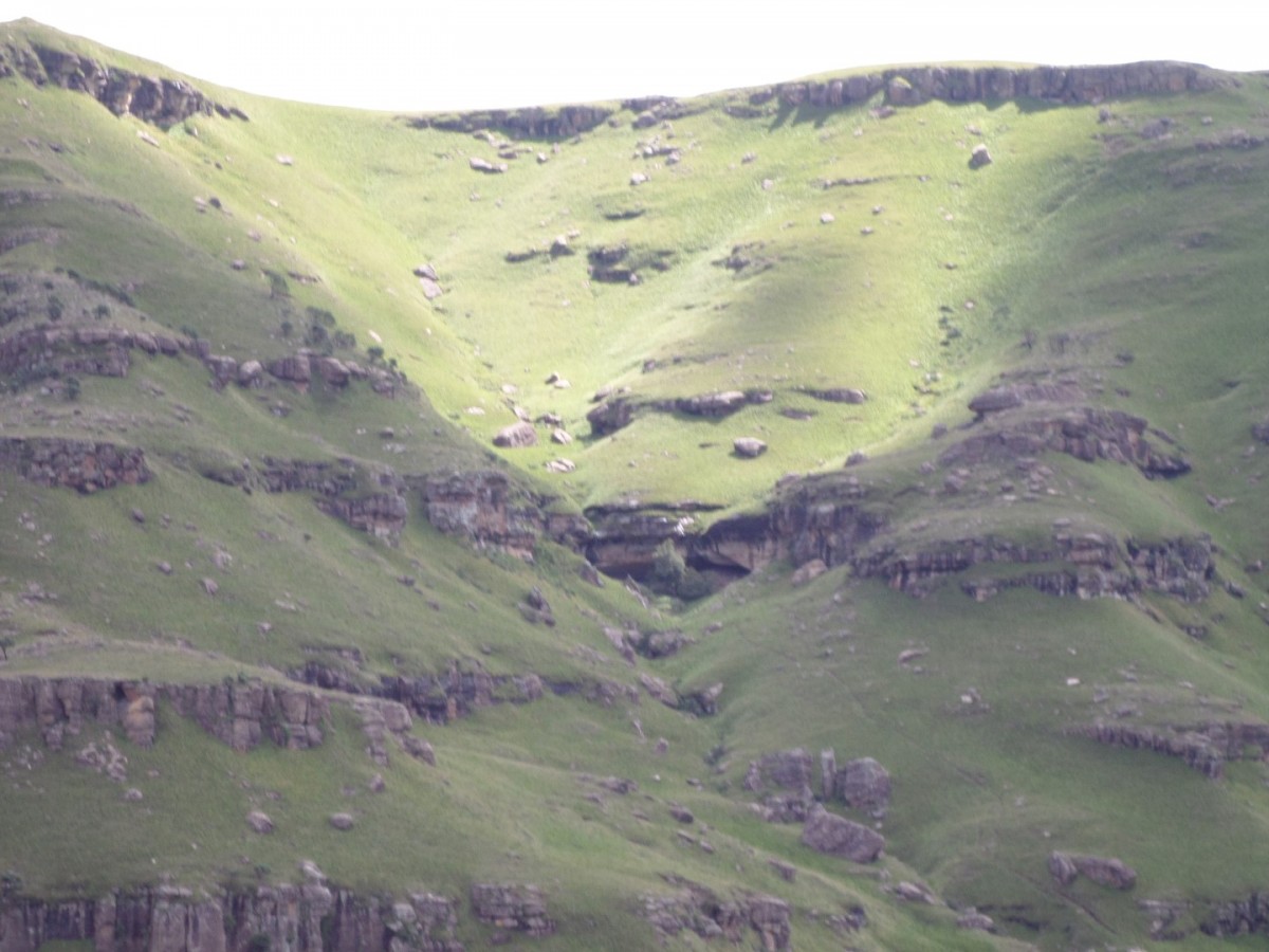
Vast Cave Hike


Region
Area
Location (Degrees)
29°50'37.6"S 29°09'57.2"E
Location (Decimal)
-29.843778, 29.165889
Cave Name
Max Number in Cave
12
Type of Hike
Day Hike, Overnight
Hike Grade
Hike Distance (Km's to destination)
6.0
Total Hike Distance (Km's)
12.0
Hike Duration (to destination)
3.0
Hike Duration (return)
3.0
Total Hike Duration (Hrs)
6.0
Explore
Caves, Waterfalls or Pools
Altitude
2,039
Tags
Tracks
| distance | duration | avg. speed | trackpoints | trackpt. distance |
|---|---|---|---|---|
| 6 km | n/a | n/a km/h | 304 | 19.76 m |
| altitude range | lowest point | highest point | uphill | downhill |
|---|---|---|---|---|
| 281 m | 1755 m | 2036 m | 271 m | 12 m |