Drakensberg GPS Tracks & Trail Running FKTs Leaderboard

Most Popular Tracks

#
Title
Category
1
Mnweni Marathon Drakensberg Trail Running
2
Mafadi / Ntheledi Peak Trail Run FKT Drakensberg Trail Running
3
Drakensberg Grand Traverse FKT Drakensberg Trail Running
4
Cathedral Peak Trail Run FKT Drakensberg Trail Running
5
Fern Forest and Blue Grotto Loop Trail Run FKT Drakensberg Trail Running

Most Downloaded Tracks

#
Title
Category
1
Mnweni Marathon Drakensberg Trail Running
2
Mafadi / Ntheledi Peak Trail Run FKT Drakensberg Trail Running
3
Drakensberg Grand Traverse FKT Drakensberg Trail Running
4
Cathedral Peak Trail Run FKT Drakensberg Trail Running
5
Rhino Peak Trail Run FKT Drakensberg Trail Running

Latest Tracks

#
Title
Category
1
Thabana Ntlenyana Peak Trail Run FKT Drakensberg Trail Running
2
Champagne Castle Peak Trail Run FKT Drakensberg Trail Running
3
Mont-Aux-Sources Peak Trail Run FKT (from Sentinal Car Park) Drakensberg Trail Running
4
Namahadi Peak Trail Run FKT Drakensberg Trail Running
5
Mafadi / Ntheledi Peak Trail Run FKT Drakensberg Trail Running

Mont-Aux-Sources Peak Trail Run FKT (from Sentinal Car Park)

Fastest Known Times (KFT):

1. Matt te Water: 2:27:42 on 6 September 2020
2.
3.
4.
5.

montauxsources
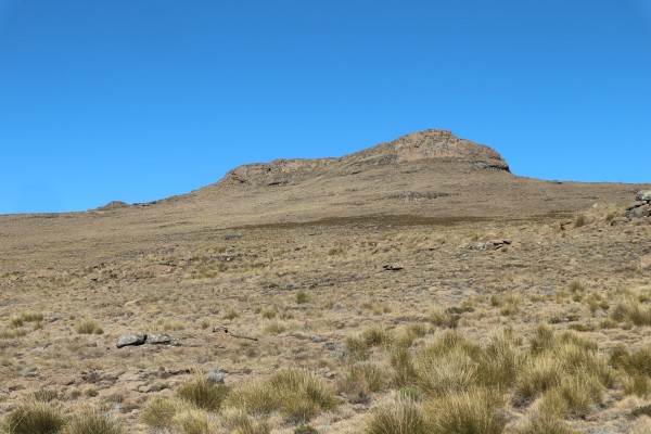
Mont-aux-sources is in the Free State and this trail run starts at the Sentinel Car Park near Witsieshoek and is via the chain ladders.


Like it on Facebook, Tweet it or share this track on other bookmarking websites.


Min Elevation
2542 m
Total Distance
14.54 km
Max Elevation
3261 m
Total Time
2h 25m 29s
Total Elevation Gain
1163 m
Way Points
0
Total Elevation Loss
1163 m
Track Points
642
Max Speed
8.64 km/hr
Route Points
0
Average Speed
6 km/hr
Values not available in the file may shown as 0.

This track was downloaded 57 time(s).

google
300px
http://{s}.tile.openstreetmap.org/{z}/{x}/{y}.png
© OpenStreetMap contributors
Distance: {0} {2} Elevation: {1}
Distance: {0} {2} Speed: {1}
Distance: {0} {2} Heart Rate: {1}
Distance: {0} {2} Cadence: {1}
https://drakensberghikes.com/media/com_gpstools/markers/02marker.png
https://drakensberghikes.com/media/com_gpstools/markers/default.png
#0000FF
#0000FF,#c1392b,#ffbe00,#2d3e50,#27ae61,#74065f,#2998d8
0
3
50
google.maps.MapTypeId.HYBRID
1
1
1
1
1
1
1
google.maps.ZoomControlStyle.DEFAULT
google.maps.MapTypeControlStyle.DEFAULT
Distance
Elevation
Speed
Heart Rate
km
kmph
m
km
Miles
m
ft
mile/hr
ft/sec
km/hr
m/s
/index.php?option=com_gpstools&task=rating.rate&id=23&format=json

We use cookies on our website. Some of them are essential for the operation of the site, while others help us to improve this site and the user experience (tracking cookies). You can decide for yourself whether you want to allow cookies or not. Please note that if you reject them, you may not be able to use all the functionalities of the site.