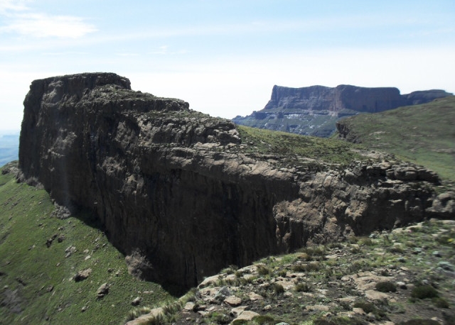
Katana peak is located in the Giants Castle area. It is considered a complicated climb especially when there is snow.
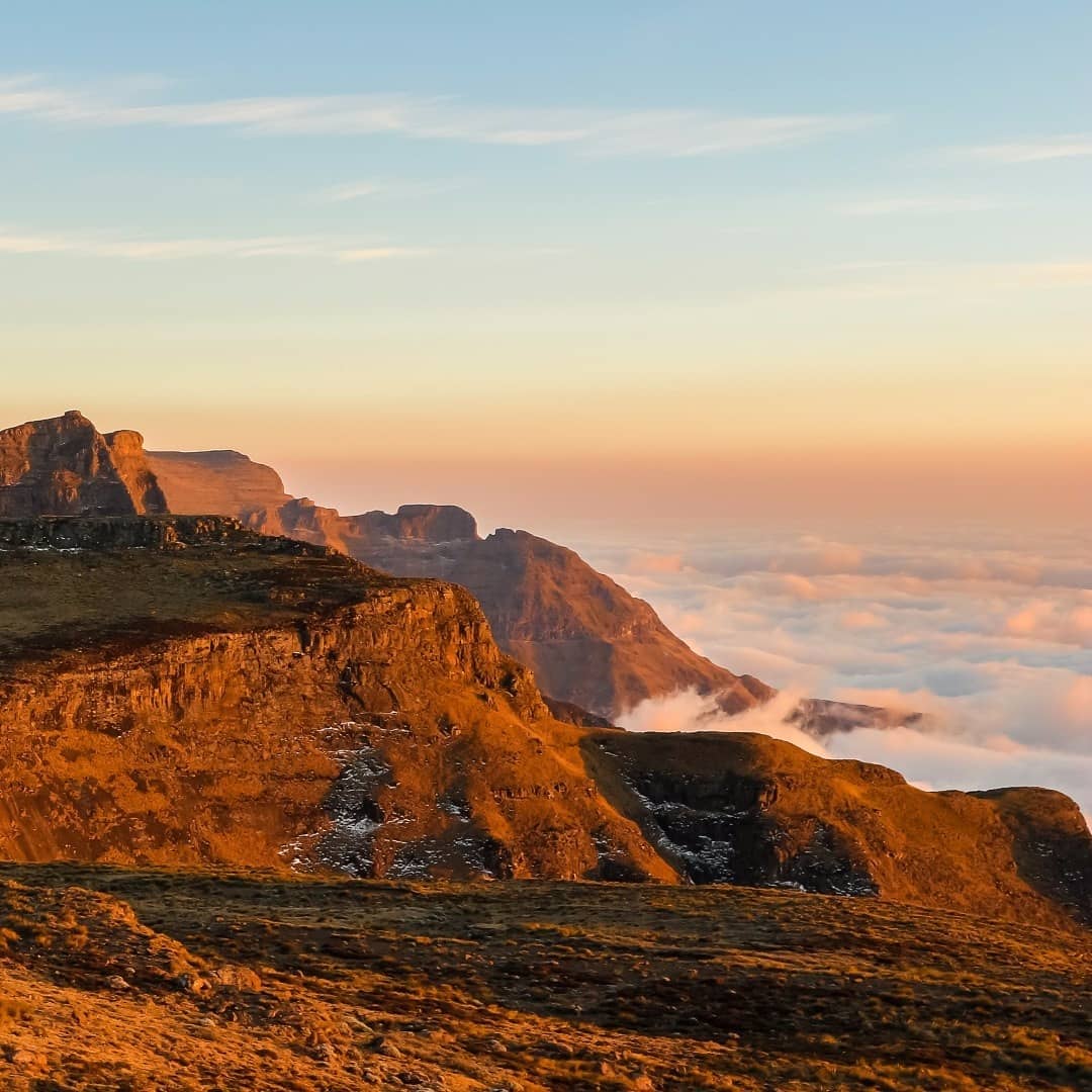
Image description: Looking North after the Long Wall towards Katana in front and the Thumb in the distance. A relatively easy three-hour hike from here to Langalibalele Pass after summiting Mount Durnford @ 3294m along the way.
Explore the Giants Castle area: The Giant’s Castle area combines the Bushman’s River valley with open grassland and the high escarpment. The reserve is known for its hiking, birdlife and San rock-art heritage. Read our Giant's Castle Nature Reserve guide for more about the area and planning a visit.
Location map
Katana
OpenStreetMap service required to load this map.
Photos
Visitor reviews
Share your experience through our contact form. Include this listing’s name or page URL and the name you would like displayed. Reviews are checked before publication.
We use cookies and similar technologies to improve your experience on our website.
Read our Privacy Policy.