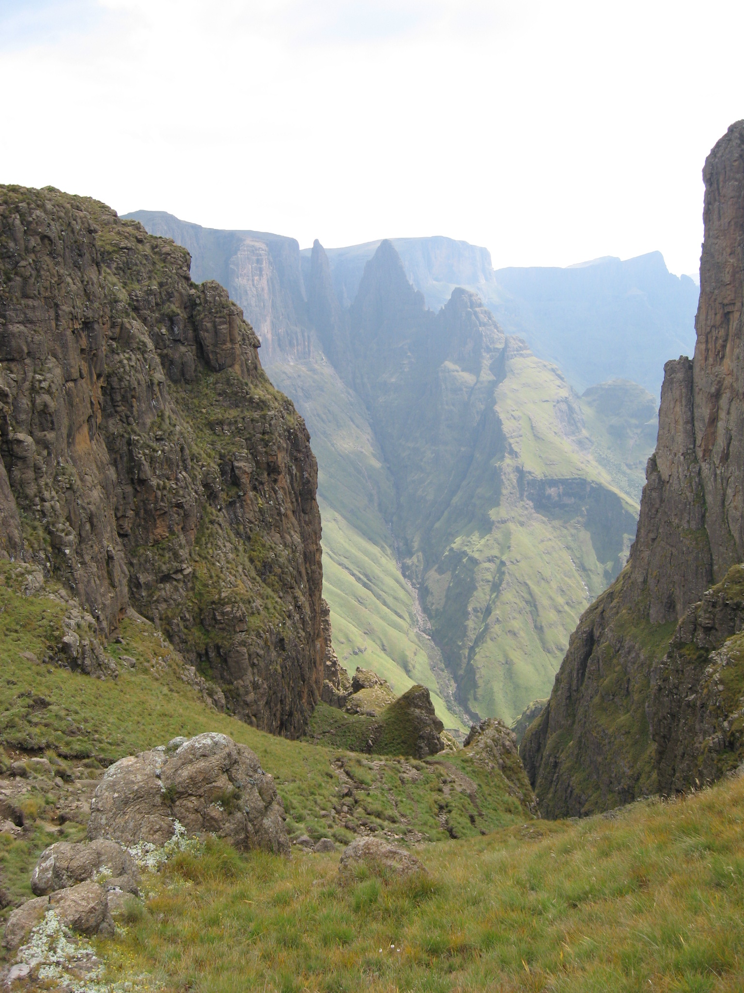
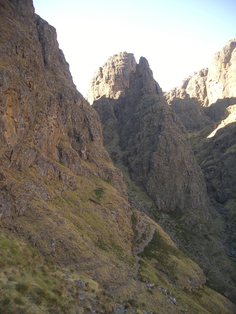
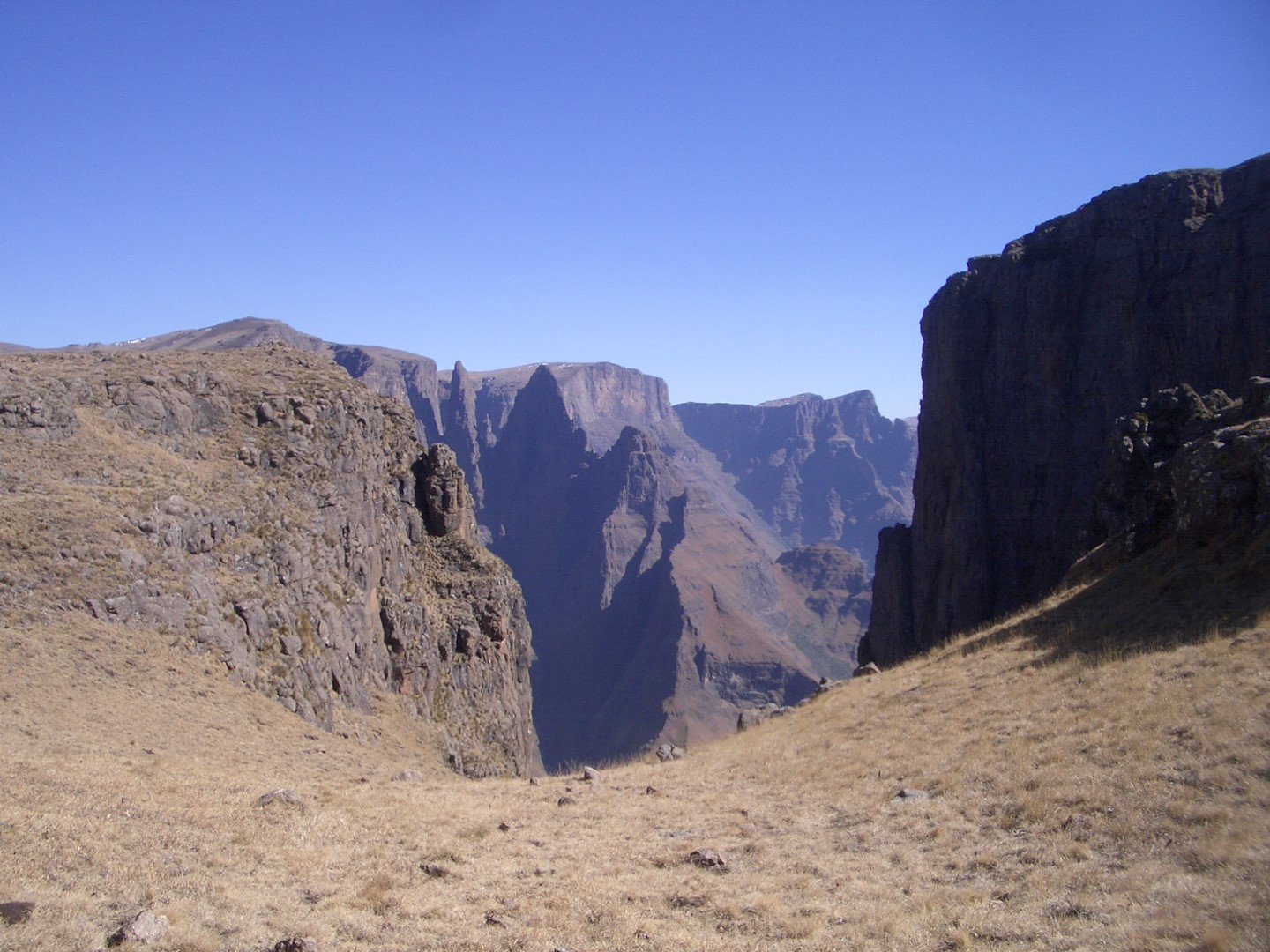
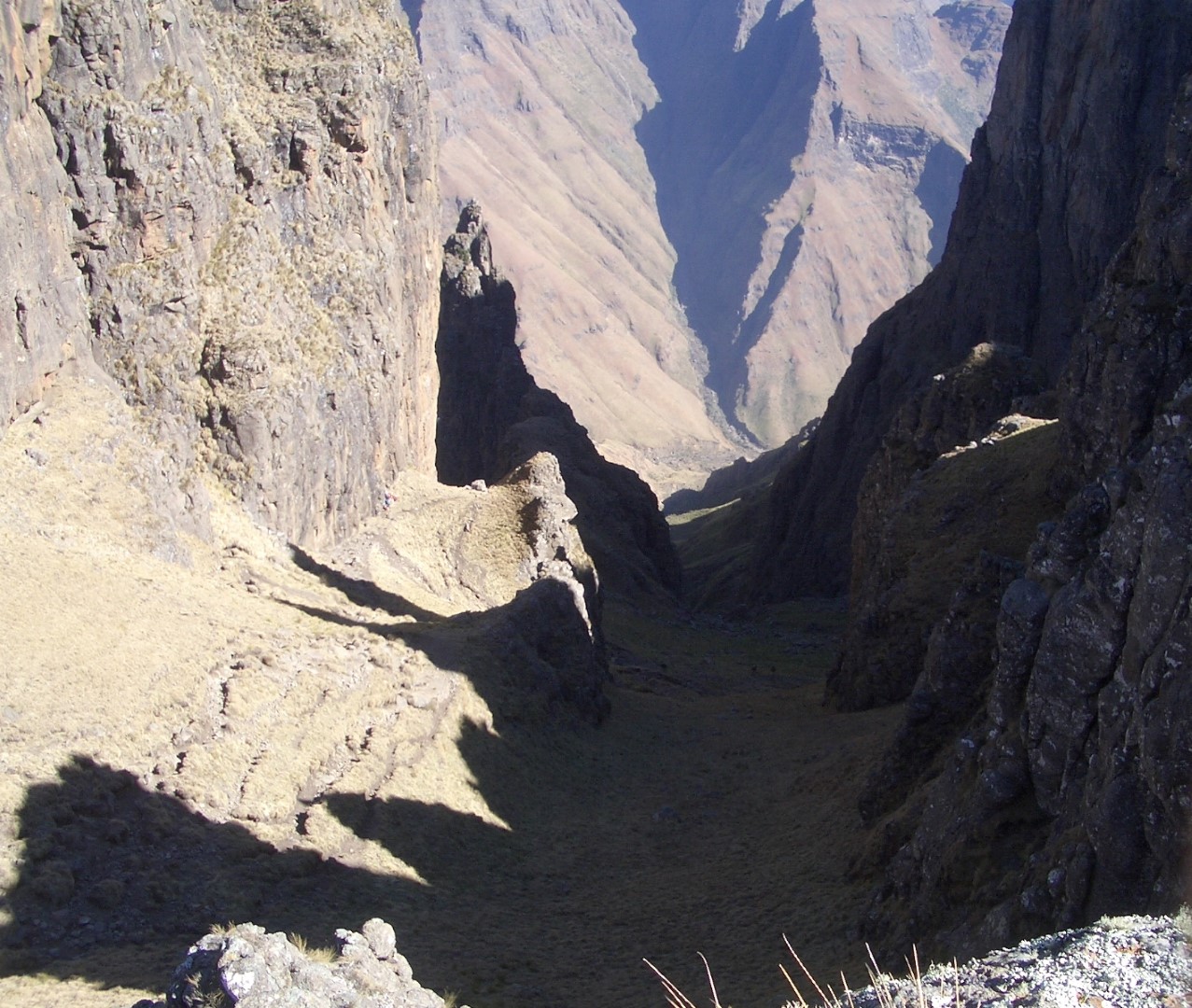
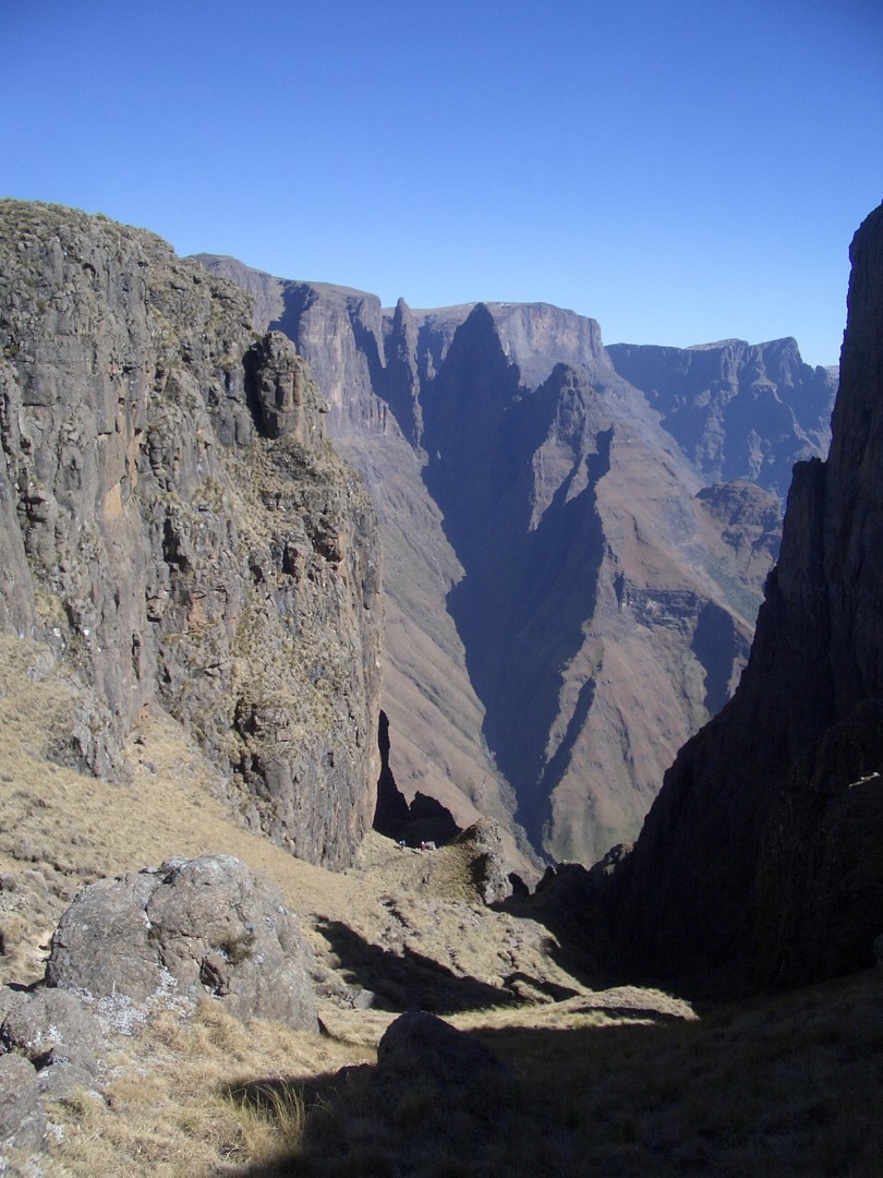
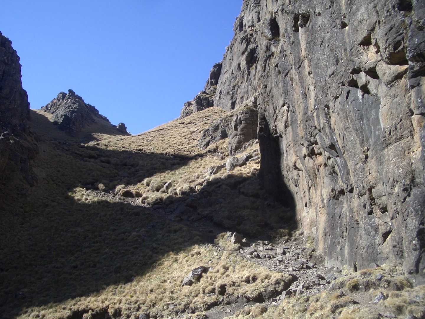
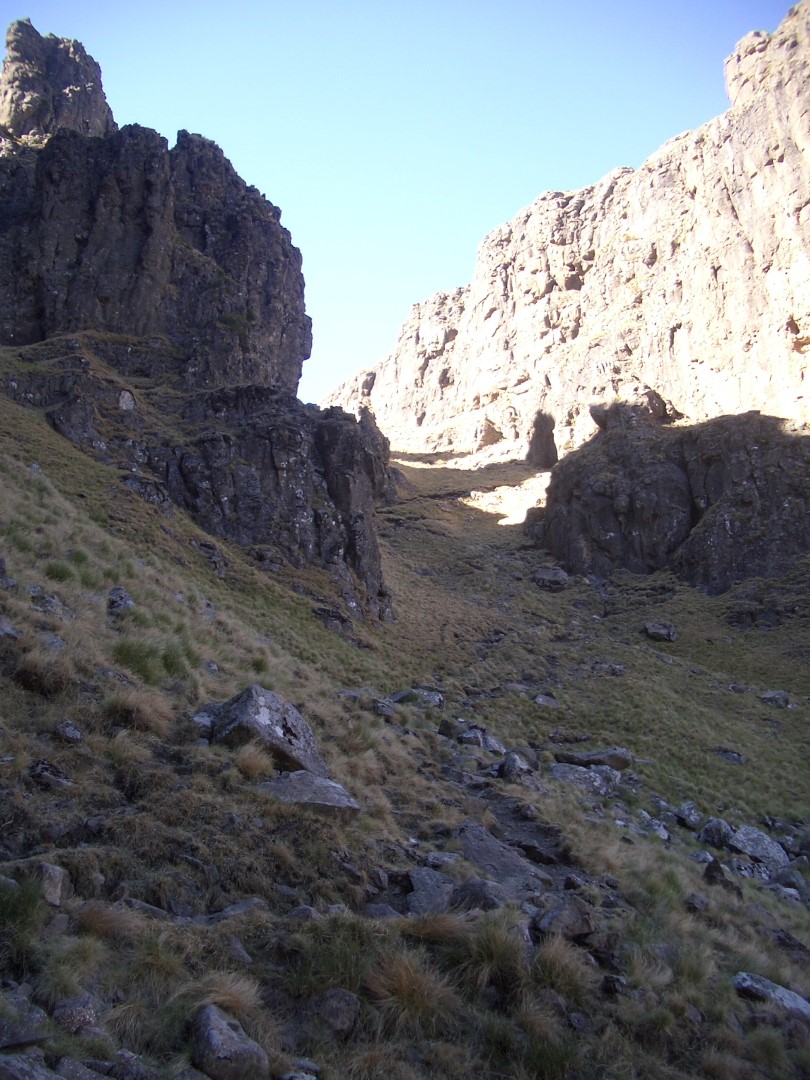
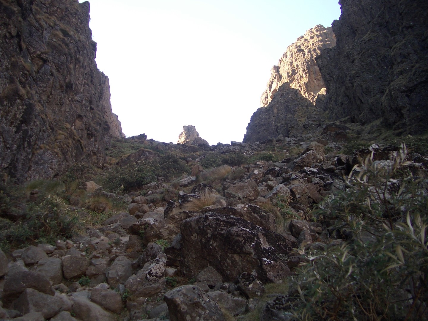
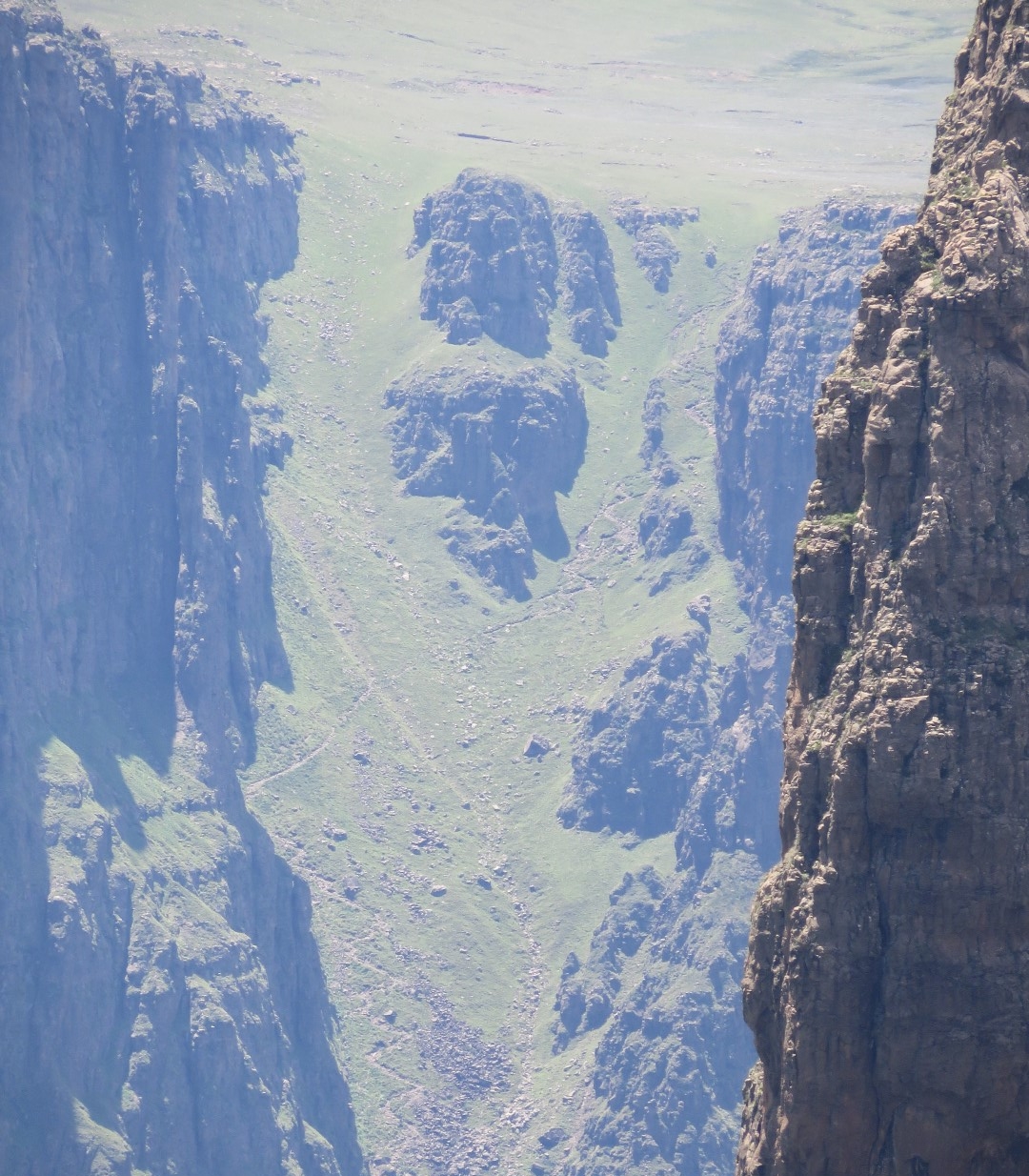
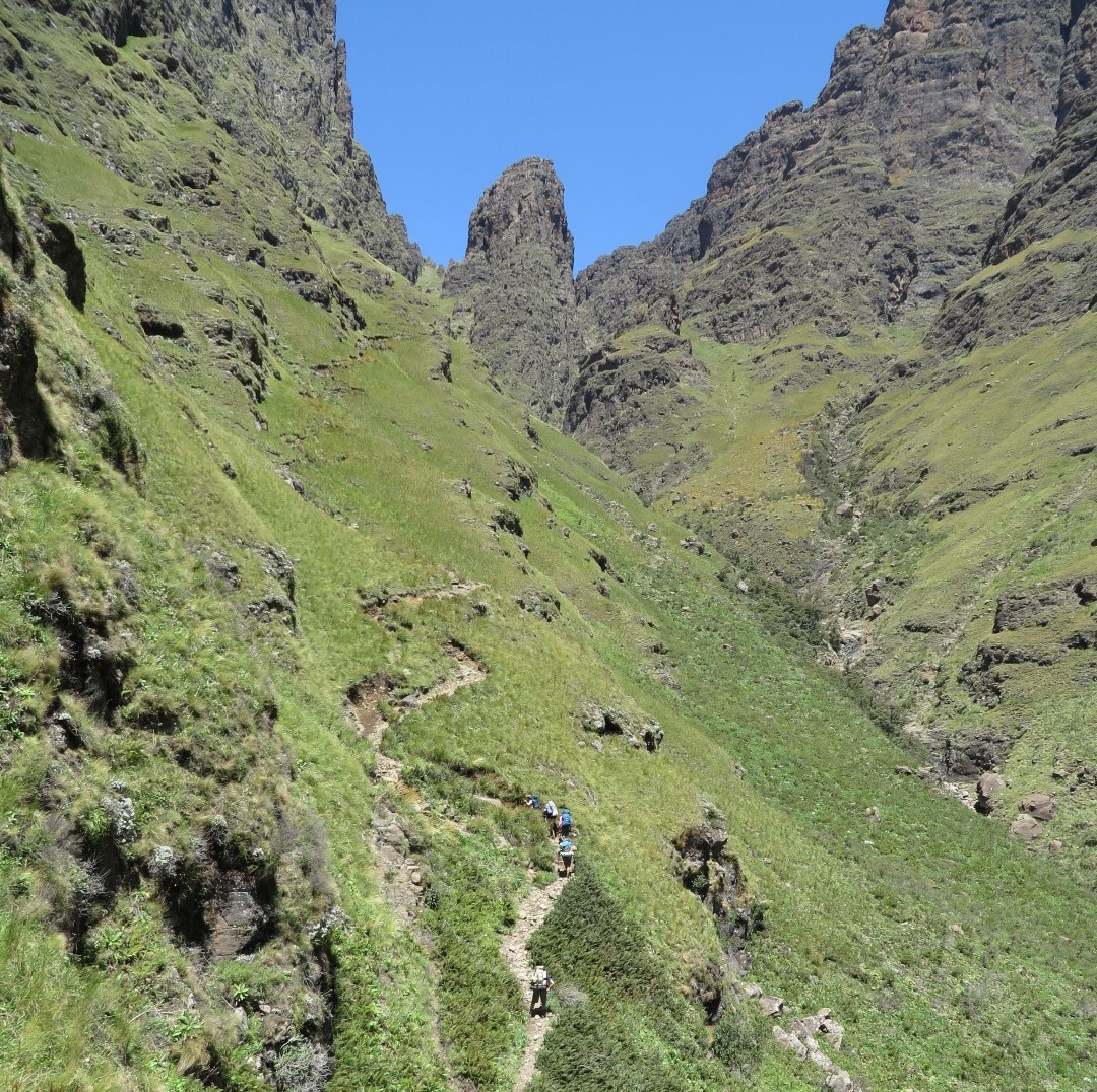
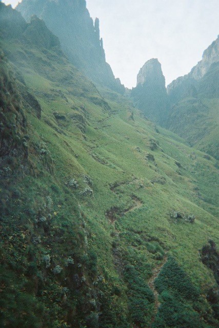
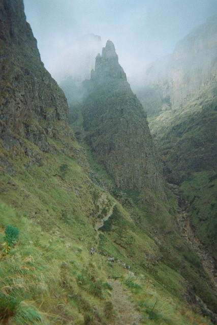
Mnweni Pass climbs steeply through the Mnweni Cutback to the escarpment, with striking views towards the Mnweni Pinnacles and the surrounding cliffs. It is a demanding backpacking route: the pass itself is only one part of a much longer walk from the lower valley.
The pass is often combined with Rockeries Pass. Our four-day Mnweni–Rockeries circuit climbs Rockeries and descends Mnweni; the same two passes can also be used in the opposite direction with a different daily plan.
Approaching through the Mnweni valley
Arrange parking, registration, guiding and any roadhead transfer through the Mnweni Cultural and Hiking Centre. The approach follows the Mnweni valley and includes river crossings before the main pass climb. Allow time for that approach when deciding where to spend the first night.
Lower paths serve local homes and grazing areas as well as hikers. Use the agreed access route and keep checking your position at junctions. A clear path is useful evidence, but it does not identify the destination by itself.
Through the pass
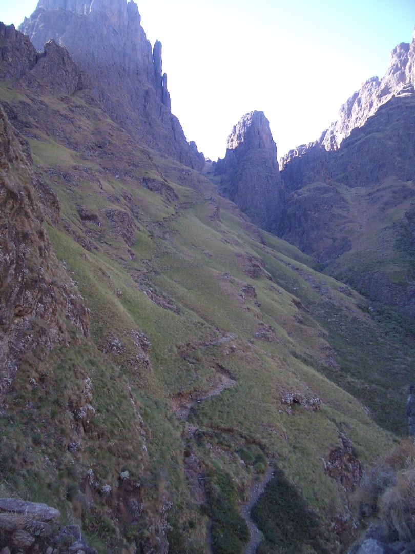
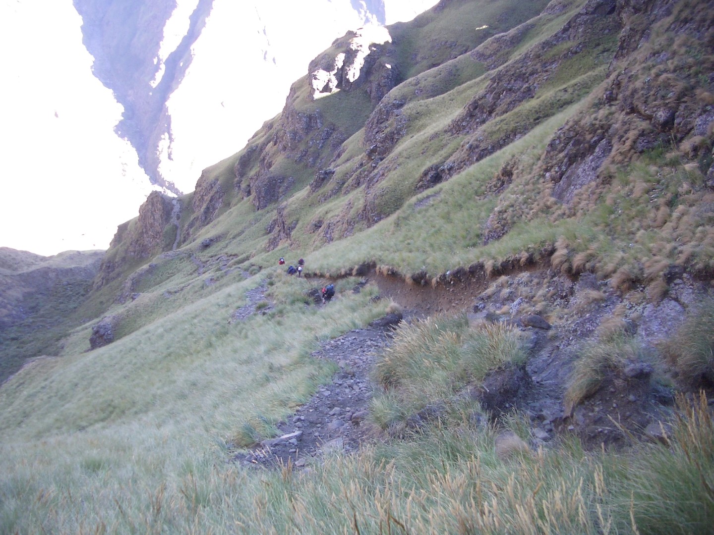
The climb leaves the river approach for steep slopes and zigzags beneath the cliffs. Higher up, the route traverses into the upper pass through eroded ground with several worn path lines. The changing view into the Cutback is a highlight, but the gradient makes this sustained work with an overnight pack.
On descent, take particular care where eroded trails divide or loose rock makes a direct line look tempting. Keep the group close enough to communicate, without placing hikers directly below loose stones. Stop somewhere safe to resolve uncertain navigation before committing to a different gully or slope.
Finding the top from the plateau
Locate the pass entrance on your map before approaching the escarpment. In clear weather the Cutback helps you relate the landscape to the map; in mist those visual clues disappear quickly. Do not use a cairn or a gap in the skyline as the sole reason to start descending.
If you are planning to descend Mnweni after climbing Rockeries, include the plateau crossing in your day’s distance and time. The two pass tops are separate points, and an overnight cave may add another approach.
Overnight options and water
Ledges Cave is a nearby escarpment shelter with an exposed approach. It needs careful identification from above and should be reached with daylight to spare. Mponjwane Cave is farther towards Rockeries and is a different overnight objective.
Arrange suitable overnight stops for the group and carry backup shelter. Refill before leaving dependable valley water, and plan how you will reach water on the plateau. Do not build the climb around finding water flowing in the pass. Treat drinking water, and choose lower camps clear of flood channels.
Skills, conditions and the return journey
This route needs fitness for a long mountain day, reliable navigation and confidence on steep, sometimes loose terrain. Wet grass, mist, snow or ice can change its demands considerably. A guide familiar with Mnweni is a useful choice for a first visit.
Check the forecast, carry warm and waterproof layers, and allow enough time for the approach or walk out after the pass. Complete the local hiking register, leave a route and expected return with a trusted contact, and save the emergency contacts offline.
Maps and route planning
Use a map covering the whole Mnweni valley, the pass and your intended plateau route. This listing does not currently provide a downloadable GPX for Mnweni Pass. The circuit guide explains how the pass fits into a longer trip.
Explore the Mnweni area: the Mnweni regional guide brings local contacts, access and related mountain routes together.
Guide updated 12 November 2026. Confirm local access and mountain conditions before travelling.