
Gxalingenwa Cave Circular Route


 12.5 km's (5 hours) via Pholela Hut on the way to Gxalingenwa Cave and 11.5 km (4 hours) return via Pinnacle Rock.
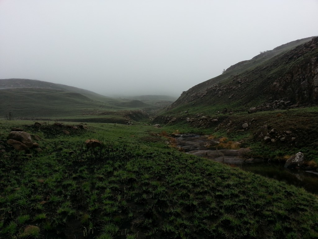
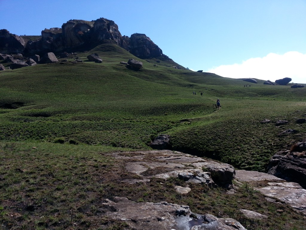
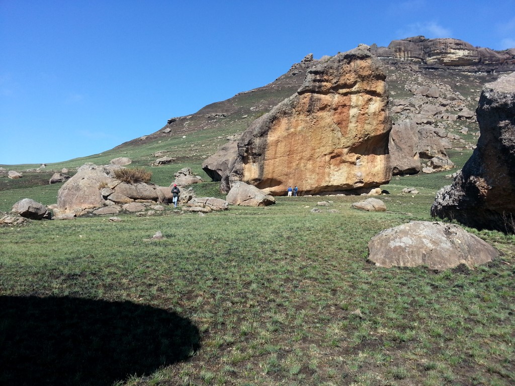
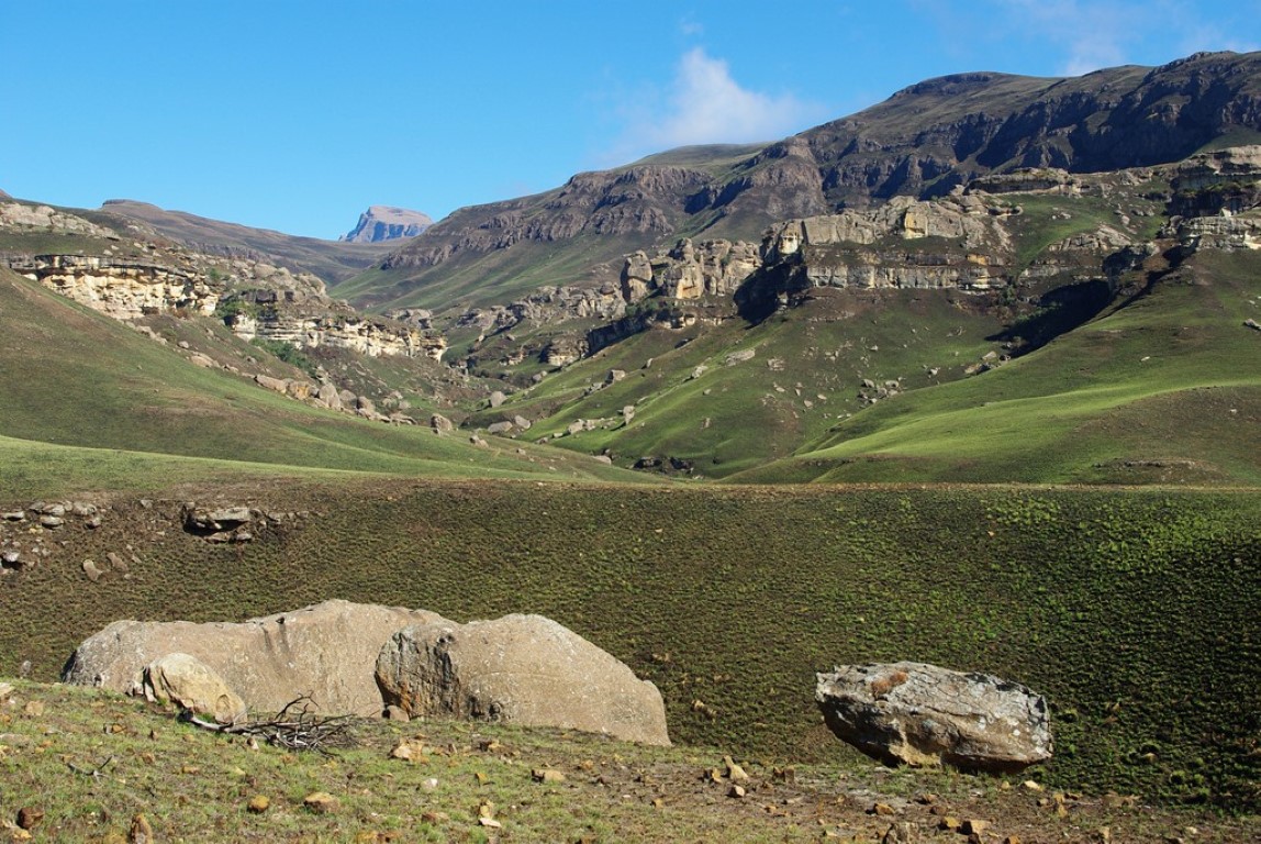
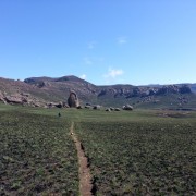
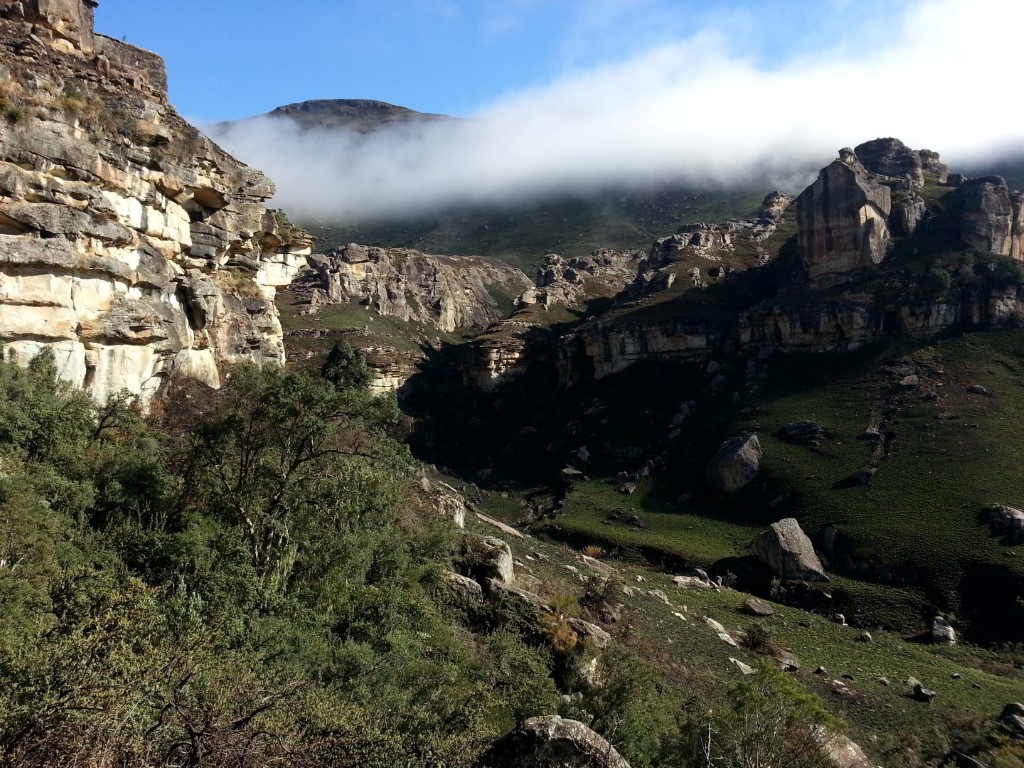
The hike is good for bird watching and game viewing. It follows the Emerald Stream, past indigenous forest to a spectacular waterfall with pools suitable for swimming on the way back form the cave. The hike via Pholela Cave follows day 1 of the giants cup trail in reverse for the first 7.25 km's and then you turn left (continue straight) and follow Gxalingenwa River up the valley.
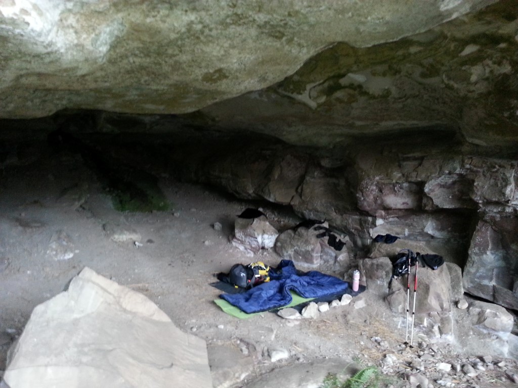
The cave is a real cave with great views into the valley. It's worth staying overnight and making a weekend out of your hike.
Region
Area
Location (Degrees)
29°38'09.4"S 29°21'44.2"E
Location (Decimal)
-29.635933, 29.362283
Cave Name
Max Number in Cave
10
Type of Hike
Day Hike, Overnight
Hike Grade
Hike Distance (Km's to destination)
12.5
Total Hike Distance (Km's)
24.0
Hike Duration (to destination)
5.0
Hike Duration (return)
4.0
Total Hike Duration (Hrs)
9.0
Explore
Caves, Vistas
Altitude
2,072
Tags
Tracks
| distance | duration | avg. speed | trackpoints | trackpt. distance |
|---|---|---|---|---|
| 23.8 km | n/a | n/a km/h | 481 | 49.5 m |
| altitude range | lowest point | highest point | uphill | downhill |
|---|---|---|---|---|
| 461 m | 1614 m | 2075 m | 599 m | 606 m |