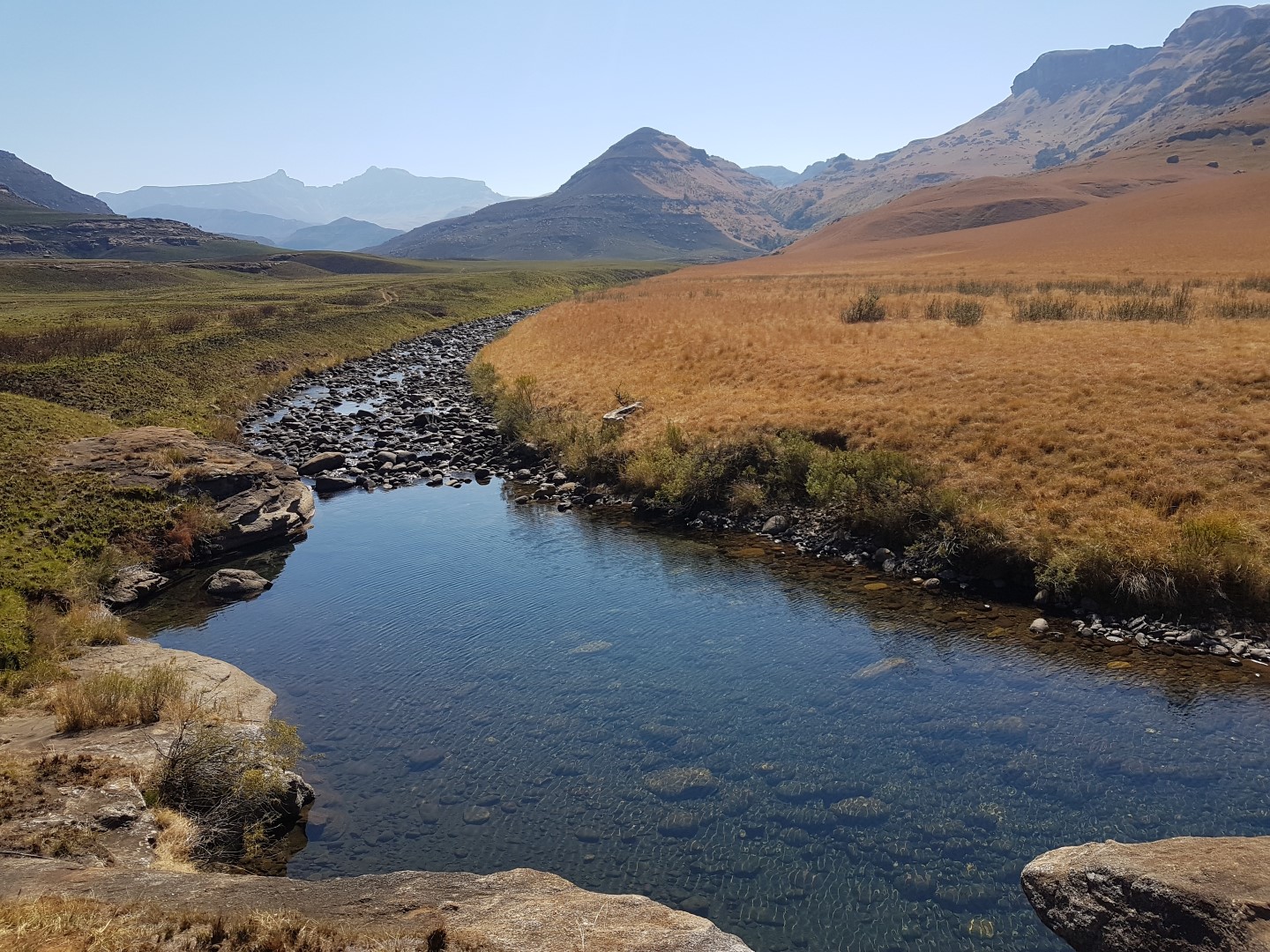
This trail leaves from below the campsite, where one crosses the swing bridge. It follows the Pholela River upstream for about a kilometre, passing a number of pools before it crosses the river again. Check bridge and crossing conditions, and assess pool conditions before entering the water. It then heads back towards the campsite, passing through sections of indigenous Ntshishi (Ouhout) bush (Leucosidea sericea) and grassland, and is excellent in the early mornings for bird watching. Allow 20 minutes to an hour to complete the loop.
Explore the Cobham area: Cobham’s landscape includes the Pholela River, grasslands and sandstone formations below the high escarpment. The reserve is used for day walks, overnight hiking and stages of the Giant’s Cup Trail. Read our Cobham Nature Reserve guide for more about the area and planning a visit.
⚠️ Mountain safety notice
Before starting any high Berg trek, log your group in the official EKZNW Mountain Rescue Register.
Share your experience through our contact form. Include this listing’s name or page URL and the name you would like displayed. Reviews are checked before publication.
We use cookies and similar technologies to improve your experience on our website.
Read our Privacy Policy.