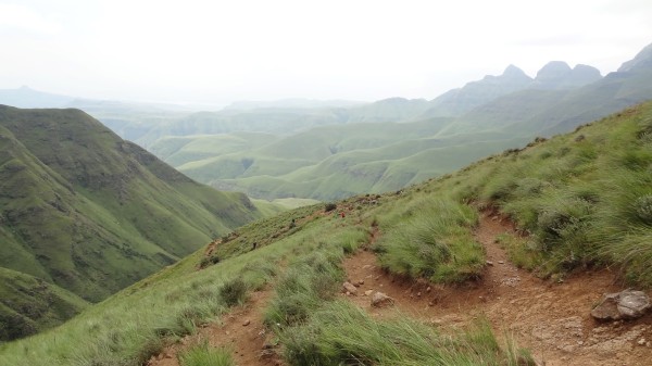
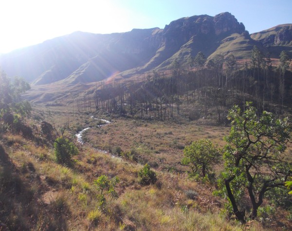
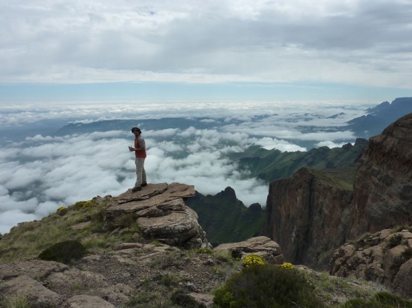
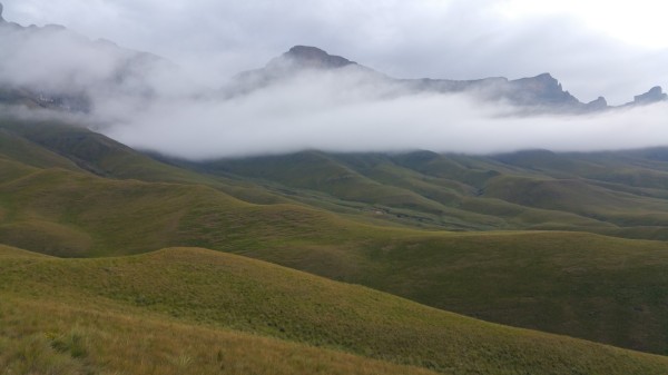
Hikes
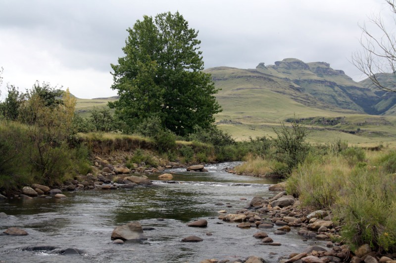
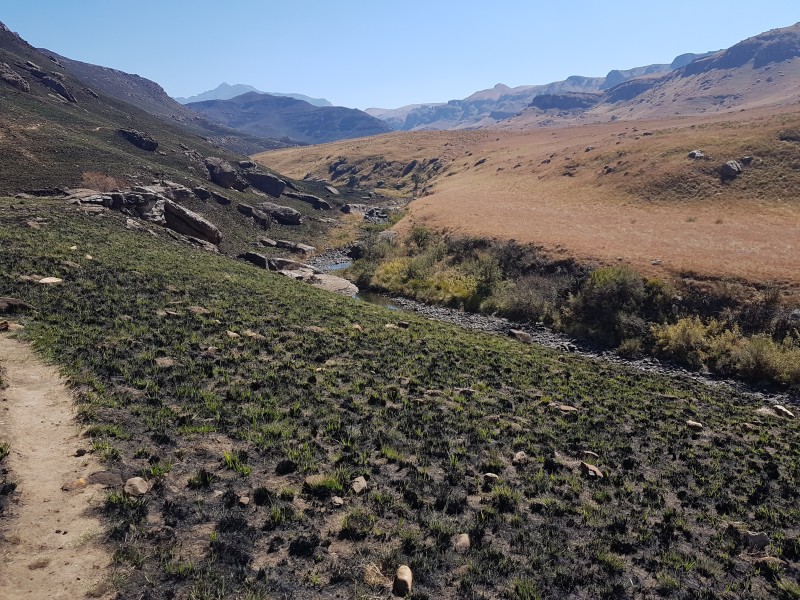
The Drakensberg Mountains offer opportunities for some of the finest hiking in the world. With its sheer cliffs, its fauna, its flora and its San rock art, a hike in the Maloti-Drakensberg Park is a unique experience. The park allows for all levels of hiking, from a stroll around the camp to the most strenuous hikes onto the escarpment.
Ntonyelana Pass (iNtonyelana) Hike
An extreme round trip of a minimum of 2 days. A long route to the top of the escarpment from the Isandlwana Police Post, following the Ntonjelana River.
Read More...
Old Kraal and Yellowwood Forest Hike
This is a short walk in the vicinity of the camp. From the office at Injasuti take the Cowl Stream fork. At the top of the incline turn left to the walls of the old kraal. And shortly after that left again to the old woman stream. After crossing the river turn left and follow the path back to camp. An easy 1 hr hike (2 ...
Read More...
Oqalweni Forest Walk
An easy 2 hrs hike (5.5 kms) This route is ideal for hikers who prefer secluded outings. It starts from the Cathedral Peak Hotel, past the trout hatchery and along the Oqalweni River to a waterfall and pool.
Read More...

Organ Pipes Pass (Camel Route)
Organ Pipes Pass - the Camel Route is marked as dangerous on official maps but this only really applies in icy conditions. There is beautiful scenery on both sides of the ridge.
Read More...

Organ Pipes Pass (Thuthumi Ridge Route)
Organ Pipes Pass is probably one of the most commonly used passes in the KZN Drakensberg. The name is derived from the very impressive wall of rock pinnacles near the top of the pass. The ridge offers stunning views of the Cathedral and Cathkin ridges.
his route is commonly used for smuggling activities and is best av ...
Read More...

Organ Pipes Pass from Cathedral Peak Reserve
Organ Pipes Pass is probably one of the most commonly used passes in the KZN Drakensberg. The name is derived from the very impressive wall of rock pinnacles near the top of the pass. The ridge offers stunning views of the Cathedral and Cathkin ridges.
This route is commonly used for smuggling activities and is best a ...
Read More...
Otto's Walk
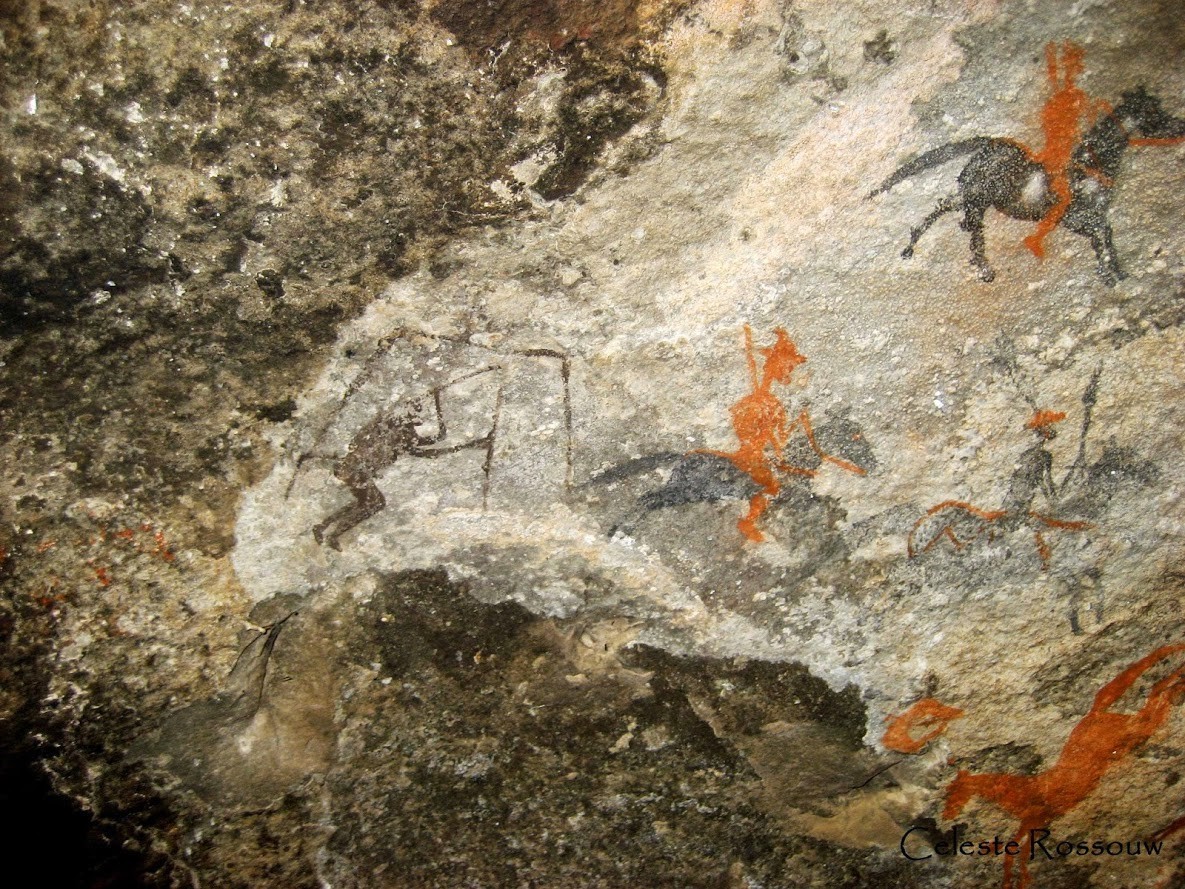
An easy one hour walk of 3 kilometres starting at the visitor's centre which takes you along the Tugela River and continues towards the park gate. The path leads up the Sigubudu Valley to some fine examples of San rock paintings.
Read More...
Ouhout Trail
This trail leaves from below the campsite, where one crosses the swing bridge. It follows the Pholela River upstream for about a kilometre, passing a number of pools suitable for swimming, before it crosses the river again. It then heads back towards the campsite, passing through sections of indigenous Ntshishi (Ouhout ...
Read More...
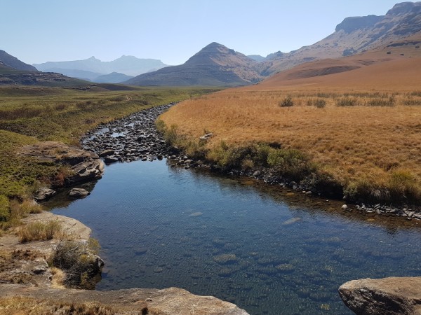
Pholela River Trail
A fair 3.5 hrs hike (9 kms) A variety of walks start from the Cobham Hutted Camp and follow the Polela River, Emerald Stream and Trout Beck. Trout fishing is possible - with a licence.
Read More...

Policeman's Helmet Hike
Starting at the Gorge car park this 6km hike to Policeman's Helmet with an elevation gain 340m along the way offers great views.
Read More...
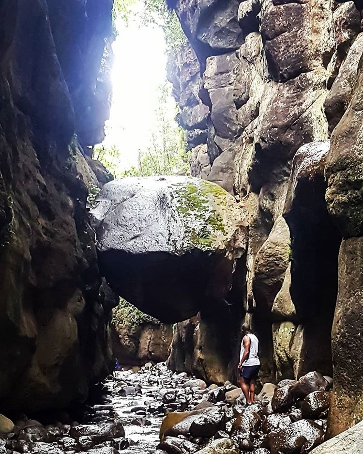
Rainbow Gorge Hike
A fair 2 hrs hike (5.5 kms) This is probably one of the most picturesque hikes in the area. From the hotel skirt the base of Tryme Hill westwards, then eastwards on the path into the gorge. Once in the gorge itself the path follows the river.
Read More...

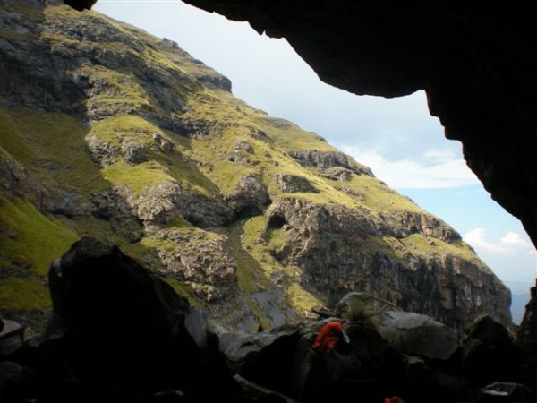
Ribbon Cave and Falls Hike
A moderate hike of 3.5km from Cathedral Peak Hotel with an elevation gain of 358m. The cave sleeps 6 and the floor is level and offers good protection from storms.
Read More...

Rockeries Pass
Rockeries Pass is a relatively easy way to reach the escarpment in the Mnweni area. Navigating your way along this pass is no problem at all because the path is clear.
Read More...
A little gem of a hike, not too many people know about. An easy hike, 5.9km's from the trout dams, shorter if you drive further along until the no entry sign and walk from there.
A moderate uphill on the way of 183m. Roman Baths is a great spot for a family outing, a swim and lunch on the side of the river. If you ven ...
Read More...

Sani Pass
Sani Pass is a high mountain pass. The path is a steep gravel road. By law only 4x4 vehicles may drive this road.
A difficult 8 hour hike (16 km's) The hike up the pass begins in the car park 5.5 km past the Sani Pass Hotel. It is long and steep. Passports are necessary at the top.
Read More...

Sherman's Cave Hike
Sherman's Cave can sleep to and is only 3.6km from Cathedral Peak Hotel, the hike to the cave is all uphill with a total elevation gain of 429m.
Read More...

Ship's Prow Pass (South)
Ship's Prow South Pass is the advised route option, the North Fork has had rockfalls in the past and is very dangerous.
This is a long pass and tops out at 3292m, the highest pass in the Drakensberg.
Read More...
Spare Rib Cave Hike
Injasuti. Proceed up Bannerman Pass from Bannerman Hut. The cave is near the top of the escarpment on the left hand side. A severe 2 hrs hike (3kms)
Read More...

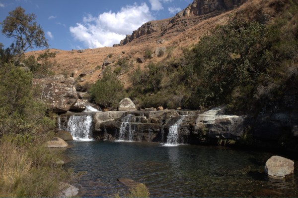
Sterkspruit Falls
An easy walk to the falls starting at the Monks Cowl entrance. Take the well marked path down to the falls. 1 to 2 hours in total time returning back to Monks Cowl entrance.
Read More...

Sterkspruit Falls and Nandi Falls
A scenic 8km circular hike to Sterkspruit Falls and Nandi's Falls with a total elevation gain during the hike of 330m.
Read More...

Tarn Cave is a great cave to stay overnight in the Bushman's Nek area. The hike is 8.9km's to the cave with an elevation gain of 661m along the way, a slow and easy pace and you will be there in around 4 hours.
Read More...

A circular 3 day hike in the Bushman's Nek area. Day 1 is a moderately severe 4-5 hrs hike (10 km's) This hike follows a well-defined path on the northern flank of the Thomathu Ridge. The cave faces north-east and sleeps up to 12 people. The cave is not very deep though and strong winds can be a problem.
Day 2 hike to ...
Read More...
Thamathu Cave Hike
A moderately severe 4-5 hrs hike (10 km's) This hike follows a well-defined path on the northern flank of the Thomathu Ridge.
The cave faces north-east and sleeps up to 12 people. The cave is not very deep though and strong winds can be a problem.
Read More...

Thamathu is a long pass up from Bushman's Nek up the ridge to the top of the escarpment. It is a relatively easy pass. The views on the way up and at the top are lovely.
Along the way you pass Thamathu Cave, a good place to have a rest and take in the views before doing the final 3 km's.
Read More...

The Litsumi Cave Trail in the Tsehlanyane National Park is an 8.4 km return trip (5.25miles), climbing from 1930m to 2520m above sea level. This is a hike leaving from the park entrance. There is parking next to the rangers’ offices at the gate. It is good practice to advise the rangers you will be hiking in the area. ...
Read More...

The Sphinx Hike
A moderate walk from Monks Cowl of 2.4 km and elevation of 312 m to the Sphinx passing Crystal falls on the way. The views are lovely once reaching the Sphinx.
Along the way you walk past Crystal Falls, which is a beautiful waterfall inside of one of the many forests that you will need to walk through. This is a good ...
Read More...

The Waterfall Trail in the Tsehlanyane National Park is an 8.7 km return trip (5.4 miles), Starting at Maliba Lodge at 2030m, dropping to 1980m, then climbing steadily up to 2320m above sea level. This hike is strenuous as it involves pushing your way through dense vegetation up the valley leading to the falls.
As you ...
Read More...
Three Pools Walk
A fair 2 hrs hike (4.5 kms) This short walk has two variations; both lead to pools and the extra distance is more than worth the small effort. It starts at the rangers station and heads eastwards
Read More...

Tlanyaku Pass
Tlanyaku Pass is a steep pass located in the Cathedral Peak area. It is situated between Ndedema Dome and the Sphinx.
Read More...

Tugela Gorge Chain Ladder Hike
This magnificent hike starts at the Gorge Car Park leading through stretches of protea veld and forest, and the scenery beyond the Gorge is spectacular.
Read More...
Two Passes and Cleft Peak Escarpment Hike
An extreme 3 days hike (40 kms) The route starts at the top of Mike's Pass near Cathedral Peak Hotel, up the long ridge and the very steep Organ Pipes Pass. Traverse the escarpment and descend via Mlambonja Pass. This hike is classified extreme and for good reason. Not to be undertaken by the unfit or inexperienced. Mi ...
Read More...

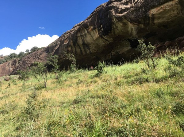
uMkhomazi to Cypress Cave Hike
A hike of 2 hours (4 km's) with an initial uphill of around 180m in elevation, the rest of the hike is flat. This is one of the few short hikes in the area a small party can use the cave, which has running water nearby and sleeps six to eight people, depending on the weather.
Read More...
uMkhomazi to McKenzie's Cave Hike
The caves are situated in the uMhhomazi area about 5.8 km from the parking area. The hike is steep with a total climb of 688m but not long thus rated as moderate. McKenzie’s caves can sleep 12 people.
Read More...
uMkhomazi to Sinclair's Cave Hike
The gradient is average to steep for most of the route and can be rated as difficult. Water is not always available in the area surrounding the cave. This hike can be split up into two days with Cyprus Cave being used as an overnight stop.
Read More...

Van Heyningen's Pass to View Point Hike
This is one of the Berg's most popular day hikes – for good reason. It's not too taxing, and it takes you through a big forest with yellowwood trees, and there are moss-covered rocks and tree trunks everywhere.
You only realise how high you've climbed once you emerge from the forest. From the lookout you can see Cathk ...
Read More...


Witsieshoek Mountain Lodge Hike
A long 9.5km hike with an elevation gain of 820m. The rewards along the way make this uphill climb well worth while.
You pass Cascades, Lookout Rock, Cave Shelter, Mahai Cave and Mahai Falls on the way before reaching Witsieshoek Mountain Lodge at the top.
Read More...
World's View Hike
From the picnic area take the concrete path down to and across Bannerman Bridge. Follow the path to below Sugarloaf Kop and on up to World's View. A moderate 3 hrs hike (7km)
Read More...
Yellowwood Cave Tarn and Waterfall Hike
From the Loteni camp follow the Loteni River then left along the Masinhlonga fork. The cave is south-facing. The route continues up to the contour path, then eastwards back towards the camp.
Read More...