Directory
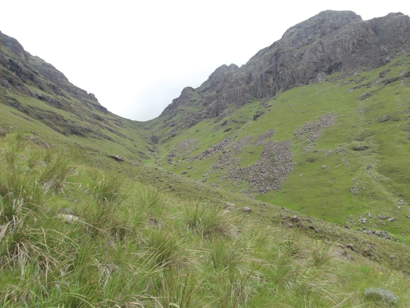
50 listings found Gray's Pass is a short but difficult mountain pass in the Monks Cowl area. The GPS track below starts at Keith Bush Camp; allow separately for reaching the camp and for your return journey. … Injisuthi camp-access note — 2 November 2026: MBC Mountain Backpackers Club reports continuing access restrictions following bridge damage and major flood changes around Marble Baths. Confir… Injisuthi camp-access note — 2 November 2026: MBC Mountain Backpackers Club reports continuing access restrictions following bridge damage and major flood changes around Marble Baths. Confir… This walk starts at Giant’s Castle main camp and follows the Bushman’s River towards indigenous forest. Ask at camp about the route and current trail conditions. Explore the Giants Castle ar… Injisuthi camp-access note — 2 November 2026: MBC Mountain Backpackers Club reports continuing access restrictions following bridge damage and major flood changes around Marble Baths. Confir… Judge Pass is a steep route in the Injisuthi area that involves some rock scrambling. Path visibility can vary with conditions, so plan for navigation as well as the climb. GPS track gpxfile… Older maps may name this route Bushman’s River Pass. It is now associated with amaHlubi Chief Langalibalele and the conflict of 1873. Five members of the colonial force, including three Nata… Older maps may name this route Bushman’s River Pass. It is now associated with amaHlubi Chief Langalibalele and the conflict of 1873. Five members of the colonial force, including three Nata… Leslie's Pass is a long route to the escarpment in the Injisuthi area. Plan for a sustained mountain ascent, the approach and the return journey. GPS track gpxfilename=Leslies_Pass.gpx Explo… Injisuthi camp-access note — 2 November 2026: MBC Mountain Backpackers Club reports continuing access restrictions following bridge damage and major flood changes around Marble Baths. Confir… This hike leads from the camp, along the river near the edge of a forest, up to the large caves, which are crucial archaeological sites and have been turned into a museum showing the Bushman… Injisuthi and Marble Baths access update — 2 November 2026: In a recent Facebook update, MBC Mountain Backpackers Club reports severe flood damage around Marble Baths, including a washed-awa… Injisuthi camp-access note — 2 November 2026: MBC Mountain Backpackers Club reports continuing access restrictions following bridge damage and major flood changes around Marble Baths. Confir… A relatively easy day hike for the family (probably 8 and above). A steep hill on the way to the hut but almost all downhill after. The views from the hut looking back towards Highmoor and i… This hike from Highmoor Camp offers wide views along the way. Mount Lebanon Peak can be viewed from the Highmoor Campsite. The peak is 2 153 m high. The gallery records the small Kamloops Da… Injisuthi camp-access note — 2 November 2026: MBC Mountain Backpackers Club reports continuing access restrictions following bridge damage and major flood changes around Marble Baths. Confir… Rhino Peak (Thaba Ngcobo) is located in the Garden Castle area. The start is at the Garden Castle office and the route is generally up Mashai Pass. Recorded trail times (historical) Men 1. K… This hike starts at the trout dams and covers 5.9 km. A shorter approach starts farther along the road; ask Kamberg Camp about permitted parking and vehicle access before using it. A moderat… Ship's Prow South Pass is a long, steep mountain route. The North Fork is a different route with loose rock and rockfall hazards; identify the correct fork when planning your outing. The pas… From Bannerman Hut in the Giant’s Castle area, proceed up Bannerman Pass. Spare Rib Cave is near the top of the escarpment on the left-hand side when ascending. Allow about 2 hours for the 3… Sterkhorn (Mount Memory) is in the Monks Cowl area. At the top you will find the M.O.T.H memory cross. For very fit and experienced hikers / trail runners Sterkhorn can be reached on a day h… This walk starts at the Monks Cowl entrance and follows the path down to Sterkspruit Falls. Allow about 1 to 2 hours for the return outing. Explore the Monks Cowl area: Monks Cowl provides a… This 8 km circular walk from Monks Cowl combines Sterkspruit Falls and Nandi Falls, with about 330 m of climbing over the outing. The route moves between open foothill paths, protea slopes a… The walk from Monks Cowl to the Sphinx is about 2.4 km, with an elevation gain of 312 m. The route passes Crystal Falls and forest on the climb to the viewpoint. Along the way you walk past …Gray's Pass
Grindstone Caves and Cataract Valley Hike
Grindstone Caves Hike
Grysbok Bush Hike
Injisuthi to Centenary Hut and Marble Baths Cave
Judge Pass
Langalibalele Pass
Langalibalele Pass Hike
Leslie's Pass
Mafadi Hike (SA’s Highest Peak)
Main Caves Hike
Marble Baths Hike
Marble Baths via Grindstone Caves Hike
Meander Hut Hike
Mount Lebanon Hike
Old Kraal and Yellowwood Forest Hike
Rhino Peak Trail Run
Roman Baths Trail
Ship's Prow Pass (South)
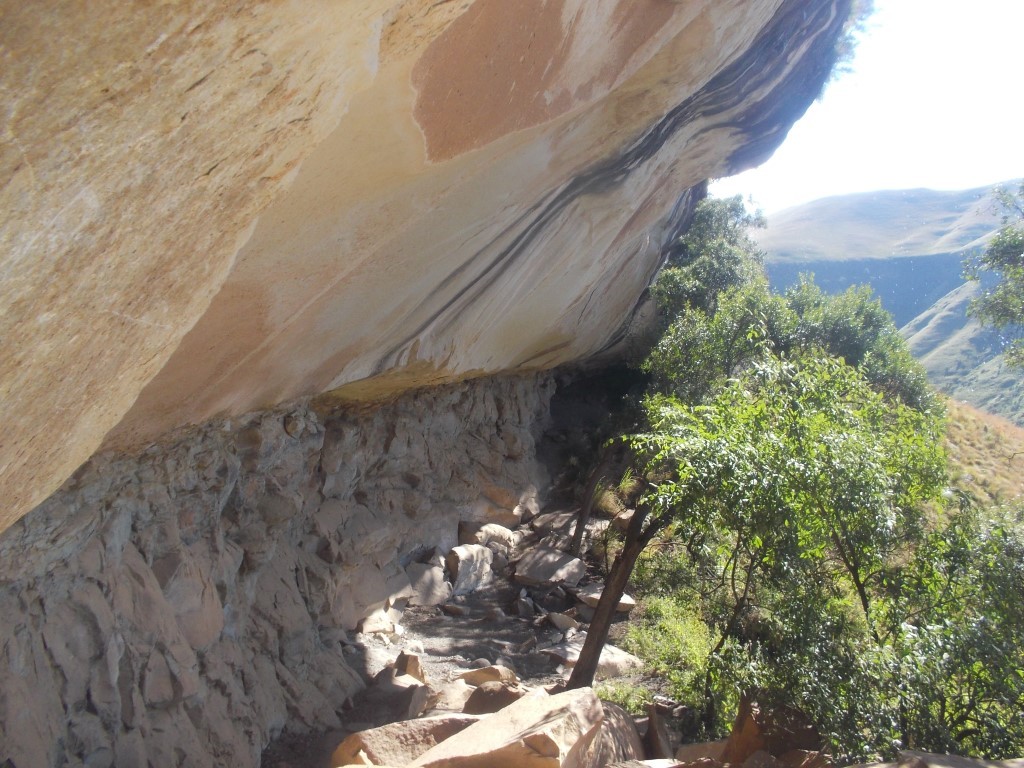
Spare Rib Cave Hike
Sterkhorn (Mount Memory) Trail Run
Sterkspruit Falls
Sterkspruit Falls and Nandi Falls
The Sphinx Hike