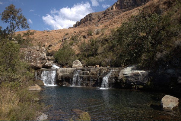
Tags: Hike

Mafadi Hike (SA’s Highest Peak)
Mafadi, at 3450m above sea level, is the highest peak in South Africa. A big dome several hundred of metres away from the edge escarpment, its ascent doesn’t require any technical skill but a high standard of physical fitness and gear. This is usually a 4-day/3-night hike with great caves and incredible views. A t ...
Read More...

Aasvoëlkrans Cave Hike
Aasvoelkrans Cave accommodates 8 people and is approximately 4.2km's from the Highmoor Reserve parking area. This is an easy hike. The cave itself is a "double story" cave and sleeping would generally be at the bottom cave.
There is a steep drop from the top cave and a climb down from the bottom cave to the lovely poo ...
Read More...
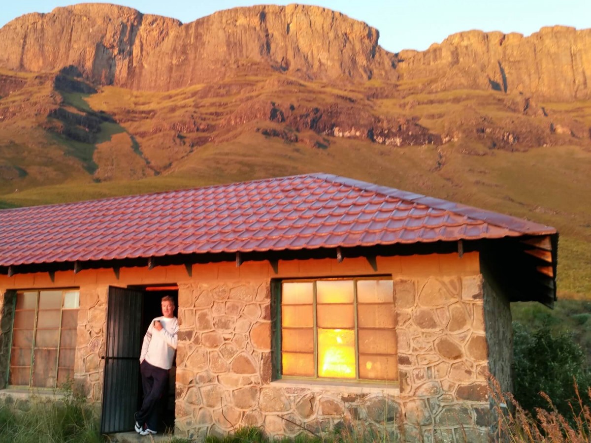
Bannerman Hut and Bannerman Pass Circular Route
If you only ever do one overnight hiking trip in the Drakensberg then this is at the top of the list. The hike to Bannerman Hut on day one is 10km and a climb, most people will be fine.
Sleep in relative luxury and in the morning hike up Bannerman Pass. You have plenty time to get to the top and back before sunset for ...
Read More...

Bannerman Hut Hike
A 10 km hike, mostly uphill to the best overnight hut in the Drakensberg. The hike starts at the day picnic spot at Giants Castle. A short downhill and then a mostly gentle climb for about 4km's.
The last 5km's are along the contours to the Hut, enjoy the views on the way. The sunrise that awaits you from the hut in t ...
Read More...

Bannerman Hut via Langalibalele Ridge
The long way to get to Bannerman Hut, 14km's, 609m uphill most of which is in the 1st half of the hike, its pretty flat thereafter.
The views from Bannerman Hut and the relative luxury of the hut overnight will make the hike worth while.
Read More...
Bannerman hut at the bottom of this pass makes this a very popular pass. It is short and fun to do especially if you are new to the Drakensberg.
Bannerman cave can be found over the summit ridge to the south. The pass is 3 km long and 822 up from Bannerman Hut. On the way up the pass (1.8km) you will see Spare Rib Cav ...
Read More...

Bannerman Pass Hike
Bannerman Pass was named after former British Prime Minister Sir Henry Campbell-Bannerman. It is said that, when viewed from the right angle, the cliffs just south of the pass resemble the profile of his face. Personally I have never been able to see it, but nonetheless, that's the origin.
Risks: the pass can get iced ...
Read More...
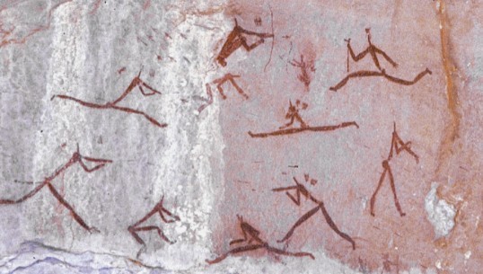
Battle Cave Hike
From Injisuthi Camp follow the route towards Fergy's Cave and then take the right fork along the Injisuthi River approximately 4kms from the start and about 1km before Fergy's Cave.
Total distance to the cave is 5.7km and an climb of only 258m.
The cave is fenced so cannot be accessed without a guide. Contact: 036&nb ...
Read More...

Battle Cave to Injisuthi Cave, Grindstone Caves & Catar...
This hike begins at Injasuti camp and follows a circular route via Grindstone Caves, the waterfalls and Cataract Valley. The path follows the Mhlwazini River back to the camp. A moderate 4 hrs hike (13km)
Read More...

Caracal Cave Hike
Caracal Cave easily accommodates 8 people and is approximately 5.2km's from the Highmoor Reserve parking area. This is a relatively easy hike to the Cave and a bit of a climb back to the parking area.
This is a very comfortable cave. Water supply is seasonal, although water flowing over the top of the cave has been se ...
Read More...

Centenary Hut Hike
A difficult 10.5km hike starting at Injisuthi Camp to Centenary Hut but worth every aching muscle once you get to the top. The first 7.5 km's are easy and then the "little" hill to climb up to the hut. It seems never ending at times but is most definitely achievable by most people, take it easy up the hill and you will ...
Read More...
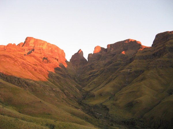
Champagne Castle Via Gray's Pass Hike
Champagne Castle is the second highest mountain in South Africa at 3377m and is located in the central drakensberg. This hike is perfect for fit hikers who are looking for a unique multi day hiking experience.
Read More...

Cleo's Pools Hike
There is a small cave next to the stream which has an interesting burial site in the right side of the cave. The burial chamber was upright to cater for a body in a seated position and the remains of a bushman type person were removed for research purposes in the middle of the last century, but the stones of the grave ...
Read More...

Drakensberg Sun to Blue Grotto Pool (return via Barry's...
This is a great 3 hour (6,6km circular route) moderate walk through an indigenous forest to a magnificent grotto with waterfall and pool. The water can be cold as not too much sun shines into the pool.
After the pool head up the hill to Barry's Grave. Dick Barry was one of the early mountaineering pioneers of the area ...
Read More...

Drakensberg Sun to Fern Forest
An easy family hike starting at Drakensberg Sun of 4.3km in total distance.
Read More...

Fulton's Rock Hike
Fulton's Rock has a bushman painting of an elephant, indicating that at one time elephants may have wandered around this part of the Drakensberg.
Highmoor camp to Fulton's rock is an easy hike to the rock and a bit more dfficult coming back to the camp up the steep hill you walked down earlier. A slow and steady pace ...
Read More...
The trail to Game Pass Shelter is a two-and-a-half, to three-and-a-half hour guided walk, via the spiritually moving Waterfall Shelter. It is nothing short of a world-class experience in Khoisan rock art and living Zulu and San culture. Walks normally leave at 09h00, 11h00 and between 12h30.
The walk is preceded by a ...
Read More...
A hike to the main caves to see Bushman Paintings and then along the Bushman's river for a picnic. The circular route is 5.3km's and can be made shorter if required.
A great day out for all ages.
Read More...

Giant's Castle Pass
One of the most identifiable passes of the Drakensberg Mountains, Giant's Castle Pass is a steep, rocky ascent to 3 102m offering stunning views.
Some say it's an extreme 4 hr (6 km) hike from Giant's Hut below, others will say an easy 2hrs, we would say a 3 hr moderately difficult hike with a full backpack.
Read More...

Giant's Hut via Oribi Ridge Hike
An alternative route to Giant's Hut just south of the two Dassies stream route. It starts at the main Giant's Castle Camp, climbing steadily to the hut, which must be booked. A severe 4 hrs hike (10.5km)
Read More...

Giant's Viewpoint Hike
This is a pleasant walk that is pretty level with a path that is easy to follow. Cape Vultures, Blesbok and Eland are often seen and the Giant's Castle view is stunning on a clear day.
Read More...

Gladstone's Nose Trail
A 4.4km hike with a 436m uphill near the end. The Gladstone's Nose Trail is considered to be one of the most beautiful trails in the Drakensberg. Different species of antelope occur in the area . The trail passes through grassland and indigenous forests.
Read More...

Gray's Pass
Gray's Pass can be described as great gain for little pain. The pass itself is quite short and is situated in the Monks Cowl area, its still however a difficult hike.
Read More...

Grindstone Caves and Cataract Valley Hike
A moderate 4 hrs hike (13 kms) This hike begins at injasuti camp and follows a circular route via Grindstone Caves, the waterfalls and Cataract Valley. The path follows the Mhlwazini River back to the camp.
Read More...
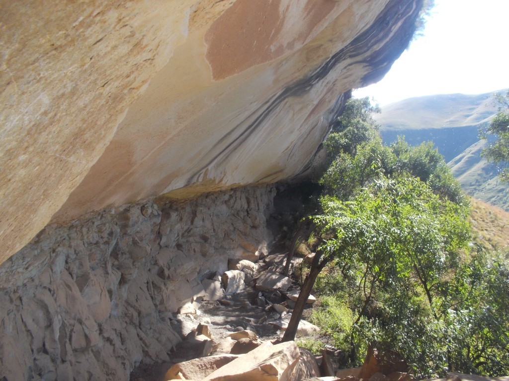
Grindstone Caves Hike
From Injisuthi Camp head past Yellowwood forest for a steep 4.2km's hike all uphill with an elevation gain of 377m. It sometimes feels like even more.
The cave sleeps 12 and the views down the valley from the cave are spectacular, definitely worth spending a night over in this cave.
Read More...

Grysbok Bush Hike
This hike, starting at Giant's Castle main camp, takes you up the Bushman's River to the largest forest in the Giant's Castle area.
Read More...
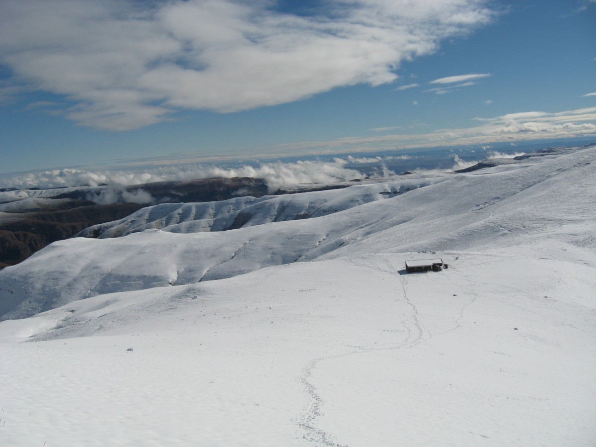
Injisuthi to Centenary Hut and Marble Baths Cave
A three day, two nights hike starting at Injisuthi Camp. Each day of this circular route has its own unique views and hiking challenges.
Day one to Centenary is a testing 10.5km to Centenary Hut, wake up the next morning to a stunning sunrise. Day 2 is the day without paths, a steep downhill and then a small climb nea ...
Read More...

Judge Pass
Judge Pass is a steep pass which calls for some rock scrambling. The path is very clear. It is located in the Injisuthi region of the Berg.
Read More...

Langalibalele Pass
Old maps may refer to this as "Bushman's River Pass", as it was known in the 19th century. The exact date of the name change to "Langalibalele Pass" is uncertain, but makes reference to the arrest of the amaHlubi Chief Langalibalele at the top of this pass in 1873. Seven people died during this capture, five from the E ...
Read More...

Langalibalele Pass Hike
Old maps may refer to this as "Bushman's River Pass", as it was known in the 19th century. The exact date of the name change to "Langalibalele Pass" is uncertain, but makes reference to the arrest of the amaHlubi Chief Langalibalele at the top of this pass in 1873. Seven people died during this capture, five from the E ...
Read More...

Leslie's Pass
Leslie's Pass is relatively easy to hike, it is just very long. Leslie's and Injisuthi pass are the only routes to the top in the Injisuthi area.
Read More...
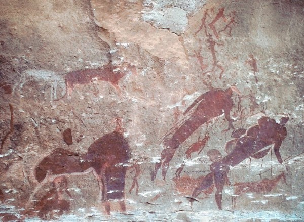
Main Caves Hike
This hike leads from the camp, along the river near the edge of a forest, up to the large caves, which are crucial archaeological sites and have been turned into a museum showing the Bushman's way of life. Tours are conducted throughout the year at set times in the company of a field ranger. An easy 40min hike.
Tours ...
Read More...

Marble Baths Hike
From Injisuthi Camp follow the route towards Fergy's Cave, after 5km's turn right crossing over the river, only 3km's and 200m elevation to go. The path is on the left side of the valley and slowly climbs higher towards Marble Baths.
Marble Baths Cave and Annex are 50m from Marble Baths should you choose to sleep over ...
Read More...
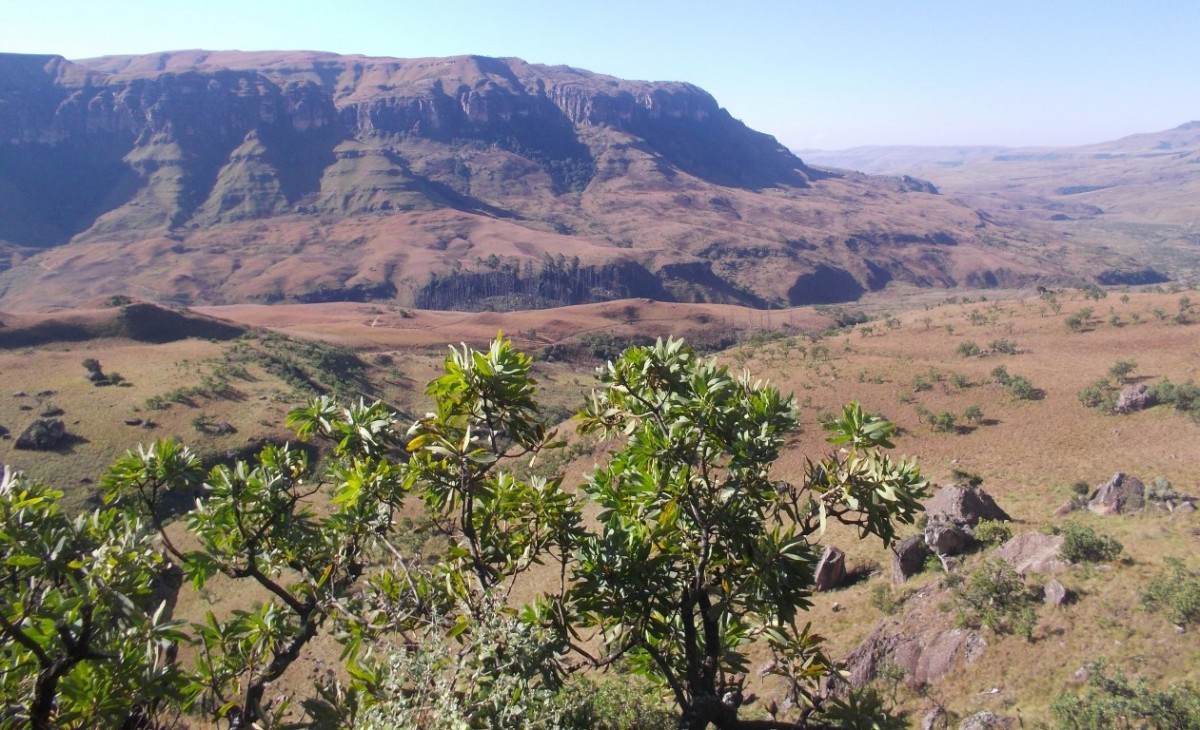
Marble Baths via Grindstone Caves Hike
From Injisuthi Camp head past Yellowwood forest for a steep 3.8 km's hike all uphill to Grindstone Caves, continue up past the caves, the views at the top of the Drakensberg are stunning.
Follow the path South West across the ridge for 3km's of relatively flat walking, then downhill and towards Marble Baths. A good ma ...
Read More...
A relatively easy day hike for the family (probably 8 and above). A steep hill on the way to the hut but almost all downhill after. The views from the hut looking back towards Highmoor and into the valley below are worth while.
Sadly the hut burnt down and is not in use at the moment. The first image in the gallery sh ...
Read More...

Mount Lebanon Hike
The longest of all the hikes from Highmoor Camp rewarded with great views along the way. Mount Lebanon Peak can be viewed from the Highmoor Campsite. The peak is 2 153 m high.
In the gallery you will see how the small Kamloops Dam had overflowed from a short downpour a little earlier, always keep an eye on the weather ...
Read More...
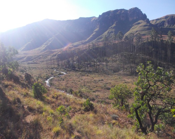
Old Kraal and Yellowwood Forest Hike
This is a short walk in the vicinity of the camp. From the office at Injasuti take the Cowl Stream fork. At the top of the incline turn left to the walls of the old kraal. And shortly after that left again to the old woman stream. After crossing the river turn left and follow the path back to camp. An easy 1 hr hike (2 ...
Read More...
A little gem of a hike, not too many people know about. An easy hike, 5.9km's from the trout dams, shorter if you drive further along until the no entry sign and walk from there.
A moderate uphill on the way of 183m. Roman Baths is a great spot for a family outing, a swim and lunch on the side of the river. If you ven ...
Read More...
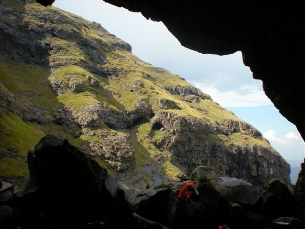
Spare Rib Cave Hike
Injasuti. Proceed up Bannerman Pass from Bannerman Hut. The cave is near the top of the escarpment on the left hand side. A severe 2 hrs hike (3kms)
Read More...

Sterkspruit Falls
An easy walk to the falls starting at the Monks Cowl entrance. Take the well marked path down to the falls. 1 to 2 hours in total time returning back to Monks Cowl entrance.
Read More...

Sterkspruit Falls and Nandi Falls
A scenic 8km circular hike to Sterkspruit Falls and Nandi's Falls with a total elevation gain during the hike of 330m.
Read More...

The Sphinx Hike
A moderate walk from Monks Cowl of 2.4 km and elevation of 312 m to the Sphinx passing Crystal falls on the way. The views are lovely once reaching the Sphinx.
Along the way you walk past Crystal Falls, which is a beautiful waterfall inside of one of the many forests that you will need to walk through. This is a good ...
Read More...

Van Heyningen's Pass to View Point Hike
This is one of the Berg's most popular day hikes – for good reason. It's not too taxing, and it takes you through a big forest with yellowwood trees, and there are moss-covered rocks and tree trunks everywhere.
You only realise how high you've climbed once you emerge from the forest. From the lookout you can see Cathk ...
Read More...
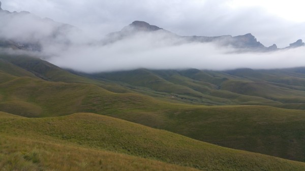
World's View Hike
From the picnic area take the concrete path down to and across Bannerman Bridge. Follow the path to below Sugarloaf Kop and on up to World's View. A moderate 3 hrs hike (7km)
Read More...


